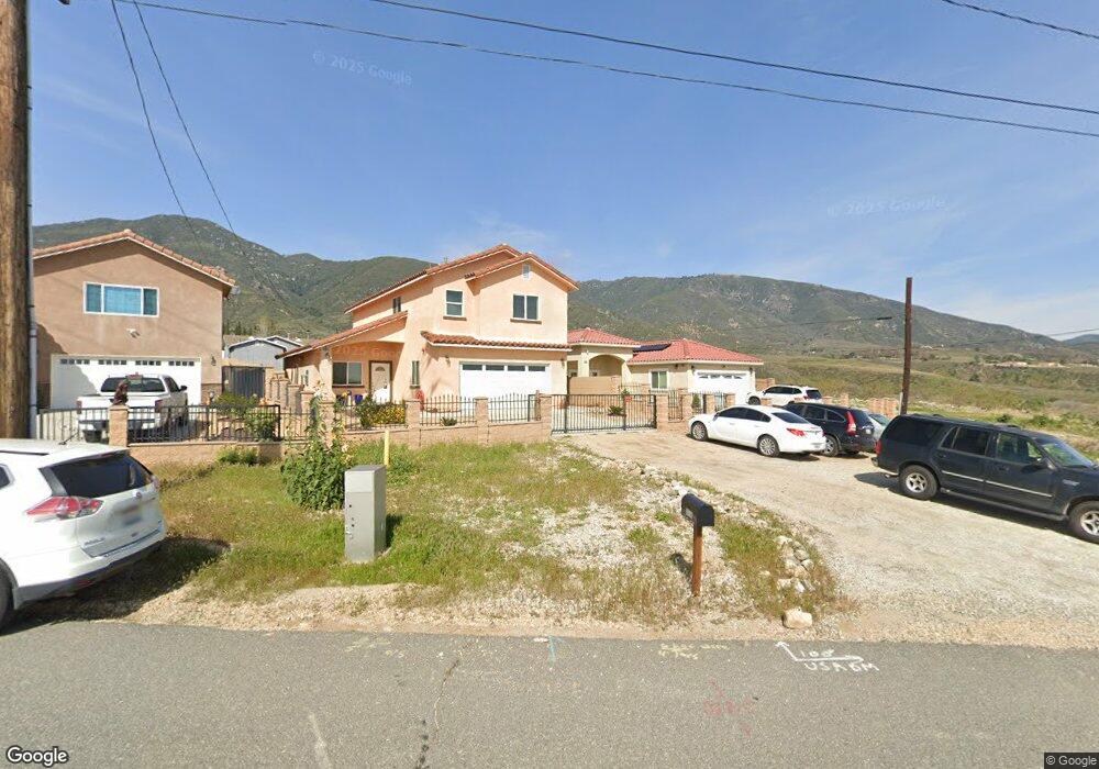
1621 Shoshone Rd Devore Heights, CA 92407
Estimated Value: $174,067 - $238,000
2
Beds
1
Bath
896
Sq Ft
$229/Sq Ft
Est. Value
About This Home
This home is located at 1621 Shoshone Rd, Devore Heights, CA 92407 and is currently estimated at $205,356, approximately $229 per square foot. 1621 Shoshone Rd is a home with nearby schools including Twentynine Palms Elementary School, Twentynine Palms Junior High School, and Twentynine Palms High School.
Ownership History
Date
Name
Owned For
Owner Type
Purchase Details
Closed on
Mar 1, 2001
Sold by
Chaviano Jorge and Chaviano George
Bought by
Maxon Chalceus
Current Estimated Value
Home Financials for this Owner
Home Financials are based on the most recent Mortgage that was taken out on this home.
Original Mortgage
$19,500
Outstanding Balance
$7,074
Interest Rate
6.97%
Mortgage Type
Seller Take Back
Estimated Equity
$198,282
Create a Home Valuation Report for This Property
The Home Valuation Report is an in-depth analysis detailing your home's value as well as a comparison with similar homes in the area
Home Values in the Area
Average Home Value in this Area
Purchase History
| Date | Buyer | Sale Price | Title Company |
|---|---|---|---|
| Maxon Chalceus | $22,500 | Fidelity National Title | |
| Chaviano Jorge | -- | Fidelity National Title |
Source: Public Records
Mortgage History
| Date | Status | Borrower | Loan Amount |
|---|---|---|---|
| Open | Maxon Chalceus | $19,500 |
Source: Public Records
Tax History
| Year | Tax Paid | Tax Assessment Tax Assessment Total Assessment is a certain percentage of the fair market value that is determined by local assessors to be the total taxable value of land and additions on the property. | Land | Improvement |
|---|---|---|---|---|
| 2025 | $654 | $33,909 | $3,394 | $30,515 |
| 2024 | $633 | $33,244 | $3,327 | $29,917 |
| 2023 | $621 | $32,592 | $3,262 | $29,330 |
| 2022 | $609 | $31,953 | $3,198 | $28,755 |
| 2021 | $600 | $31,326 | $3,135 | $28,191 |
| 2020 | $593 | $31,005 | $3,103 | $27,902 |
| 2019 | $588 | $30,397 | $3,042 | $27,355 |
| 2018 | $580 | $29,801 | $2,982 | $26,819 |
| 2017 | $572 | $29,217 | $2,924 | $26,293 |
| 2016 | $562 | $28,644 | $2,867 | $25,777 |
| 2015 | $487 | $28,214 | $2,824 | $25,390 |
| 2014 | $484 | $27,662 | $2,769 | $24,893 |
Source: Public Records
Map
Nearby Homes
- 68243 Pioneer Trail
- 1227 Alfalfa Ave
- 0 Papoose Trail Unit IV25251989
- 0 Papoose Trail Unit SR25241846
- 0 Shoshone Unit BB25266577
- 0 Old Chisholm Trail Unit CV25245474
- 69561 Papoose Trail
- 0 Emerald Dr Unit JT26025964
- 0 Kachina St Unit HD25281800
- 70373 Orion St
- 0 Pampas Ave Unit SW25258208
- 69570 Squaw Rd
- 69626 Brant Cross Rd
- 69247 Giant Rock Rd
- 0 Learco Way Unit BB24188573
- 2680 Alfalfa Ave
- 2424 Maize Rd
- 2 Kachina
- 69874 Sunny Sands Dr
- 1760 Valley View Rd
- 6972200 Pole Line Rd
- 69833 Red Hill Rd
- 71175 Pole Line Rd
- 71185 Pole Line Rd
- 634201 Pole Line Rd
- 1529 Shoshone Valley Rd
- 1600 Pole Line Rd
- 72670 Pole Line Rd
- 68200 Pole Line Rd
- 6 Pole Line Rd
- 1526 Shoshone Valley Rd
- 1479 Shoshone Valley Rd
- 69859 Pole Line Rd
- 1541 Shoshone Valley Rd
- 69572 Pole Line Rd
- 1577 Pampas Ave
- 1819 Shoshone Valley Rd
- 1635 Hales Dr
- 1573 Hales Dr
- 69969 Highview Trail
Your Personal Tour Guide
Ask me questions while you tour the home.