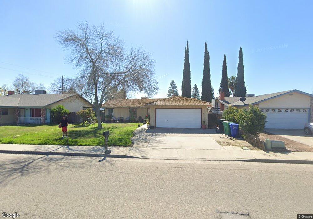
1621 W Westfield Ave Porterville, CA 93257
Porterville Northwest NeighborhoodEstimated Value: $311,068 - $334,000
4
Beds
2
Baths
1,145
Sq Ft
$282/Sq Ft
Est. Value
About This Home
This home is located at 1621 W Westfield Ave, Porterville, CA 93257 and is currently estimated at $323,017, approximately $282 per square foot. 1621 W Westfield Ave is a home located in Tulare County with nearby schools including Oak Grove Elementary School, Burton Middle School, and Monache High School.
Ownership History
Date
Name
Owned For
Owner Type
Purchase Details
Closed on
Jun 17, 2024
Sold by
Wright Dennis M and Wright Pamela Letsinger
Bought by
Dennis M Wright And Pamela L Wright Family Tr and Wright
Current Estimated Value
Purchase Details
Closed on
Feb 20, 1996
Sold by
Tackett Kenneth F
Bought by
Wright Dennis M and Wright Pamela S
Purchase Details
Closed on
Dec 16, 1993
Sold by
Chicago Title Company
Bought by
Wright Dennis M and Wright Pamela S
Create a Home Valuation Report for This Property
The Home Valuation Report is an in-depth analysis detailing your home's value as well as a comparison with similar homes in the area
Home Values in the Area
Average Home Value in this Area
Purchase History
| Date | Buyer | Sale Price | Title Company |
|---|---|---|---|
| Dennis M Wright And Pamela L Wright Family Tr | -- | None Listed On Document | |
| Wright Dennis M | $19,994 | -- | |
| Wright Dennis M | $11,290 | -- |
Source: Public Records
Tax History Compared to Growth
Tax History
| Year | Tax Paid | Tax Assessment Tax Assessment Total Assessment is a certain percentage of the fair market value that is determined by local assessors to be the total taxable value of land and additions on the property. | Land | Improvement |
|---|---|---|---|---|
| 2025 | $1,222 | $116,288 | $37,377 | $78,911 |
| 2024 | $1,222 | $114,009 | $36,645 | $77,364 |
| 2023 | $1,225 | $111,775 | $35,927 | $75,848 |
| 2022 | $1,178 | $109,584 | $35,223 | $74,361 |
| 2021 | $1,160 | $107,435 | $34,532 | $72,903 |
| 2020 | $1,138 | $106,333 | $34,178 | $72,155 |
| 2019 | $1,138 | $104,248 | $33,508 | $70,740 |
| 2018 | $1,088 | $102,204 | $32,851 | $69,353 |
| 2017 | $1,070 | $100,200 | $32,207 | $67,993 |
| 2016 | $1,020 | $98,235 | $31,575 | $66,660 |
| 2015 | $983 | $96,760 | $31,101 | $65,659 |
| 2014 | $983 | $94,865 | $30,492 | $64,373 |
Source: Public Records
Map
Nearby Homes
- 1681 W Wall Ln
- 1041 Greenfield Dr
- 1121 N Lindale Way
- 1076 N Beverly St
- 1691 Terry Ct
- 1750 W Terry Cir
- 1857 W Westfield Ave
- 1245 Atkins St
- 1370 Lindale Place
- 1644 Mccomb Ave
- 0 Pioneer Ave Unit 233651
- 1926 W Nancy Ave
- 1045 N Westside St
- 1450 W Brian Ln
- 1690 Memory Ln
- 1555 Verdugo Place
- 1730 W Grand Ave
- 1089 Pioneer Ave
- 595 N Salisbury St
- 1692 N Beverly St
- 1611 W Westfield Ave
- 1631 W Westfield Ave
- 1620 Wall Ln
- 1630 Wall Ln
- 1641 W Westfield Ave
- 1601 W Westfield Ave
- 1150 Greenfield Dr
- 1610 W Westfield Ave
- 1640 Wall Ln
- 1620 W Westfield Ave
- 1600 W Westfield Ave
- 1651 W Westfield Ave
- 1630 W Westfield Ave
- 1322 Greenfield Dr
- 1650 Wall Ln
- 1140 Greenfield Dr
- 1640 W Westfield Ave
- 1619 W Cheryll Ave
- 1631 Wall Ln
- 1609 W Cheryll Ave