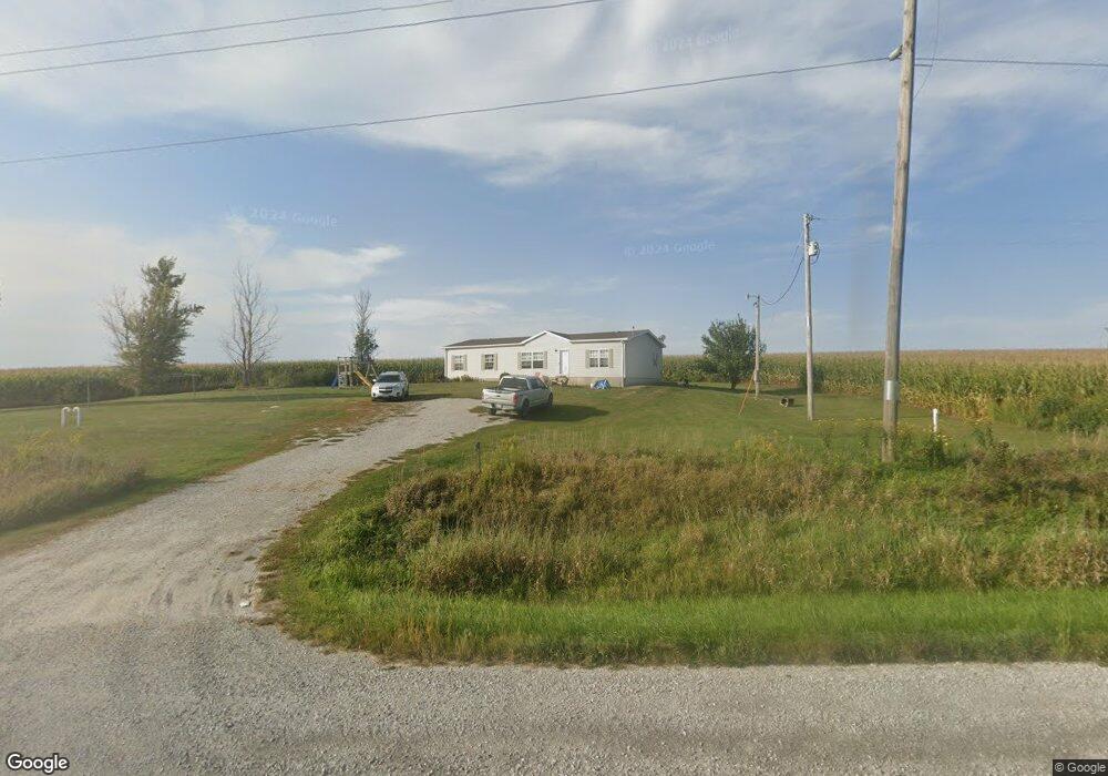
16211 Highway 92 Sigourney, IA 52591
Estimated Value: $104,000 - $205,000
3
Beds
2
Baths
1,539
Sq Ft
$104/Sq Ft
Est. Value
About This Home
This home is located at 16211 Highway 92, Sigourney, IA 52591 and is currently estimated at $160,399, approximately $104 per square foot. 16211 Highway 92 is a home located in Keokuk County with nearby schools including Sigourney Elementary School and Sigourney Junior/Senior High School.
Create a Home Valuation Report for This Property
The Home Valuation Report is an in-depth analysis detailing your home's value as well as a comparison with similar homes in the area
Home Values in the Area
Average Home Value in this Area
Tax History Compared to Growth
Tax History
| Year | Tax Paid | Tax Assessment Tax Assessment Total Assessment is a certain percentage of the fair market value that is determined by local assessors to be the total taxable value of land and additions on the property. | Land | Improvement |
|---|---|---|---|---|
| 2025 | $1,416 | $143,780 | $20,930 | $122,850 |
| 2024 | $1,416 | $128,020 | $16,740 | $111,280 |
| 2023 | $1,384 | $128,020 | $16,740 | $111,280 |
| 2022 | $1,272 | $100,100 | $16,740 | $83,360 |
| 2021 | $1,272 | $100,100 | $16,740 | $83,360 |
| 2020 | $1,192 | $91,860 | $13,950 | $77,910 |
| 2019 | $1,216 | $91,860 | $0 | $0 |
| 2018 | $1,164 | $88,960 | $0 | $0 |
| 2017 | $1,164 | $94,540 | $0 | $0 |
| 2016 | $1,326 | $94,540 | $0 | $0 |
| 2015 | $1,326 | $94,540 | $0 | $0 |
| 2014 | $1,370 | $94,540 | $0 | $0 |
Source: Public Records
Map
Nearby Homes
- 20177 173rd Ave
- 19773 Iowa 21
- TBD Iowa 21
- 502 W 3rd St
- 19980 173rd Ave
- Tbd Highway 21
- 18542 173rd Ave
- 19773 Highway 21
- 1007 W Spring St
- 321 Keller St
- 603 W Pleasant Valley St
- 202 N West St
- 309 W Walnut St
- 220 W Washington St
- 118 W Hickory St
- 105 1/2 W Washington St
- 415 S Main St
- 314 N Jefferson St
- 908 S Main St
- 215 E Elm St