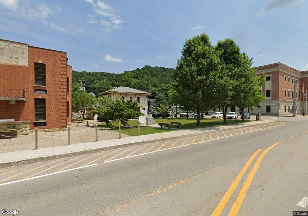
1622 Highway 2004 Mc Kee, KY 40447
Estimated Value: $52,000 - $173,000
2
Beds
1
Bath
864
Sq Ft
$132/Sq Ft
Est. Value
About This Home
This home is located at 1622 Highway 2004, Mc Kee, KY 40447 and is currently estimated at $114,034, approximately $131 per square foot. 1622 Highway 2004 is a home with nearby schools including Jackson County High School.
Ownership History
Date
Name
Owned For
Owner Type
Purchase Details
Closed on
Aug 25, 2023
Sold by
Isaacs David Keith
Bought by
Young Megan and Young Preston
Current Estimated Value
Purchase Details
Closed on
Aug 14, 2023
Sold by
Young Preston G and Young Megan
Bought by
Baker Marsha
Purchase Details
Closed on
Mar 29, 2022
Sold by
Duwayne Cruse Bobby and Duwayne Carlena
Bought by
Isaacs David
Purchase Details
Closed on
Jun 2, 2019
Sold by
Lester Isaacs and Lester Lois
Bought by
Toler Mary
Purchase Details
Closed on
Dec 1, 2007
Bought by
Isaacs Lester and Isaacs Lois
Create a Home Valuation Report for This Property
The Home Valuation Report is an in-depth analysis detailing your home's value as well as a comparison with similar homes in the area
Home Values in the Area
Average Home Value in this Area
Purchase History
| Date | Buyer | Sale Price | Title Company |
|---|---|---|---|
| Young Megan | $179,000 | Clear Title | |
| Baker Marsha | $75,000 | None Listed On Document | |
| Baker Marsha | $75,000 | None Listed On Document | |
| Isaacs David | $45,000 | Law Blevins | |
| Isaacs David | $45,000 | Law Blevins | |
| Toler Mary | -- | Attorney Only | |
| Isaacs Lester | -- | -- |
Source: Public Records
Tax History Compared to Growth
Tax History
| Year | Tax Paid | Tax Assessment Tax Assessment Total Assessment is a certain percentage of the fair market value that is determined by local assessors to be the total taxable value of land and additions on the property. | Land | Improvement |
|---|---|---|---|---|
| 2024 | $890 | $76,500 | $0 | $0 |
| 2023 | $904 | $76,500 | $0 | $0 |
| 2022 | $903 | $76,500 | $0 | $0 |
| 2021 | $917 | $76,500 | $0 | $0 |
| 2020 | $914 | $76,500 | $0 | $0 |
| 2019 | $918 | $76,500 | $0 | $0 |
| 2018 | $905 | $76,500 | $0 | $0 |
| 2017 | $897 | $76,500 | $0 | $0 |
| 2011 | -- | $32,500 | $0 | $0 |
Source: Public Records
Map
Nearby Homes
- 242 Lodge Hall Rd
- 304 Lodge Hall Rd
- 815 Highway 3446
- 705 Upper Dry Fork Rd
- 10002 U S 421
- 101 Steele Ln
- 10007 U S 421
- 6024 U S 421
- 604 U S 421
- 0 Morrill-Kerby Knob Rd
- 1850 Upper Dry Fork Rd
- 0000 Highway 1955
- 2255 S Tree Tower Rd
- 11 Congleton Hollow Rd
- 439 Congleton Hollow Rd
- 397 Perry Ln
- 888 Wilder Ridge Rd
- 9999 Highway 2004
- 0 Nellie Baker Rd
- 3034 N 421
- 1708 Highway 2004
- 2043 Highway 2004
- 2096 Highway 2004
- 2202 Highway 2004
- 1577 Ky Highway 2004
- 132 Cedar Tree Rd
- 1521 Highway 2004
- 1839 Highway 2004
- 1224 Highway 2004
- 1225 Highway 2004
- 1322 Highway 2004
- 1737 Highway 2004
- 517 Azbill Rd
- 543 Azbill Rd
- 618 Azbill Rd
- 12 Cook Cemetery Rd
- 1939 Highway 2004
- 2005 Highway 2004
- 1986 Highway 2004
- 421 Williams Rd
