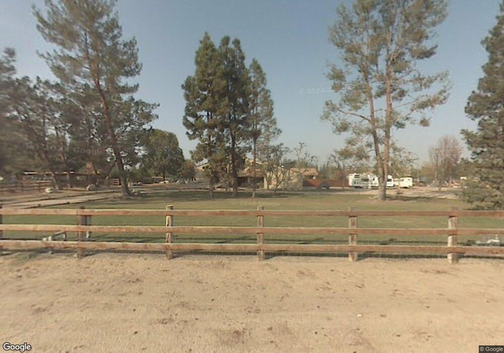
16222 Stephenie St Bakersfield, CA 93314
Estimated Value: $755,000 - $1,003,000
5
Beds
4
Baths
2,650
Sq Ft
$343/Sq Ft
Est. Value
About This Home
This home is located at 16222 Stephenie St, Bakersfield, CA 93314 and is currently estimated at $908,747, approximately $342 per square foot. 16222 Stephenie St is a home located in Kern County with nearby schools including Rio Bravo-Greeley Elementary School, Rio Bravo Elementary School, and Liberty High School.
Ownership History
Date
Name
Owned For
Owner Type
Purchase Details
Closed on
Mar 14, 2022
Sold by
Nixon David A and Nixon Erin D
Bought by
D & E Nixon Family Trust
Current Estimated Value
Purchase Details
Closed on
Feb 2, 1998
Sold by
Critser Darla J
Bought by
Nixon David A and Nixon Erin D
Home Financials for this Owner
Home Financials are based on the most recent Mortgage that was taken out on this home.
Original Mortgage
$160,000
Interest Rate
6.97%
Create a Home Valuation Report for This Property
The Home Valuation Report is an in-depth analysis detailing your home's value as well as a comparison with similar homes in the area
Home Values in the Area
Average Home Value in this Area
Purchase History
| Date | Buyer | Sale Price | Title Company |
|---|---|---|---|
| D & E Nixon Family Trust | -- | Denison Marc E | |
| Nixon David A | $200,000 | American Title Co |
Source: Public Records
Mortgage History
| Date | Status | Borrower | Loan Amount |
|---|---|---|---|
| Previous Owner | Nixon David A | $160,000 |
Source: Public Records
Tax History Compared to Growth
Tax History
| Year | Tax Paid | Tax Assessment Tax Assessment Total Assessment is a certain percentage of the fair market value that is determined by local assessors to be the total taxable value of land and additions on the property. | Land | Improvement |
|---|---|---|---|---|
| 2025 | $4,638 | $342,830 | $95,790 | $247,040 |
| 2024 | $4,543 | $336,109 | $93,912 | $242,197 |
| 2023 | $4,543 | $329,520 | $92,071 | $237,449 |
| 2022 | $4,539 | $323,060 | $90,266 | $232,794 |
| 2021 | $4,413 | $316,727 | $88,497 | $228,230 |
| 2020 | $4,413 | $313,481 | $87,590 | $225,891 |
| 2019 | $4,162 | $313,481 | $87,590 | $225,891 |
| 2018 | $3,992 | $301,311 | $84,190 | $217,121 |
| 2017 | $3,930 | $295,404 | $82,540 | $212,864 |
| 2016 | $3,681 | $289,613 | $80,922 | $208,691 |
| 2015 | $3,552 | $285,264 | $79,707 | $205,557 |
| 2014 | $3,490 | $279,677 | $78,146 | $201,531 |
Source: Public Records
Map
Nearby Homes
- 15626 Sammie Ave
- 15803 Screaming Eagle Ave
- 15733 Joseph Phelps Ave
- 15708 Joseph Phelps Ave
- 2539 Marva Marie Ct
- 1933 Kellie Marie St
- 16725 Weatherly Ct
- 16719 Keystone Place
- 16711 Keystone Place
- 16451 Barton Ln
- 15918 Clos du Val Ave
- 15321 Lake Berryessa Ct
- 8317 Littleton St
- 16716 Brookview Ct
- 3128 Cavalcade Way
- 16741 Pinecrest Ct
- 15427 Chateau Montelena Dr
- 16617 Stone Mill Ct
- 17343 Havenridge Dr
- 15357 Chateau Montelena Dr
- 16233 Clarisse St
- 16120 Stephenie St
- 16348 Stephenie St
- 16347 Stephenie St
- 16147 Clarisse St
- 16233 Stephenie St
- 16331 Clarisse St
- 2009 Heath Rd
- 16418 Stephenie St
- 2119 Belinda St
- 2111 Belinda St Unit 2
- 2103 Belinda St
- 16232 Palm Ave
- 16025 Clarisse St
- 16415 Stephenie St
- 16415 Clarisse St
- 2009 Belinda St
- 16008 Sammie Ave
- 1941 Heath Rd
- 2001 Belinda St
