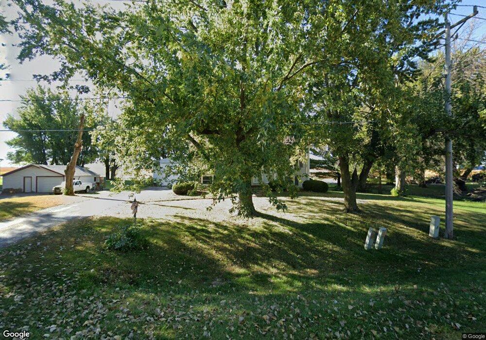
16225 245th St Mason City, IA 50401
Estimated Value: $235,000 - $243,000
4
Beds
2
Baths
1,040
Sq Ft
$231/Sq Ft
Est. Value
About This Home
This home is located at 16225 245th St, Mason City, IA 50401 and is currently estimated at $240,705, approximately $231 per square foot. 16225 245th St is a home with nearby schools including Mason City High School, Newman Catholic Elementary School, and North Iowa Christian School.
Ownership History
Date
Name
Owned For
Owner Type
Purchase Details
Closed on
Nov 22, 2005
Sold by
Tlusty Mark and Tlusty Erica
Bought by
Anderson Roger D and Anderson Debra T
Current Estimated Value
Home Financials for this Owner
Home Financials are based on the most recent Mortgage that was taken out on this home.
Original Mortgage
$120,700
Interest Rate
6.17%
Mortgage Type
Credit Line Revolving
Create a Home Valuation Report for This Property
The Home Valuation Report is an in-depth analysis detailing your home's value as well as a comparison with similar homes in the area
Home Values in the Area
Average Home Value in this Area
Purchase History
| Date | Buyer | Sale Price | Title Company |
|---|---|---|---|
| Anderson Roger D | $142,000 | -- | |
| Anderson Roger D | $142,000 | None Available |
Source: Public Records
Mortgage History
| Date | Status | Borrower | Loan Amount |
|---|---|---|---|
| Closed | Anderson Roger D | $120,700 |
Source: Public Records
Tax History Compared to Growth
Tax History
| Year | Tax Paid | Tax Assessment Tax Assessment Total Assessment is a certain percentage of the fair market value that is determined by local assessors to be the total taxable value of land and additions on the property. | Land | Improvement |
|---|---|---|---|---|
| 2024 | $2,122 | $203,360 | $21,980 | $181,380 |
| 2023 | $2,638 | $203,360 | $21,980 | $181,380 |
| 2022 | $2,518 | $196,040 | $21,980 | $174,060 |
| 2021 | $2,560 | $177,560 | $21,980 | $155,580 |
| 2020 | $2,697 | $170,300 | $21,980 | $148,320 |
| 2019 | $2,268 | $0 | $0 | $0 |
| 2018 | $2,464 | $0 | $0 | $0 |
| 2017 | $2,518 | $0 | $0 | $0 |
| 2016 | $2,390 | $0 | $0 | $0 |
| 2015 | $2,390 | $0 | $0 | $0 |
| 2014 | $2,290 | $0 | $0 | $0 |
| 2013 | $2,062 | $0 | $0 | $0 |
Source: Public Records
Map
Nearby Homes
- 3310 S Delaware Ave
- 3310 Delaware Ave
- 20 34th St SE
- 0 33rd St SE
- 42 33rd St SE
- 0 28th SW
- 428 29th St SW
- 225 20th St SE
- 728 S Monroe Ct
- 82 Sunny Cir
- 1960 S Federal Ave
- 1077 Meadow Lake Dr
- 1973 S Carolina Ave
- 512 17th St SE
- 702 17th St SE Unit 2
- 308 15th St SE
- 689 15th St SE
- 1323 S Pennsylvania Ave
- 1424 S Hampshire Ave
- 706 15th St SE
- 16231 245th St
- 16251 245th St
- 16169 245th St
- 16212 245th St
- 16139 245th St
- 16242 245th St
- 16184 245th St
- 16135 245th St
- 16111 245th St
- 16103 245th St
- 16305 245th St
- 16120 245th St
- 16203 34th St SE
- 16187 34th St SE
- 15505 S Georgia Ave
- 16071 245th St
- 16088 245th St
- 16219 34th St SE
- 16137 34th St SE
- 16239 34th St SE