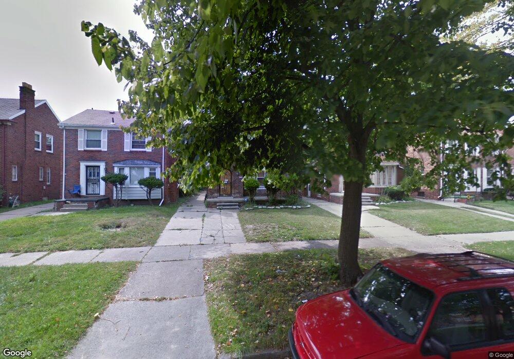
16225 Normandy St Detroit, MI 48221
Martin Park NeighborhoodEstimated Value: $151,992 - $246,000
--
Bed
2
Baths
1,634
Sq Ft
$116/Sq Ft
Est. Value
About This Home
This home is located at 16225 Normandy St, Detroit, MI 48221 and is currently estimated at $188,998, approximately $115 per square foot. 16225 Normandy St is a home located in Wayne County with nearby schools including Paul Robeson Malcolm X Academy, Charles L. Spain Elementary-Middle School, and Edward 'Duke' Ellington Conservatory of Music and Art.
Ownership History
Date
Name
Owned For
Owner Type
Purchase Details
Closed on
Sep 8, 2023
Sold by
Levin Michael
Bought by
Michael And Joanna Levin Living Trust and Levin
Current Estimated Value
Purchase Details
Closed on
Dec 12, 2016
Sold by
Team Champion Property World Llc
Bought by
Levin Michael
Purchase Details
Closed on
Nov 30, 2016
Sold by
Sabree Eric R
Bought by
Team Champion Property World Llc
Purchase Details
Closed on
May 28, 2008
Sold by
Reid Woodrina
Bought by
Hsbc Bank Usa Na and Ace Securities Corp Home Equity Loan Tru
Purchase Details
Closed on
Feb 25, 2005
Sold by
Bush Thomas W and Bush Caren M
Bought by
Reid Woodrina
Create a Home Valuation Report for This Property
The Home Valuation Report is an in-depth analysis detailing your home's value as well as a comparison with similar homes in the area
Home Values in the Area
Average Home Value in this Area
Purchase History
| Date | Buyer | Sale Price | Title Company |
|---|---|---|---|
| Michael And Joanna Levin Living Trust | -- | None Listed On Document | |
| Michael And Joanna Levin Living Trust | -- | None Listed On Document | |
| Levin Michael | -- | None Available | |
| Team Champion Property World Llc | $16,000 | None Available | |
| Hsbc Bank Usa Na | $155,818 | None Available | |
| Reid Woodrina | $160,000 | Blue Water Title |
Source: Public Records
Tax History Compared to Growth
Tax History
| Year | Tax Paid | Tax Assessment Tax Assessment Total Assessment is a certain percentage of the fair market value that is determined by local assessors to be the total taxable value of land and additions on the property. | Land | Improvement |
|---|---|---|---|---|
| 2025 | $973 | $55,700 | $0 | $0 |
| 2024 | $973 | $46,600 | $0 | $0 |
| 2023 | $943 | $36,600 | $0 | $0 |
| 2022 | $679 | $29,200 | $0 | $0 |
| 2021 | $975 | $22,400 | $0 | $0 |
| 2020 | $975 | $19,200 | $0 | $0 |
| 2019 | $962 | $14,000 | $0 | $0 |
| 2018 | $853 | $11,800 | $0 | $0 |
| 2017 | $148 | $7,800 | $0 | $0 |
| 2016 | $1,503 | $23,700 | $0 | $0 |
| 2015 | $1,670 | $16,700 | $0 | $0 |
| 2013 | $2,681 | $26,809 | $0 | $0 |
| 2010 | -- | $893 | $892 | $1 |
Source: Public Records
Map
Nearby Homes
- 16194 Princeton St
- 16182 Princeton St
- 16160 La Salle Ave
- 16514 La Salle Ave
- 16133 Princeton St
- 16239 Baylis St
- 16200 Lawton St
- 16520 Baylis St
- 16139 Inverness St
- 16641 La Salle Ave
- 16258 Parkside St
- 15845 Normandy St
- 16532 Parkside St
- 15836 Normandy St
- 15877 Baylis St
- 15840 Lawton St
- 16533 Parkside St
- 15810 Normandy St
- 16309 Log Cabin St
- 16631 Lawton St
- 16225 Normandy St
- 16222 Linwood St
- 16216 Linwood St
- 16211 Normandy St
- 16230 Linwood St
- 16219 Normandy St Unit Bldg-Unit
- 16233 Normandy St
- 16210 Linwood St
- 16240 Linwood St
- 16241 Normandy St
- 16204 Linwood St
- 16205 Normandy St
- 16246 Linwood St
- 16247 Normandy St
- 16247 Normandy St
- 16255 Normandy St
- 16197 Normandy St
- 16196 Linwood St
- 16254 Linwood St
- 16190 Linwood St