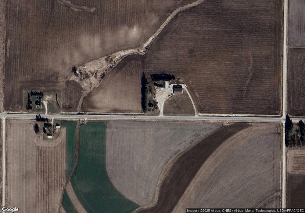
16226 Nature Rd West Union, IA 52175
Estimated Value: $297,000 - $385,263
4
Beds
4
Baths
1,772
Sq Ft
$189/Sq Ft
Est. Value
About This Home
This home is located at 16226 Nature Rd, West Union, IA 52175 and is currently estimated at $334,816, approximately $188 per square foot. 16226 Nature Rd is a home located in Fayette County with nearby schools including Turkey Valley Elementary School and Turkey Valley Junior/Senior High School.
Ownership History
Date
Name
Owned For
Owner Type
Purchase Details
Closed on
Mar 27, 2023
Sold by
Yost Glen D and Yost Lorna J
Bought by
Gesing Rebecca L and Gesing Vaughn
Current Estimated Value
Home Financials for this Owner
Home Financials are based on the most recent Mortgage that was taken out on this home.
Original Mortgage
$130,000
Outstanding Balance
$70,111
Interest Rate
6.32%
Mortgage Type
Credit Line Revolving
Estimated Equity
$264,705
Purchase Details
Closed on
Sep 15, 2022
Sold by
Yost Glen D and Yost Lorna J
Bought by
Yost Levi T and Yost Elizabeth A
Home Financials for this Owner
Home Financials are based on the most recent Mortgage that was taken out on this home.
Original Mortgage
$341,200
Interest Rate
4.26%
Mortgage Type
New Conventional
Purchase Details
Closed on
Apr 19, 2008
Sold by
Dietzenbach Myrle J and Dietzenbach Kaye J
Bought by
Yost Glen D and Yost Lorna J
Create a Home Valuation Report for This Property
The Home Valuation Report is an in-depth analysis detailing your home's value as well as a comparison with similar homes in the area
Home Values in the Area
Average Home Value in this Area
Purchase History
| Date | Buyer | Sale Price | Title Company |
|---|---|---|---|
| Gesing Rebecca L | $585,324 | None Listed On Document | |
| Yost Levi T | $341,500 | -- | |
| Yost Glen D | $330,000 | None Available |
Source: Public Records
Mortgage History
| Date | Status | Borrower | Loan Amount |
|---|---|---|---|
| Open | Gesing Rebecca L | $130,000 | |
| Previous Owner | Yost Levi T | $341,200 |
Source: Public Records
Tax History Compared to Growth
Tax History
| Year | Tax Paid | Tax Assessment Tax Assessment Total Assessment is a certain percentage of the fair market value that is determined by local assessors to be the total taxable value of land and additions on the property. | Land | Improvement |
|---|---|---|---|---|
| 2025 | $2,464 | $289,340 | $44,650 | $244,690 |
| 2024 | $2,464 | $257,360 | $44,650 | $212,710 |
| 2023 | $1,438 | $257,360 | $44,650 | $212,710 |
| 2022 | $2,510 | $186,140 | $66,130 | $120,010 |
| 2021 | $2,510 | $192,380 | $72,370 | $120,010 |
| 2020 | $2,176 | $156,390 | $68,010 | $88,380 |
| 2019 | $2,066 | $177,550 | $0 | $0 |
| 2018 | $1,962 | $177,550 | $0 | $0 |
| 2017 | $2,120 | $188,760 | $0 | $0 |
| 2016 | $2,040 | $183,630 | $0 | $0 |
| 2015 | $2,040 | $0 | $0 | $0 |
| 2014 | $1,866 | $0 | $0 | $0 |
Source: Public Records
Map
Nearby Homes
- 14973 Nature Rd
- 115 S Main St
- 28882 Pine St
- 705 Iowa 150
- 701 Northwestern Ave
- 304 Auburn St
- 110 Lilac Ave
- 504 W Bradford St
- TBD Lots 5&6 St
- 107 Union Ridge Dr
- 319 E Burger St
- 110 1st Ave NW
- 108 N 1st St
- 206 W Maple St
- 211 1st Ave NW
- 213 W Main St
- 313 W Elm St
- 111 S Oak St
- 310 W Plum St
- 306 W Plum St