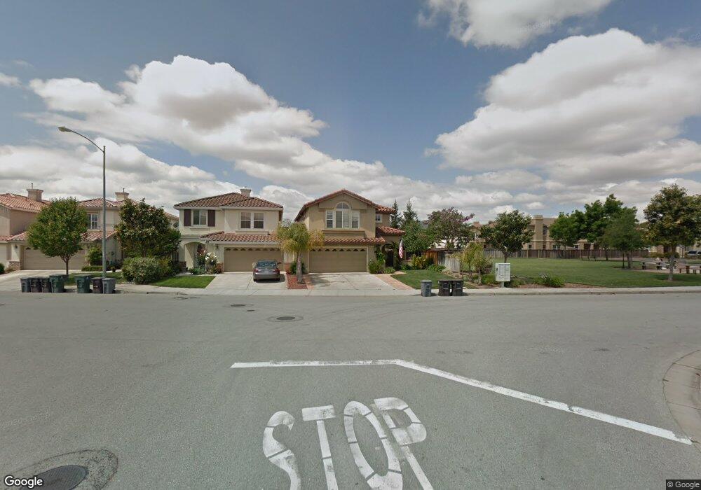
16229 Saint Lawrence Dr Morgan Hill, CA 95037
Estimated Value: $1,213,000 - $1,505,000
3
Beds
3
Baths
2,531
Sq Ft
$544/Sq Ft
Est. Value
About This Home
This home is located at 16229 Saint Lawrence Dr, Morgan Hill, CA 95037 and is currently estimated at $1,375,667, approximately $543 per square foot. 16229 Saint Lawrence Dr is a home located in Santa Clara County with nearby schools including Barrett Elementary School, Martin Murphy Middle School, and Ann Sobrato High School.
Ownership History
Date
Name
Owned For
Owner Type
Purchase Details
Closed on
Feb 22, 1999
Sold by
Warmington C/V Associates Lp
Bought by
Ruffner John J and Fuffner Jovita B
Current Estimated Value
Home Financials for this Owner
Home Financials are based on the most recent Mortgage that was taken out on this home.
Original Mortgage
$307,100
Interest Rate
7.04%
Create a Home Valuation Report for This Property
The Home Valuation Report is an in-depth analysis detailing your home's value as well as a comparison with similar homes in the area
Home Values in the Area
Average Home Value in this Area
Purchase History
| Date | Buyer | Sale Price | Title Company |
|---|---|---|---|
| Ruffner John J | $384,000 | First American Title Guarant |
Source: Public Records
Mortgage History
| Date | Status | Borrower | Loan Amount |
|---|---|---|---|
| Previous Owner | Ruffner John J | $307,100 | |
| Closed | Ruffner John J | $38,300 |
Source: Public Records
Tax History Compared to Growth
Tax History
| Year | Tax Paid | Tax Assessment Tax Assessment Total Assessment is a certain percentage of the fair market value that is determined by local assessors to be the total taxable value of land and additions on the property. | Land | Improvement |
|---|---|---|---|---|
| 2025 | $6,757 | $601,962 | $195,954 | $406,008 |
| 2024 | $6,757 | $590,160 | $192,112 | $398,048 |
| 2023 | $6,669 | $578,590 | $188,346 | $390,244 |
| 2022 | $6,555 | $567,246 | $184,653 | $382,593 |
| 2021 | $6,390 | $556,125 | $181,033 | $375,092 |
| 2020 | $6,235 | $550,423 | $179,177 | $371,246 |
| 2019 | $6,409 | $539,631 | $175,664 | $363,967 |
| 2018 | $6,426 | $529,051 | $172,220 | $356,831 |
| 2017 | $6,449 | $518,679 | $168,844 | $349,835 |
| 2016 | $6,038 | $508,510 | $165,534 | $342,976 |
| 2015 | $5,974 | $500,873 | $163,048 | $337,825 |
| 2014 | $6,053 | $491,063 | $159,855 | $331,208 |
Source: Public Records
Map
Nearby Homes
- 952 Blaise Ln Unit 1001
- 952 Blaise Ln
- 967 Bosco Ln Unit 1505
- 922 Loyola Ln
- 964 Blaise Ln
- 964 Blaise Ln Unit 1004
- 0 Tennant Ave
- 16706 Audrey Dr
- 1335 Old Vine Ln
- 924 More Ln
- 920 More Ln
- 932 More Ln
- 921 More Ln
- 933-14140-4 More Ln
- 395 E Dunne Ave
- 17376 Walnut Grove Dr
- 605 Los Castanos Dr
- 17068 Depot St
- 140 La Crosse Dr
- 17050 Depot St
- 16225 Saint Lawrence Dr
- 16221 Saint Lawrence Dr
- 665 Saint Timothy Ct
- 16217 Saint Lawrence Dr
- 657 Saint Timothy Ct
- 672 Saint Timothy Ct
- 719 Saint Michael Place
- 16220 Saint Lawrence Dr
- 16213 Saint Lawrence Dr
- 649 Saint Timothy Ct
- 16216 Saint Lawrence Dr
- 692 Saint Timothy Place
- 664 Saint Timothy Ct
- 727 Saint Michael Place
- 16209 Saint Lawrence Dr
- 684 Saint Timothy Place
- 641 Saint Timothy Ct
- 16212 Saint Lawrence Dr
- 656 Saint Timothy Ct
- 16240 Saint Lawrence Dr