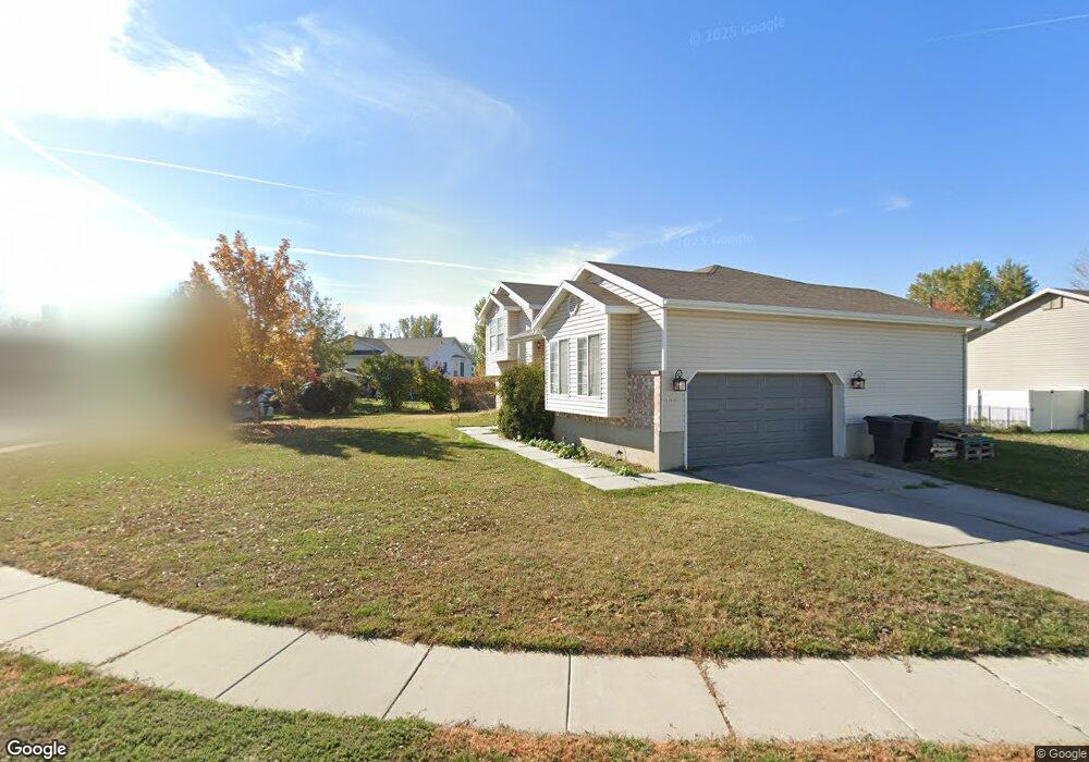
1623 N 2580 W Clearfield, UT 84015
Estimated Value: $426,000 - $467,000
3
Beds
1
Bath
1,299
Sq Ft
$343/Sq Ft
Est. Value
About This Home
This home is located at 1623 N 2580 W, Clearfield, UT 84015 and is currently estimated at $445,778, approximately $343 per square foot. 1623 N 2580 W is a home located in Davis County with nearby schools including West Clinton Elementary School, West Point Junior High School, and Syracuse High School.
Ownership History
Date
Name
Owned For
Owner Type
Purchase Details
Closed on
Mar 12, 2014
Sold by
Bingham John Michael
Bought by
Bingham Rebecca and Figgins Barry Lynn
Current Estimated Value
Purchase Details
Closed on
Aug 27, 1999
Sold by
Mark Higley Construction Lc
Bought by
Bingham John Michael and Bingham Rebecca
Home Financials for this Owner
Home Financials are based on the most recent Mortgage that was taken out on this home.
Original Mortgage
$127,007
Outstanding Balance
$36,241
Interest Rate
7.56%
Mortgage Type
FHA
Estimated Equity
$409,537
Create a Home Valuation Report for This Property
The Home Valuation Report is an in-depth analysis detailing your home's value as well as a comparison with similar homes in the area
Home Values in the Area
Average Home Value in this Area
Purchase History
| Date | Buyer | Sale Price | Title Company |
|---|---|---|---|
| Bingham Rebecca | -- | Founders Title Co Lay | |
| Bingham John Michael | -- | First American Title Co |
Source: Public Records
Mortgage History
| Date | Status | Borrower | Loan Amount |
|---|---|---|---|
| Open | Bingham John Michael | $127,007 |
Source: Public Records
Tax History Compared to Growth
Tax History
| Year | Tax Paid | Tax Assessment Tax Assessment Total Assessment is a certain percentage of the fair market value that is determined by local assessors to be the total taxable value of land and additions on the property. | Land | Improvement |
|---|---|---|---|---|
| 2025 | $2,305 | $221,650 | $92,106 | $129,544 |
| 2024 | $2,225 | $215,050 | $100,577 | $114,473 |
| 2023 | $2,035 | $364,000 | $115,601 | $248,399 |
| 2022 | $2,185 | $216,150 | $69,292 | $146,858 |
| 2021 | $1,996 | $293,000 | $89,157 | $203,843 |
| 2020 | $1,728 | $251,000 | $77,064 | $173,936 |
| 2019 | $1,677 | $238,000 | $87,647 | $150,353 |
| 2018 | $1,664 | $232,000 | $73,720 | $158,280 |
| 2016 | $1,455 | $104,775 | $28,976 | $75,799 |
| 2015 | $1,413 | $96,745 | $28,976 | $67,769 |
| 2014 | $1,294 | $89,964 | $28,976 | $60,988 |
| 2013 | -- | $91,210 | $27,143 | $64,067 |
Source: Public Records
Map
Nearby Homes
- 2642 W 1500 N
- 1509 N 2475 W
- 1449 N 2475 W
- 1458 N 2400 W
- 1251 N 2525 W
- 1958 N 2750 W
- 2259 W 1800 N
- 2371 W 1300 N
- 1694 N 2225 W
- 3941 W 1800 N
- 2148 W 1570 N
- 2921 W 1300 N
- 2617 N 2080 W Unit 176
- Linden Plan at
- Sycamore Plan at
- 2616 N 2125 W Unit 147
- 3168 W 1300 N
- 2162 N 2290 W
- 1665 N 1960 W
- 2434 W 2250 N