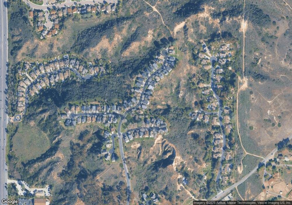
1623 Pacific Ranch Dr Encinitas, CA 92024
Central Encinitas NeighborhoodEstimated Value: $1,819,162 - $2,008,000
4
Beds
3
Baths
2,141
Sq Ft
$901/Sq Ft
Est. Value
About This Home
This home is located at 1623 Pacific Ranch Dr, Encinitas, CA 92024 and is currently estimated at $1,928,291, approximately $900 per square foot. 1623 Pacific Ranch Dr is a home located in San Diego County with nearby schools including Park Dale Lane Elementary, Oak Crest Middle School, and La Costa Canyon High School.
Ownership History
Date
Name
Owned For
Owner Type
Purchase Details
Closed on
Mar 25, 2016
Sold by
Pittsford Keith A and Pittsford Jill
Bought by
The Pittsford Family Trust
Current Estimated Value
Purchase Details
Closed on
Jan 11, 2000
Sold by
Ludwig David S and Ludwig Jean L
Bought by
Pittsford Keith A and Pittsford Jill
Home Financials for this Owner
Home Financials are based on the most recent Mortgage that was taken out on this home.
Original Mortgage
$304,500
Outstanding Balance
$68,955
Interest Rate
3.95%
Estimated Equity
$1,859,336
Purchase Details
Closed on
Jun 14, 1994
Sold by
Johnson Bruce S and Johnson Artene P
Bought by
Ludwig David S and Ludwig Jean L
Home Financials for this Owner
Home Financials are based on the most recent Mortgage that was taken out on this home.
Original Mortgage
$283,500
Interest Rate
8.8%
Purchase Details
Closed on
Feb 1, 1990
Purchase Details
Closed on
Aug 8, 1986
Create a Home Valuation Report for This Property
The Home Valuation Report is an in-depth analysis detailing your home's value as well as a comparison with similar homes in the area
Home Values in the Area
Average Home Value in this Area
Purchase History
| Date | Buyer | Sale Price | Title Company |
|---|---|---|---|
| The Pittsford Family Trust | -- | None Available | |
| Pittsford Keith A | $435,000 | American Title Co | |
| Ludwig David S | $315,000 | Chicago Title Co | |
| -- | $267,000 | -- | |
| -- | $193,000 | -- |
Source: Public Records
Mortgage History
| Date | Status | Borrower | Loan Amount |
|---|---|---|---|
| Open | Pittsford Keith A | $304,500 | |
| Previous Owner | Ludwig David S | $283,500 |
Source: Public Records
Tax History Compared to Growth
Tax History
| Year | Tax Paid | Tax Assessment Tax Assessment Total Assessment is a certain percentage of the fair market value that is determined by local assessors to be the total taxable value of land and additions on the property. | Land | Improvement |
|---|---|---|---|---|
| 2025 | $7,628 | $668,562 | $360,925 | $307,637 |
| 2024 | $7,628 | $655,454 | $353,849 | $301,605 |
| 2023 | $7,430 | $642,603 | $346,911 | $295,692 |
| 2022 | $7,226 | $630,004 | $340,109 | $289,895 |
| 2021 | $7,210 | $617,652 | $333,441 | $284,211 |
| 2020 | $7,137 | $611,319 | $330,022 | $281,297 |
| 2019 | $7,000 | $599,333 | $323,551 | $275,782 |
| 2018 | $6,832 | $587,582 | $317,207 | $270,375 |
| 2017 | $6,694 | $576,062 | $310,988 | $265,074 |
| 2016 | $6,442 | $564,768 | $304,891 | $259,877 |
| 2015 | $6,377 | $556,286 | $300,312 | $255,974 |
| 2014 | $6,231 | $545,390 | $294,430 | $250,960 |
Source: Public Records
Map
Nearby Homes
- 3664 Lorimer Ln
- 1650 S El Camino Real Unit 206
- 1331 Berryman Canyon
- 1341 Berryman Canyon
- 1750 S El Camino Real Unit 102
- 4149 Manchester Ave
- 1259 Berryman Canyon
- 1240 Berryman Canyon
- 1510 Orangeview Dr
- 1510 Orangeview Dr Unit 1&2
- 1982 Fairlee Dr
- 245 Fairlee Ln
- 4036 Stonebridge Ln
- 4397 Camino Privado
- 4540 Los Pinos
- 1248 Avocet Ct
- 1386 Lake Dr
- 310 Oakbranch Dr
- 1716 Kellington Place
- 1153 Crest Dr
- 1633 Pacific Ranch Dr
- 1613 Pacific Ranch Dr
- 1603 Pacific Ranch Dr
- 1643 Pacific Ranch Dr
- 1624 Pacific Ranch Dr
- 1614 Pacific Ranch Dr
- 1573 Pacific Ranch Dr
- 1604 Pacific Ranch Dr
- 1634 Pacific Ranch Dr
- 3740 Brand Crest
- 1570 Pacific Ranch Dr
- 3748 Brand Crest
- 1565 Pacific Ranch Dr
- 1644 Pacific Ranch Dr
- 1562 Pacific Ranch Dr
- 3756 Brand Crest
- 1557 Pacific Ranch Dr
- 1554 Pacific Ranch Dr
- 3764 Brand Crest
- 1546 Pacific Ranch Dr
