1623 W 84th St N Colfax, IA 50054
Estimated Value: $245,000 - $588,000
5
Beds
1
Bath
3,388
Sq Ft
$107/Sq Ft
Est. Value
About This Home
This home is located at 1623 W 84th St N, Colfax, IA 50054 and is currently estimated at $363,201, approximately $107 per square foot. 1623 W 84th St N is a home located in Jasper County with nearby schools including Colfax-Mingo Elementary School and Colfax-Mingo High School.
Ownership History
Date
Name
Owned For
Owner Type
Purchase Details
Closed on
Dec 23, 2021
Sold by
Briggs Patty J and Briggs Shawn W
Bought by
Lamrney Paul D and Larnrney Susan R
Current Estimated Value
Home Financials for this Owner
Home Financials are based on the most recent Mortgage that was taken out on this home.
Original Mortgage
$82,000
Interest Rate
9.86%
Mortgage Type
New Conventional
Purchase Details
Closed on
Jan 6, 2021
Sold by
Briggs Patty
Bought by
Briggs Patty and Martin Shawn W
Purchase Details
Closed on
Jun 9, 2017
Sold by
First State Bank Colfax
Bought by
Briggs Russell and Briggs Patty
Create a Home Valuation Report for This Property
The Home Valuation Report is an in-depth analysis detailing your home's value as well as a comparison with similar homes in the area
Home Values in the Area
Average Home Value in this Area
Purchase History
| Date | Buyer | Sale Price | Title Company |
|---|---|---|---|
| Lamrney Paul D | -- | None Listed On Document | |
| Briggs Patty | -- | None Available | |
| Briggs Russell | $50,001 | None Available |
Source: Public Records
Mortgage History
| Date | Status | Borrower | Loan Amount |
|---|---|---|---|
| Closed | Lamrney Paul D | $82,000 |
Source: Public Records
Tax History Compared to Growth
Tax History
| Year | Tax Paid | Tax Assessment Tax Assessment Total Assessment is a certain percentage of the fair market value that is determined by local assessors to be the total taxable value of land and additions on the property. | Land | Improvement |
|---|---|---|---|---|
| 2025 | $1,808 | $170,240 | $76,000 | $94,240 |
| 2024 | $1,808 | $141,250 | $48,400 | $92,850 |
| 2023 | $1,750 | $141,250 | $48,400 | $92,850 |
| 2022 | $1,594 | $118,280 | $48,400 | $69,880 |
| 2021 | $1,460 | $112,000 | $48,400 | $63,600 |
| 2020 | $1,460 | $95,980 | $33,080 | $62,900 |
| 2019 | $1,380 | $84,910 | $0 | $0 |
| 2018 | $1,380 | $134,410 | $0 | $0 |
Source: Public Records
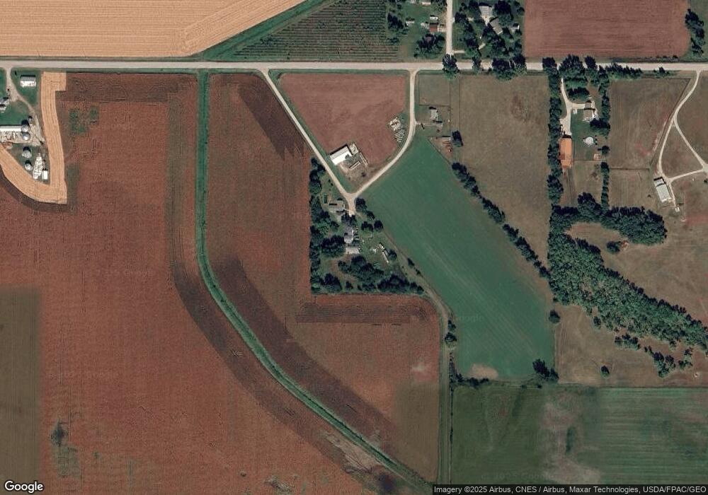
Map
Nearby Homes
- 6911 Highway F48 W
- HWY 117 at Intersection of Fleet Ave
- 655 E Division St
- 300 E Front St
- 20 S Oak Park Ave
- 0000 Lincoln St
- 200 Jefferson St
- 400 S Goodrich St
- 222 E Broadway St
- 226 S Iowa St
- 34 E Broadway St
- 3729 W 56th St N
- 520 S Oak Park Ave
- 108 S Walnut St
- 108 N West St
- 624 S Goodrich St
- 119 W Washington St
- 11213 Orchard Ave
- 223 W Broadway St
- 215 W Spring St