1624 Bombing Range Ct Gilbert, SC 29054
Estimated Value: $792,000 - $1,255,837
3
Beds
3
Baths
2,540
Sq Ft
$402/Sq Ft
Est. Value
About This Home
This home is located at 1624 Bombing Range Ct, Gilbert, SC 29054 and is currently estimated at $1,021,959, approximately $402 per square foot. 1624 Bombing Range Ct is a home located in Lexington County with nearby schools including Centerville Elementary School, Gilbert Middle School, and Gilbert High School.
Ownership History
Date
Name
Owned For
Owner Type
Purchase Details
Closed on
Dec 21, 2020
Sold by
Kowalczyk Hannah E and Kowalczyk Russell
Bought by
Millard Barbara and Hutchins Michael
Current Estimated Value
Purchase Details
Closed on
Jun 7, 2019
Sold by
Wyont Charles Edward and Wyout Karen Crouch
Bought by
Kowalczyk Hannah E and Kowalczyk Russell
Home Financials for this Owner
Home Financials are based on the most recent Mortgage that was taken out on this home.
Original Mortgage
$263,500
Interest Rate
4.1%
Mortgage Type
New Conventional
Create a Home Valuation Report for This Property
The Home Valuation Report is an in-depth analysis detailing your home's value as well as a comparison with similar homes in the area
Home Values in the Area
Average Home Value in this Area
Purchase History
| Date | Buyer | Sale Price | Title Company |
|---|---|---|---|
| Millard Barbara | $460,000 | None Available | |
| Kowalczyk Hannah E | $310,000 | None Available |
Source: Public Records
Mortgage History
| Date | Status | Borrower | Loan Amount |
|---|---|---|---|
| Previous Owner | Kowalczyk Hannah E | $263,500 |
Source: Public Records
Tax History
| Year | Tax Paid | Tax Assessment Tax Assessment Total Assessment is a certain percentage of the fair market value that is determined by local assessors to be the total taxable value of land and additions on the property. | Land | Improvement |
|---|---|---|---|---|
| 2024 | $4,495 | $32,757 | $18,400 | $14,357 |
| 2023 | $4,469 | $18,400 | $18,400 | $0 |
| 2022 | $2,327 | $18,400 | $18,400 | $0 |
| 2020 | $8,920 | $18,600 | $18,600 | $0 |
| 2019 | $7,968 | $15,600 | $15,600 | $0 |
| 2018 | $7,681 | $15,600 | $15,600 | $0 |
| 2017 | $7,552 | $15,600 | $15,600 | $0 |
| 2016 | $7,318 | $15,600 | $15,600 | $0 |
| 2014 | $8,481 | $19,500 | $19,500 | $0 |
| 2013 | -- | $19,500 | $19,500 | $0 |
Source: Public Records
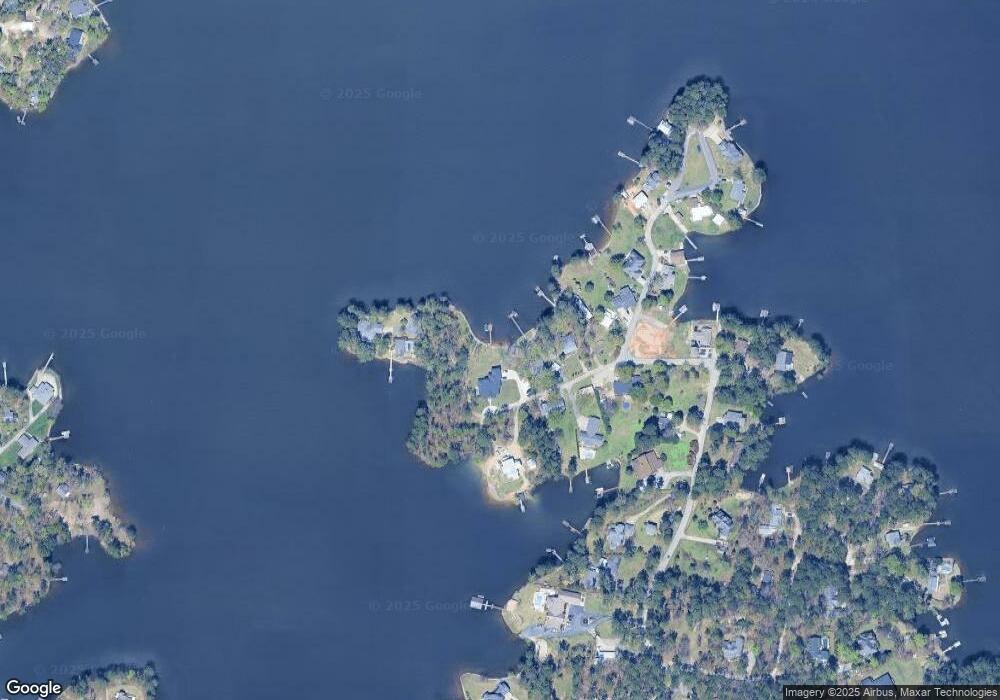
Map
Nearby Homes
- 1459 Bombing Range Rd
- 1233 Shull Island Rd
- 1223 Shull Island Rd
- 1317 Shore Rd
- 1305 Rock Island Rd
- 1148 Shull Island Rd
- 180 Lillian St
- 116 Aloha Ct
- 417 Dot Ct
- 0 Misty Cir Unit 566318
- 1324 Sundown Ct
- 421 & 0 Shore Rd
- 148 Pintail Lake Dr
- 157 Blue Wing Dr
- 449 Lake Estate Dr
- 274 Pintail Lake Dr
- 1 Downing Cir
- 278 Pintail Lake Dr
- 64 Downing Cir
- 532 Radnor Hunt Ct
- 1616 Bombing Range Ct
- 1621 Bombing Range Ct
- 1610 Bombing Range Ct
- 1627 Bombing Range Ct
- 1613 Bombing Range Ct
- 1633 Bombing Range Ct
- 1525 Bombing Range Rd
- 1516 Bombing Range Rd
- 1533 Bombing Range Rd
- 1453 Bombing Range Rd
- 1459 & 1457 Bombing Range Rd
- 1524 Bombing Range Rd
- 1502 Bombing Range Rd
- 1445 Bombing Range Rd
- 1433 Bombing Range Rd
- 1526 Bombing Range Rd
- 1431 Bombing Range Rd
- 1541 Bombing Range Rd
- 1456 Bombing Range Rd
- 1468 Bombing Range Rd
Your Personal Tour Guide
Ask me questions while you tour the home.