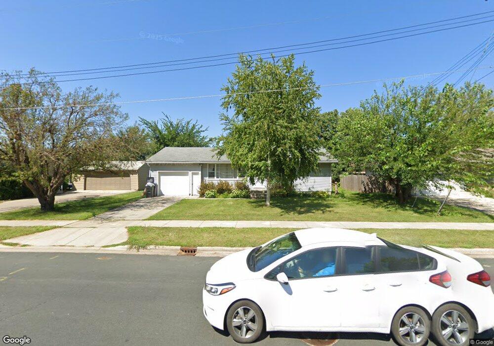
1624 Fair St Mankato, MN 56001
Peacepipe Park NeighborhoodEstimated Value: $239,000 - $292,000
3
Beds
1
Bath
1,300
Sq Ft
$198/Sq Ft
Est. Value
About This Home
This home is located at 1624 Fair St, Mankato, MN 56001 and is currently estimated at $257,802, approximately $198 per square foot. 1624 Fair St is a home located in Blue Earth County with nearby schools including Kennedy Elementary School, Prairie Winds Middle School, and Mankato East Senior High School.
Ownership History
Date
Name
Owned For
Owner Type
Purchase Details
Closed on
Sep 6, 2013
Sold by
Vetter Julie A and Vetter Kevin
Bought by
Vetter Stephanie A
Current Estimated Value
Purchase Details
Closed on
May 22, 2009
Sold by
Wagner Mary Jo and Weller Robert E
Bought by
Vetter Stephanie A and Vetter Julie A
Home Financials for this Owner
Home Financials are based on the most recent Mortgage that was taken out on this home.
Original Mortgage
$118,116
Outstanding Balance
$74,628
Interest Rate
4.85%
Mortgage Type
Purchase Money Mortgage
Estimated Equity
$183,174
Create a Home Valuation Report for This Property
The Home Valuation Report is an in-depth analysis detailing your home's value as well as a comparison with similar homes in the area
Home Values in the Area
Average Home Value in this Area
Purchase History
| Date | Buyer | Sale Price | Title Company |
|---|---|---|---|
| Vetter Stephanie A | -- | -- | |
| Vetter Stephanie A | $120,000 | -- |
Source: Public Records
Mortgage History
| Date | Status | Borrower | Loan Amount |
|---|---|---|---|
| Open | Vetter Stephanie A | $118,116 |
Source: Public Records
Tax History
| Year | Tax Paid | Tax Assessment Tax Assessment Total Assessment is a certain percentage of the fair market value that is determined by local assessors to be the total taxable value of land and additions on the property. | Land | Improvement |
|---|---|---|---|---|
| 2025 | $2,466 | $236,800 | $31,400 | $205,400 |
| 2024 | $2,466 | $233,100 | $31,400 | $201,700 |
| 2023 | $2,844 | $235,800 | $31,400 | $204,400 |
| 2022 | $2,508 | $222,200 | $31,400 | $190,800 |
| 2021 | $2,638 | $182,700 | $31,400 | $151,300 |
| 2020 | $2,562 | $173,200 | $31,400 | $141,800 |
| 2019 | $2,226 | $173,200 | $31,400 | $141,800 |
| 2018 | $2,140 | $160,500 | $31,400 | $129,100 |
| 2017 | $2,218 | $154,700 | $31,700 | $123,000 |
| 2016 | $2,210 | $138,600 | $31,700 | $106,900 |
| 2015 | $21 | $138,600 | $31,700 | $106,900 |
| 2014 | $1,464 | $132,200 | $31,700 | $100,500 |
Source: Public Records
Map
Nearby Homes
- 0 Commodore Dr Unit 429 Deldona Drive
- 121 N Mayfair Dr
- 407 Belle Ave
- 135 S Manitou Dr
- 0 Elwin Addition No 2 Unit 7031911
- 104 Oxford Path
- 0 Madison Ave
- 219 Terrace Dr
- 220 Alta Dr
- 0 Agency Rd
- TBD Agency Rd
- 103 Bardin Dr Unit 104
- 106 Bardin Dr Unit 107
- 108 Hilton Ct
- 108 Laurinda Ln Unit 158
- 102 Terri Ln Unit 139
- 109 Laurinda Ln Unit 93
- 1112 Marsh St
- 110 Terri Ln Unit 135
- 112 Terri Ln Unit 136
- 1628 Fair St
- 1620 Fair St
- 301 Holly Ln
- 1616 Fair St
- 229 N Black Eagle Dr
- 1612 Fair St
- 226 N Black Eagle Dr
- 1611 Fair St
- 225 N Black Eagle Dr
- 1700 Fair St
- 221 N Black Eagle Dr
- 308 Holly Ln
- 222 N Black Eagle Dr
- 225 N Plainview Ave
- 1705 Fair St
- 221 N Plainview Ave
- 218 N Black Eagle Dr
- 217 N Black Eagle Dr
- 1713 Fair St
- 1705 Sunray Ave
Your Personal Tour Guide
Ask me questions while you tour the home.