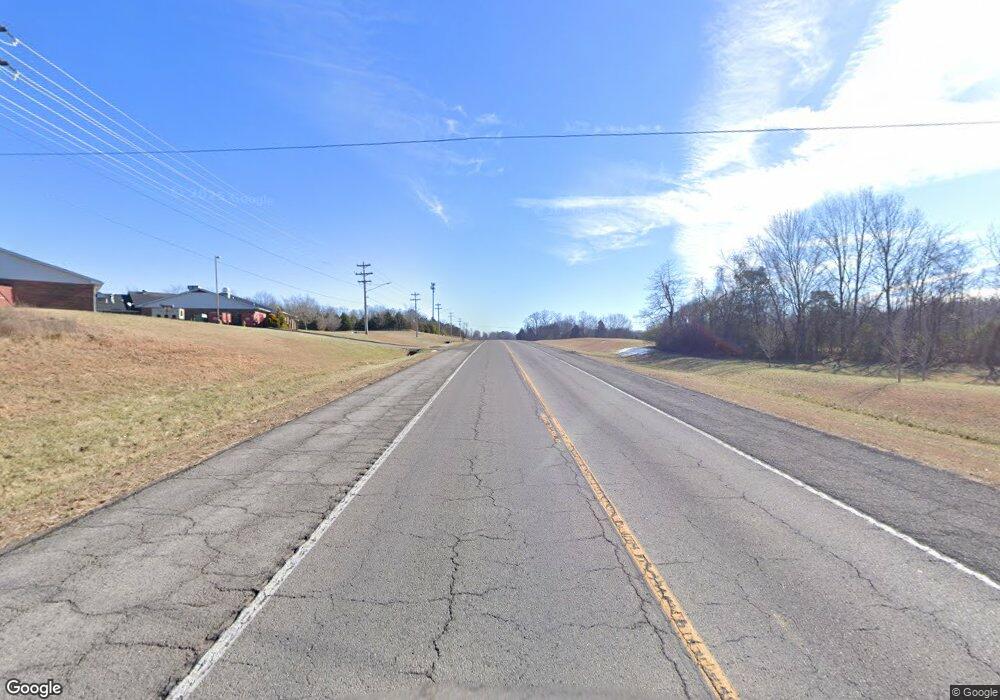
1624 New Highway 52 E Westmoreland, TN 37186
Estimated Value: $513,000 - $639,000
--
Bed
3
Baths
2,346
Sq Ft
$246/Sq Ft
Est. Value
About This Home
This home is located at 1624 New Highway 52 E, Westmoreland, TN 37186 and is currently estimated at $576,000, approximately $245 per square foot. 1624 New Highway 52 E is a home located in Sumner County with nearby schools including Westmoreland Elementary School, Westmoreland Middle School, and Westmoreland High School.
Ownership History
Date
Name
Owned For
Owner Type
Purchase Details
Closed on
Jun 22, 2016
Sold by
Borders Ritchie Angela D
Bought by
Borders Royce Adam
Current Estimated Value
Purchase Details
Closed on
Jan 31, 2013
Sold by
Borders Royce Adam and Borders Angela D
Bought by
Borders Royce Adam and Borders Angela D
Home Financials for this Owner
Home Financials are based on the most recent Mortgage that was taken out on this home.
Original Mortgage
$221,275
Interest Rate
3.37%
Mortgage Type
FHA
Purchase Details
Closed on
Sep 11, 1999
Sold by
Jenkins Walter R
Bought by
Borders Royce Adam
Home Financials for this Owner
Home Financials are based on the most recent Mortgage that was taken out on this home.
Original Mortgage
$15,500
Interest Rate
7.91%
Create a Home Valuation Report for This Property
The Home Valuation Report is an in-depth analysis detailing your home's value as well as a comparison with similar homes in the area
Home Values in the Area
Average Home Value in this Area
Purchase History
| Date | Buyer | Sale Price | Title Company |
|---|---|---|---|
| Borders Royce Adam | -- | Real Estate Title Company | |
| Borders Royce Adam | -- | None Available | |
| Borders Royce Adam | $25,000 | -- |
Source: Public Records
Mortgage History
| Date | Status | Borrower | Loan Amount |
|---|---|---|---|
| Previous Owner | Borders Royce Adam | $221,275 | |
| Previous Owner | Borders Royce Adam | $15,500 |
Source: Public Records
Tax History Compared to Growth
Tax History
| Year | Tax Paid | Tax Assessment Tax Assessment Total Assessment is a certain percentage of the fair market value that is determined by local assessors to be the total taxable value of land and additions on the property. | Land | Improvement |
|---|---|---|---|---|
| 2024 | $1,881 | $132,375 | $32,425 | $99,950 |
| 2023 | $2,597 | $76,750 | $12,775 | $63,975 |
| 2022 | $2,605 | $76,750 | $12,775 | $63,975 |
| 2021 | $2,605 | $76,750 | $12,775 | $63,975 |
| 2020 | $2,605 | $76,750 | $12,775 | $63,975 |
| 2019 | $2,605 | $0 | $0 | $0 |
| 2018 | $2,034 | $0 | $0 | $0 |
| 2017 | $2,034 | $0 | $0 | $0 |
| 2016 | $2,034 | $0 | $0 | $0 |
| 2015 | -- | $0 | $0 | $0 |
| 2014 | -- | $0 | $0 | $0 |
Source: Public Records
Map
Nearby Homes
- 1626 New Highway 52 E
- 10900 Highway 52 W
- 4725 Austin Peay Hwy
- 153 Henry Harris Rd
- 1715 Old Highway 31 E
- 1309 Old Highway 31 E
- 3117 Thompson Ln
- 5912 Dewey Carr Rd
- 1103 Johnny Spears Rd
- 0 Kelly Blvd Unit RTC2946261
- 616 Emerson Ln
- 636 Emerson Ln
- 608 Emerson Ln
- 601 Emerson Ln
- 617 Emerson Ln
- 624 Emerson Ln
- 640 Emerson Ln
- 625 Emerson Ln
- 3037 Tunnel Rd
- 4335 Hawkins Dr
- 4456 Old Highway 52 E
- 1648 New Highway 52 E
- 1633 New Highway 52 E
- 1626 52 Highway New
- 4436 Old Highway 52 E
- 1613 New Highway 52 E
- 1625A New Highway 52 E
- 52 Highway NE
- 1615 New Highway 52 E
- 4430 Old Highway 52 E
- 4430 Old Highway 52 E
- 4455 A Old Highway 52e
- 1607 New Highway 52 E
- 1607 52 Highway New
- 4455A Old Highway 52 E
- 4455 Old Highway 52 E
- 4455 A Old Highway 52 E
- 1642 New Highway 52 E
- 0 New Highway 52
- 1601 New Highway 52 E
