1624 Old Muscatine Rd Tipton, IA 52772
Estimated Value: $272,000 - $467,000
3
Beds
2
Baths
1,296
Sq Ft
$296/Sq Ft
Est. Value
About This Home
This home is located at 1624 Old Muscatine Rd, Tipton, IA 52772 and is currently estimated at $383,018, approximately $295 per square foot. 1624 Old Muscatine Rd is a home located in Cedar County with nearby schools including Tipton Elementary School, Tipton Middle School, and Tipton High School.
Ownership History
Date
Name
Owned For
Owner Type
Purchase Details
Closed on
Mar 1, 2022
Sold by
Seydel and Phillip
Bought by
Seydel Randy Duncan
Current Estimated Value
Home Financials for this Owner
Home Financials are based on the most recent Mortgage that was taken out on this home.
Original Mortgage
$200,000
Outstanding Balance
$185,788
Interest Rate
3.89%
Estimated Equity
$197,230
Purchase Details
Closed on
Sep 29, 2021
Sold by
Lauren P Honemann Revocable Trust
Bought by
Seydel Patricia and Seydel Phillip
Create a Home Valuation Report for This Property
The Home Valuation Report is an in-depth analysis detailing your home's value as well as a comparison with similar homes in the area
Home Values in the Area
Average Home Value in this Area
Purchase History
| Date | Buyer | Sale Price | Title Company |
|---|---|---|---|
| Seydel Randy Duncan | $252,000 | None Listed On Document | |
| Seydel Patricia | -- | None Listed On Document |
Source: Public Records
Mortgage History
| Date | Status | Borrower | Loan Amount |
|---|---|---|---|
| Open | Seydel Randy Duncan | $200,000 |
Source: Public Records
Tax History Compared to Growth
Tax History
| Year | Tax Paid | Tax Assessment Tax Assessment Total Assessment is a certain percentage of the fair market value that is determined by local assessors to be the total taxable value of land and additions on the property. | Land | Improvement |
|---|---|---|---|---|
| 2025 | $3,674 | $288,770 | $10,680 | $278,090 |
| 2024 | $3,674 | $287,840 | $8,770 | $279,070 |
| 2023 | $3,120 | $267,560 | $8,770 | $258,790 |
| 2022 | $2,980 | $231,380 | $6,820 | $224,560 |
| 2021 | $2,820 | $231,380 | $6,820 | $224,560 |
| 2020 | $2,696 | $208,220 | $7,400 | $200,820 |
| 2019 | $2,498 | $196,490 | $0 | $0 |
| 2018 | $2,464 | $196,490 | $0 | $0 |
| 2017 | $2,482 | $193,410 | $0 | $0 |
| 2016 | $2,480 | $193,410 | $0 | $0 |
| 2015 | $2,646 | $197,350 | $0 | $0 |
| 2014 | $2,602 | $197,350 | $0 | $0 |
Source: Public Records
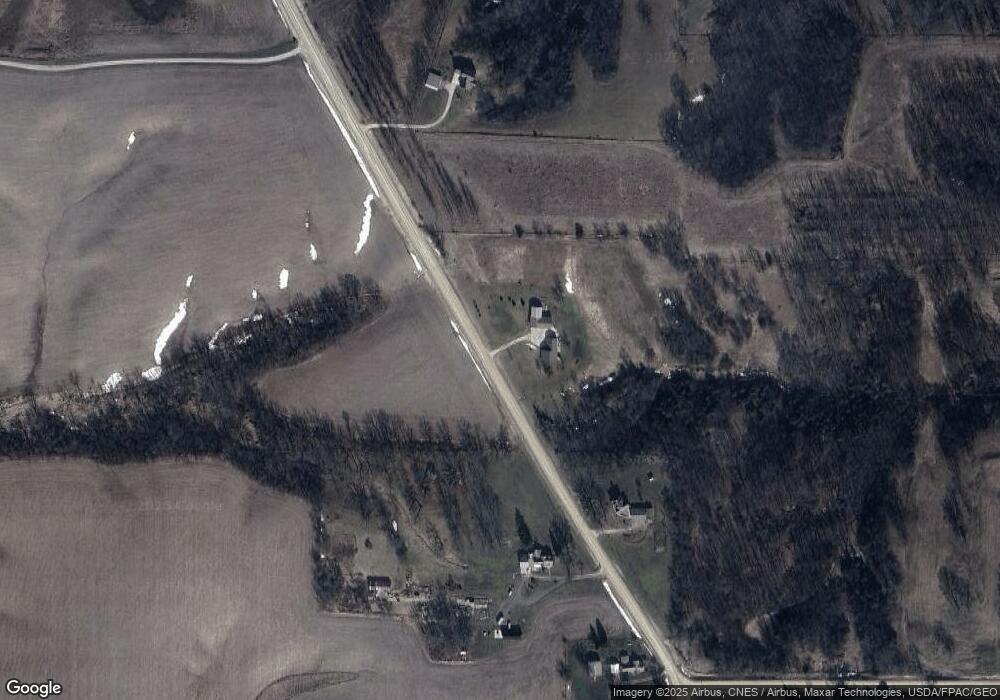
Map
Nearby Homes
- 0 St Unit NOC6332943
- 300th St
- 105 Alliance Dr
- 320 East St
- 2 Lots E 5th St
- 309 E 4th St
- 211 Summit Dr
- 403 Walnut St
- 105 Spruce St
- 14 Acres 306th St
- 14 Acres 306th St
- 201 Sand Trap Cir
- 75 ACRES 306th St
- 206 Lemon St
- 7 Lot Parkview Ln
- 9 Lot Parkview Ln
- 6 Lot Parkview Ln
- 5 Lot Parkview Ln
- 8 Lot Parkview Ln
- 3 Lot Parkview Ln