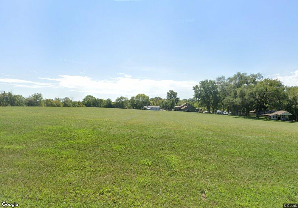
16243 Loring Rd Linwood, KS 66052
Estimated Value: $460,698 - $601,000
5
Beds
3
Baths
2,715
Sq Ft
$198/Sq Ft
Est. Value
About This Home
This home is located at 16243 Loring Rd, Linwood, KS 66052 and is currently estimated at $536,899, approximately $197 per square foot. 16243 Loring Rd is a home located in Leavenworth County with nearby schools including Linwood Elementary School, Basehor-Linwood Middle School, and Basehor-Linwood High School.
Ownership History
Date
Name
Owned For
Owner Type
Purchase Details
Closed on
Jan 31, 2013
Sold by
Dunivan Michael D and Dunivan Kimberly J
Bought by
Walker Robert F and Walker Melissa
Current Estimated Value
Home Financials for this Owner
Home Financials are based on the most recent Mortgage that was taken out on this home.
Original Mortgage
$70,000
Outstanding Balance
$48,956
Interest Rate
3.42%
Mortgage Type
New Conventional
Estimated Equity
$487,943
Create a Home Valuation Report for This Property
The Home Valuation Report is an in-depth analysis detailing your home's value as well as a comparison with similar homes in the area
Home Values in the Area
Average Home Value in this Area
Purchase History
| Date | Buyer | Sale Price | Title Company |
|---|---|---|---|
| Walker Robert F | $87,500 | Kansas Secured Title |
Source: Public Records
Mortgage History
| Date | Status | Borrower | Loan Amount |
|---|---|---|---|
| Open | Walker Robert F | $70,000 |
Source: Public Records
Tax History Compared to Growth
Tax History
| Year | Tax Paid | Tax Assessment Tax Assessment Total Assessment is a certain percentage of the fair market value that is determined by local assessors to be the total taxable value of land and additions on the property. | Land | Improvement |
|---|---|---|---|---|
| 2025 | $4,410 | $39,260 | $8,845 | $30,415 |
| 2024 | $3,940 | $39,241 | $9,009 | $30,232 |
| 2023 | $3,940 | $36,803 | $8,422 | $28,381 |
| 2022 | $3,525 | $31,607 | $7,450 | $24,157 |
| 2021 | $3,065 | $27,540 | $6,065 | $21,475 |
| 2020 | $2,606 | $22,959 | $5,843 | $17,116 |
| 2019 | $2,370 | $20,776 | $5,238 | $15,538 |
| 2018 | $2,147 | $18,847 | $4,049 | $14,798 |
| 2017 | $2,071 | $18,159 | $4,037 | $14,122 |
| 2016 | $1,358 | $12,007 | $3,970 | $8,037 |
| 2015 | $1,297 | $11,515 | $3,217 | $8,298 |
| 2014 | $1,252 | $11,168 | $3,193 | $7,975 |
Source: Public Records
Map
Nearby Homes
- 13525 N 158th St
- 15514 Loring Rd
- 14425 158th St
- 0 174th St
- LOT 7 178th St
- 0 Cantrell & 174th St
- 14587 166th St
- 17580 Cantrell Rd
- 14714 174th St
- 8220 Wyandotte St
- 8572 Valley Spring Dr
- 31714 W 83rd Place
- Parcel 5A SE Stanley Rd
- Parcel 3A SE Stanley Rd
- Parcel 4A SE Stanley Rd
- 8355 Kill Creek Rd
- 32550 Lexington Ave
- 30740 W 83rd St
- 30720 W 83rd St
- 8375 Wyandotte St
- 16361 Loring Rd
- 16341 Loring Rd
- 16459 Loring Rd
- 00000 Lot 3 Loring Rd
- 16519 Loring Rd
- 13012 166th St
- 13068 166th St
- 13088 166th St
- 13048 166th St
- 13108 166th St
- 13159 166th St
- 15877 Loring Rd
- 13259 166th St
- 13028 166th St
- 13085 166th St
- 16524 Woods Rd
- 12989 166th St
- 13025 166th St
- 16227 Kreider Rd
- 12933 166th St
