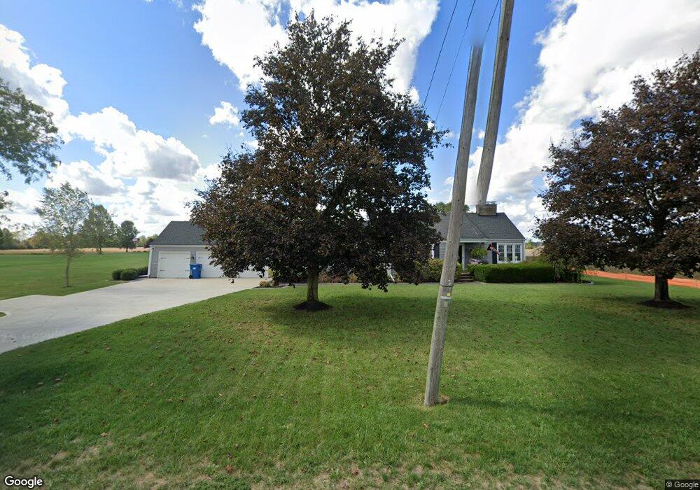
16246 State Route 301 Lagrange, OH 44050
Estimated Value: $246,004 - $273,000
2
Beds
1
Bath
1,348
Sq Ft
$193/Sq Ft
Est. Value
About This Home
This home is located at 16246 State Route 301, Lagrange, OH 44050 and is currently estimated at $259,751, approximately $192 per square foot. 16246 State Route 301 is a home located in Lorain County with nearby schools including Keystone Elementary School, Keystone Middle School, and Keystone High School.
Ownership History
Date
Name
Owned For
Owner Type
Purchase Details
Closed on
Dec 16, 2002
Sold by
Rodger Simon and Ann Mary
Bought by
Simon Thomas A and Simon Bonnie J
Current Estimated Value
Home Financials for this Owner
Home Financials are based on the most recent Mortgage that was taken out on this home.
Original Mortgage
$89,200
Interest Rate
6.01%
Create a Home Valuation Report for This Property
The Home Valuation Report is an in-depth analysis detailing your home's value as well as a comparison with similar homes in the area
Home Values in the Area
Average Home Value in this Area
Purchase History
| Date | Buyer | Sale Price | Title Company |
|---|---|---|---|
| Simon Thomas A | $125,000 | Charleston Title |
Source: Public Records
Mortgage History
| Date | Status | Borrower | Loan Amount |
|---|---|---|---|
| Closed | Simon Thomas A | $89,200 |
Source: Public Records
Tax History Compared to Growth
Tax History
| Year | Tax Paid | Tax Assessment Tax Assessment Total Assessment is a certain percentage of the fair market value that is determined by local assessors to be the total taxable value of land and additions on the property. | Land | Improvement |
|---|---|---|---|---|
| 2024 | $3,563 | $86,846 | $16,128 | $70,718 |
| 2023 | $2,691 | $54,712 | $15,631 | $39,081 |
| 2022 | $2,671 | $54,712 | $15,631 | $39,081 |
| 2021 | $2,671 | $54,712 | $15,631 | $39,081 |
| 2020 | $2,364 | $43,120 | $12,320 | $30,800 |
| 2019 | $2,397 | $43,120 | $12,320 | $30,800 |
| 2018 | $2,342 | $43,120 | $12,320 | $30,800 |
| 2017 | $2,556 | $44,180 | $13,060 | $31,120 |
| 2016 | $2,539 | $44,180 | $13,060 | $31,120 |
| 2015 | $2,535 | $44,180 | $13,060 | $31,120 |
| 2014 | $2,092 | $41,680 | $12,320 | $29,360 |
| 2013 | $2,029 | $41,680 | $12,320 | $29,360 |
Source: Public Records
Map
Nearby Homes
- 128 Harvest Ct
- 756 N Center St
- 40725 Biggs Rd
- 548 William St
- 171 Keywood Blvd
- 516 Appomattox Ct
- 433 N Center St
- 829 Robinson Dr
- 831 Robinson Dr
- 822 Robinson Dr
- 607 Rundle St
- 808 Buckingham Dr
- 630 Rundle St
- 800 Buckingham Dr
- 194 Railroad St
- 0 Dill Ct Unit 5072837
- 110 Railroad St
- 41635 Parsons Rd
- 40175 Banks Rd
- 40185 Banks Rd
- 708 N Center St
- 16206 State Route 301
- 16292 State Route 301
- 720 N Center St
- 100 U s Grant St
- 16156 State Route 301
- 43 Us Grant St
- 728 N Center St
- 16132 State Route 301
- 143 U s Grant St
- 591 Vicksburg Ct
- 612 N Center St
- 16108 State Route 301
- 599 Vicksburg Ct
- 738 N Center St
- 595 Vicksburg Ct
- 0 Vicksburg Ct Unit 36435997
- 0 Vicksburg Ct
- 150152 Harvest Ct
- 598 Vicksburg Ct Unit A1