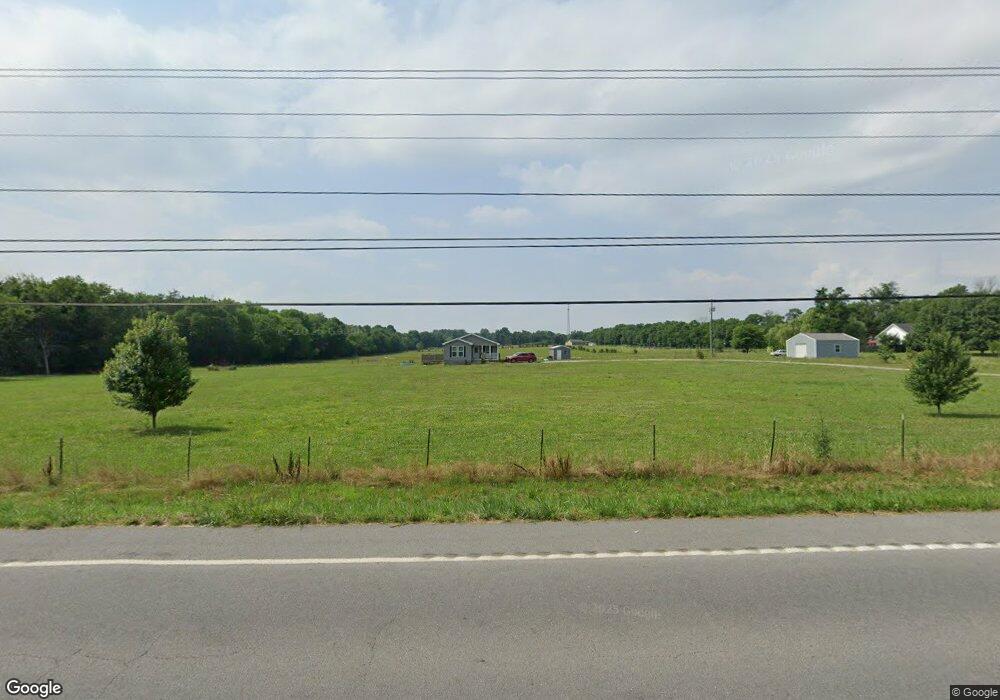
1625 Highway 64 W Shelbyville, TN 37160
Estimated Value: $460,000 - $621,000
3
Beds
2
Baths
1,920
Sq Ft
$280/Sq Ft
Est. Value
About This Home
This home is located at 1625 Highway 64 W, Shelbyville, TN 37160 and is currently estimated at $537,299, approximately $279 per square foot. 1625 Highway 64 W is a home located in Bedford County with nearby schools including Liberty Elementary School.
Ownership History
Date
Name
Owned For
Owner Type
Purchase Details
Closed on
Mar 10, 2023
Sold by
Brown Elizabeth A and Brown Brownie
Bought by
Parrott Amanda Marie and Kerley Jackie Lynn
Current Estimated Value
Home Financials for this Owner
Home Financials are based on the most recent Mortgage that was taken out on this home.
Original Mortgage
$407,357
Interest Rate
6.13%
Mortgage Type
Construction
Purchase Details
Closed on
Mar 9, 2018
Sold by
Clark Robert Abram and Clark Krystal Nichole
Bought by
Brown Elizabeth A and Brown Brownie
Home Financials for this Owner
Home Financials are based on the most recent Mortgage that was taken out on this home.
Original Mortgage
$235,653
Interest Rate
4.32%
Mortgage Type
FHA
Purchase Details
Closed on
Nov 14, 2003
Sold by
Orien Richard and Orien Vita
Bought by
Madeiros J W
Purchase Details
Closed on
Jan 12, 2001
Bought by
O'Brien Richard E and O'Brien Vita M
Create a Home Valuation Report for This Property
The Home Valuation Report is an in-depth analysis detailing your home's value as well as a comparison with similar homes in the area
Home Values in the Area
Average Home Value in this Area
Purchase History
| Date | Buyer | Sale Price | Title Company |
|---|---|---|---|
| Parrott Amanda Marie | $400,000 | Signature Title | |
| Brown Elizabeth A | $240,000 | None Available | |
| Madeiros J W | $75,000 | -- | |
| O'Brien Richard E | $63,500 | -- |
Source: Public Records
Mortgage History
| Date | Status | Borrower | Loan Amount |
|---|---|---|---|
| Closed | Parrott Amanda Marie | $407,357 | |
| Previous Owner | Brown Elizabeth A | $235,653 |
Source: Public Records
Tax History Compared to Growth
Tax History
| Year | Tax Paid | Tax Assessment Tax Assessment Total Assessment is a certain percentage of the fair market value that is determined by local assessors to be the total taxable value of land and additions on the property. | Land | Improvement |
|---|---|---|---|---|
| 2025 | $1,424 | $61,225 | $0 | $0 |
| 2024 | $1,424 | $61,225 | $15,425 | $45,800 |
| 2023 | $1,424 | $61,225 | $15,425 | $45,800 |
| 2022 | $1,424 | $61,225 | $15,425 | $45,800 |
| 2021 | $1,203 | $61,225 | $15,425 | $45,800 |
| 2020 | $1,178 | $61,225 | $15,425 | $45,800 |
| 2019 | $1,178 | $44,275 | $10,850 | $33,425 |
| 2018 | $1,055 | $41,225 | $10,850 | $30,375 |
| 2017 | $929 | $36,300 | $5,925 | $30,375 |
| 2016 | $149 | $5,925 | $0 | $0 |
| 2015 | $149 | $5,925 | $0 | $0 |
| 2014 | $103 | $4,550 | $0 | $0 |
Source: Public Records
Map
Nearby Homes
- 0 Dixon Rd Unit RTC3045417
- 395 Harrison Rd
- 321 Dixon Rd
- 8 Farris Ln
- 0 Knight Campground Rd
- 3 Knight Campground Rd
- 422 Bethlehem Church Rd
- 7 Dixon Rd
- 12 Dixon Rd
- 388 Coble Rd
- 163 Gant Rd
- 332 Coble Rd
- 2028 Highway 64 W
- 143 Coble Rd
- 245 Henslee Rd
- 0 Sims Rd
- 1106 Highway 130 W
- 1261 Highway 130 W
- 1617 Highway 130 W
- 2154 Highway 64 W
- 1625 Highway 64 W
- 1627 Highway 64 W
- 1620 Highway 64 W
- 1614 Highway 64 W
- 895 Knight Campground Rd
- 1651 Highway 64 W
- 1651 Tennessee 64
- 1550 Highway 64 W
- 876 Knight Campground Rd
- 168 Uselton Rd
- 1702 Highway 64 W
- 200 Uselton Rd
- 105 Uselton Rd
- 210 Uselton Rd
- 1701 Highway 64 W
- 1701 Highway 64 W
- 169 Uselton Rd
- 199 Uselton Rd
- 151 Uselton Rd
- 141 Uselton Rd