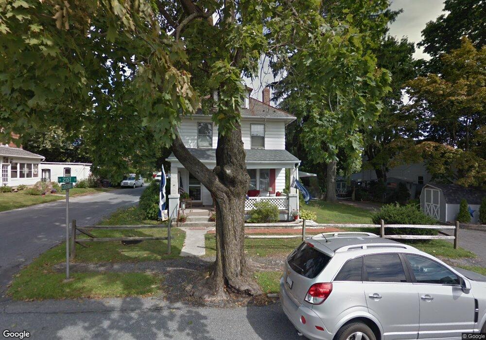
1625 N 21st St Allentown, PA 18104
South Whitehall Township NeighborhoodEstimated Value: $290,000 - $332,000
3
Beds
1
Bath
1,316
Sq Ft
$233/Sq Ft
Est. Value
About This Home
This home is located at 1625 N 21st St, Allentown, PA 18104 and is currently estimated at $307,048, approximately $233 per square foot. 1625 N 21st St is a home located in Lehigh County with nearby schools including Tussing Elementary School, Kratzer Elementary School, and Cavelero Mid High School.
Create a Home Valuation Report for This Property
The Home Valuation Report is an in-depth analysis detailing your home's value as well as a comparison with similar homes in the area
Home Values in the Area
Average Home Value in this Area
Tax History Compared to Growth
Tax History
| Year | Tax Paid | Tax Assessment Tax Assessment Total Assessment is a certain percentage of the fair market value that is determined by local assessors to be the total taxable value of land and additions on the property. | Land | Improvement |
|---|---|---|---|---|
| 2025 | $3,337 | $137,200 | $32,000 | $105,200 |
| 2024 | $3,224 | $137,200 | $32,000 | $105,200 |
| 2023 | $3,156 | $137,200 | $32,000 | $105,200 |
| 2022 | $3,143 | $137,200 | $105,200 | $32,000 |
| 2021 | $3,143 | $137,200 | $32,000 | $105,200 |
| 2020 | $3,143 | $137,200 | $32,000 | $105,200 |
| 2019 | $2,261 | $137,200 | $32,000 | $105,200 |
| 2018 | $2,983 | $137,200 | $32,000 | $105,200 |
| 2017 | $2,880 | $137,200 | $32,000 | $105,200 |
| 2016 | -- | $137,200 | $32,000 | $105,200 |
| 2015 | -- | $137,200 | $32,000 | $105,200 |
| 2014 | -- | $137,200 | $32,000 | $105,200 |
Source: Public Records
Map
Nearby Homes
- 1739 N 21st St
- 1818 W Jane St
- 2210 Grove St
- 1718 W Stanley St Unit 1722
- 1246 N 22nd St
- 1243 N 19th St
- 2020 Whitehall Ave
- 1590 Abigail Ln Unit LOT 59
- 1573 Abigail Ln
- 1135 N 23rd St
- 2014 W Highland St
- 1221 N 25th St Unit 1225
- 2328 W Congress St
- 1523 N 27th St
- 1017 N 21st St
- 1613 W Congress St Unit 1619
- 2101 Van Buren Dr
- 2150 W Livingston St
- 2403 W Tremont St
- 1244 N Ott St
- 2045 Huckleberry Rd
- 1629 N 21st St
- 2039 Huckleberry Rd
- 2038 Custer St
- 1631 N 21st St
- 2033 Huckleberry Rd
- 2138 Huckleberry Rd
- 2034 Custer St
- 2036 Harold Ave
- 2037 Custer St Unit Rear Apartment
- 2037 Custer St Unit Rear Apt
- 2037 Custer St
- 2037 Custer St Unit Rear
- 1637 N 21st St
- 2132 Huckleberry Rd
- 2033 Custer St
- 2126 Huckleberry Rd
- 2140 Huckleberry Rd
- 2145 Huckleberry Rd
- 2025 Huckleberry Rd