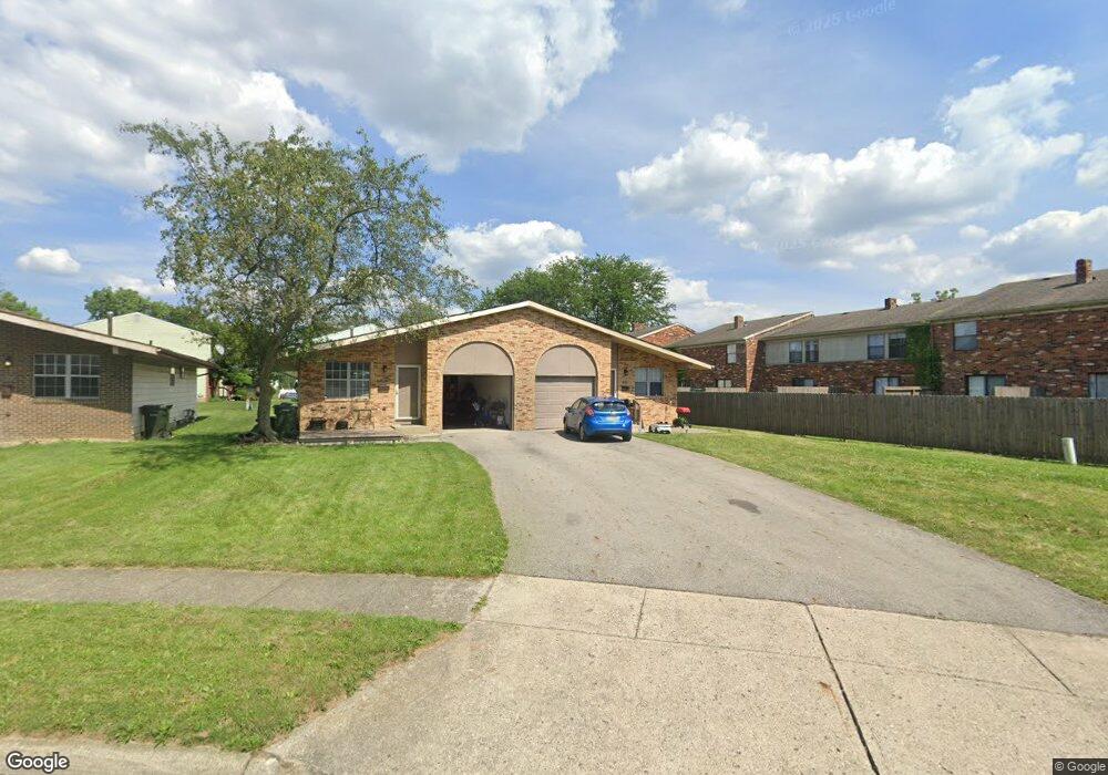
1625 Nestling Dr Unit 627 Columbus, OH 43229
Forest Park East NeighborhoodEstimated Value: $282,826 - $329,000
4
Beds
2
Baths
1,732
Sq Ft
$173/Sq Ft
Est. Value
About This Home
This home is located at 1625 Nestling Dr Unit 627, Columbus, OH 43229 and is currently estimated at $300,457, approximately $173 per square foot. 1625 Nestling Dr Unit 627 is a home located in Franklin County with nearby schools including Parkmoor Elementary School, Woodward Park Middle School, and Northland High School.
Ownership History
Date
Name
Owned For
Owner Type
Purchase Details
Closed on
Jan 5, 1990
Bought by
Furlong Robert W
Current Estimated Value
Create a Home Valuation Report for This Property
The Home Valuation Report is an in-depth analysis detailing your home's value as well as a comparison with similar homes in the area
Home Values in the Area
Average Home Value in this Area
Purchase History
| Date | Buyer | Sale Price | Title Company |
|---|---|---|---|
| Furlong Robert W | $87,000 | -- |
Source: Public Records
Tax History Compared to Growth
Tax History
| Year | Tax Paid | Tax Assessment Tax Assessment Total Assessment is a certain percentage of the fair market value that is determined by local assessors to be the total taxable value of land and additions on the property. | Land | Improvement |
|---|---|---|---|---|
| 2024 | $3,667 | $80,020 | $21,180 | $58,840 |
| 2023 | $3,621 | $80,010 | $21,175 | $58,835 |
| 2022 | $2,351 | $44,240 | $11,830 | $32,410 |
| 2021 | $2,355 | $44,240 | $11,830 | $32,410 |
| 2020 | $2,359 | $44,240 | $11,830 | $32,410 |
| 2019 | $2,201 | $35,390 | $9,450 | $25,940 |
| 2018 | $2,278 | $35,390 | $9,450 | $25,940 |
| 2017 | $2,396 | $35,390 | $9,450 | $25,940 |
| 2016 | $2,592 | $38,150 | $8,890 | $29,260 |
| 2015 | $2,360 | $38,150 | $8,890 | $29,260 |
| 2014 | $2,365 | $38,150 | $8,890 | $29,260 |
| 2013 | $1,228 | $40,145 | $9,345 | $30,800 |
Source: Public Records
Map
Nearby Homes
- 4866 Woodthrush Way
- 4923 Karl Rd Unit 4925
- 5022 Sienna Ln
- 5004 Julie Place
- 4816 Bourke Rd
- 4800 Bourke Rd
- 4761 Colonel Perry Dr
- 4815 Bourke Rd
- 1414 Alvina Dr
- 1704 Riverbirch Dr
- 1744 Riverbirch Dr
- 1385 Thurell Rd
- 5124 Northcliff Loop W
- 4714 Ascot Dr
- 2033 Brittany Rd
- 4840 Almont Dr
- 4904 Almont Dr
- 4849 Heatherton Dr
- 4983 Almont Dr
- 2134 Trent Rd
- 1637 Nestling Dr Unit 639
- 1637 Nestling Dr Unit 2
- 4867 Woodthrush Way
- 4869 Woodthrush Way
- 4865 Woodthrush Way
- 4871 Woodthrush Way
- 1649 Nestling Dr
- 1620 Nestling Dr Unit 622
- 1620 Nestling Dr Unit 2
- 4863 Woodthrush Way
- 4873 Woodthrush Way
- 1657 Nestling Dr
- 4861 Woodthrush Way
- 4875 Woodthrush Way
- 1628 Nestling Dr
- 1665 Nestling Dr
- 1673 Nestling Dr
- 1634 Nestling Dr
- 1604-1606 Nestling Dr
- 1604 Nestling Dr Unit 606