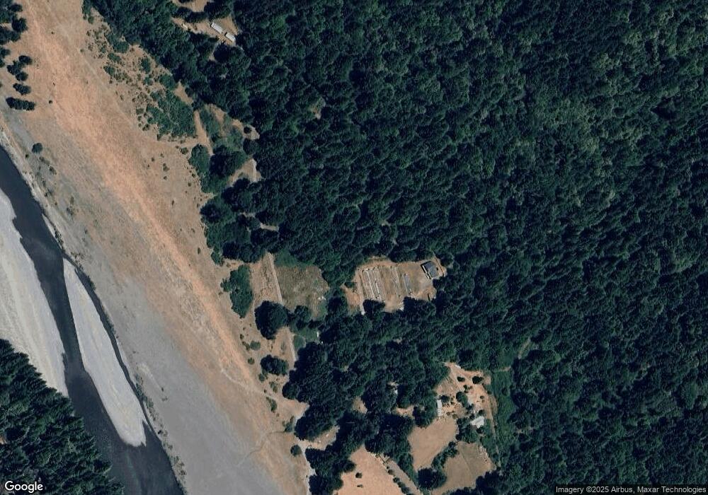
1625 W Mccann Rd Redcrest, CA 95569
Estimated Value: $400,000 - $435,000
--
Bed
--
Bath
1,734
Sq Ft
$240/Sq Ft
Est. Value
About This Home
This home is located at 1625 W Mccann Rd, Redcrest, CA 95569 and is currently estimated at $415,505, approximately $239 per square foot. 1625 W Mccann Rd is a home located in Humboldt County.
Ownership History
Date
Name
Owned For
Owner Type
Purchase Details
Closed on
Apr 20, 2020
Sold by
Griego Patrik M
Bought by
Greenleaf Frances K
Current Estimated Value
Purchase Details
Closed on
Apr 15, 2020
Sold by
Griego Patrik M
Bought by
Greenleaf Frances K
Purchase Details
Closed on
Nov 23, 2015
Sold by
Green Willie A and Green Sandra K
Bought by
Griego Patrik M and Greenleaf Frances K
Home Financials for this Owner
Home Financials are based on the most recent Mortgage that was taken out on this home.
Original Mortgage
$70,000
Interest Rate
3.71%
Mortgage Type
Seller Take Back
Purchase Details
Closed on
Jan 20, 2005
Sold by
Green Willie A and Green Sandra K
Bought by
Griego Patrik M and Greenleaf Frances K
Home Financials for this Owner
Home Financials are based on the most recent Mortgage that was taken out on this home.
Original Mortgage
$175,000
Interest Rate
5.74%
Mortgage Type
Seller Take Back
Create a Home Valuation Report for This Property
The Home Valuation Report is an in-depth analysis detailing your home's value as well as a comparison with similar homes in the area
Home Values in the Area
Average Home Value in this Area
Purchase History
| Date | Buyer | Sale Price | Title Company |
|---|---|---|---|
| Greenleaf Frances K | -- | None Listed On Document | |
| Greenleaf Frances K | -- | None Listed On Document | |
| Griego Patrik M | $150,000 | Fidelity Natl Title Co Of Ca | |
| Griego Patrik M | $225,000 | Fidelity National Title Co |
Source: Public Records
Mortgage History
| Date | Status | Borrower | Loan Amount |
|---|---|---|---|
| Previous Owner | Griego Patrik M | $70,000 | |
| Previous Owner | Griego Patrik M | $175,000 |
Source: Public Records
Tax History Compared to Growth
Tax History
| Year | Tax Paid | Tax Assessment Tax Assessment Total Assessment is a certain percentage of the fair market value that is determined by local assessors to be the total taxable value of land and additions on the property. | Land | Improvement |
|---|---|---|---|---|
| 2025 | $4,325 | $400,406 | $178,810 | $221,596 |
| 2024 | $4,325 | $392,555 | $175,304 | $217,251 |
| 2023 | $4,343 | $384,859 | $171,867 | $212,992 |
| 2022 | $4,275 | $377,314 | $168,498 | $208,816 |
| 2021 | $4,113 | $369,917 | $165,195 | $204,722 |
| 2020 | $4,138 | $366,125 | $163,502 | $202,623 |
| 2019 | $4,034 | $358,947 | $160,297 | $198,650 |
| 2018 | $3,964 | $351,909 | $157,154 | $194,755 |
| 2017 | $3,889 | $345,010 | $154,073 | $190,937 |
| 2016 | $3,866 | $338,246 | $151,052 | $187,194 |
| 2015 | $4,267 | $370,839 | $174,444 | $196,395 |
| 2014 | $4,012 | $363,575 | $171,027 | $192,548 |
Source: Public Records
Map
Nearby Homes
- 9819 Dyerville Loop Rd
- 10167 Dyerville Loop Rd
- 145 Orchard Way
- 265 Orchard Way
- 207 Myers Ave
- 36111 Alderpoint Rd
- 69 Spring St
- 77 Sewell Dr
- 56 Spring Rd
- 400 Carol Ln
- 186 Logan Rd
- 35082 Alderpoint Rd
- 33 Maple Dr
- 00 Dyerville Loop Rd
- 90 Oak St
- 47 Forest Grove Ln
- 676 Spring Canyon Ln
- 3802 Thomas Rd
- 00 Sunset Ridge Rd
- 40 +/- Acres Sunset Ridge Rd
