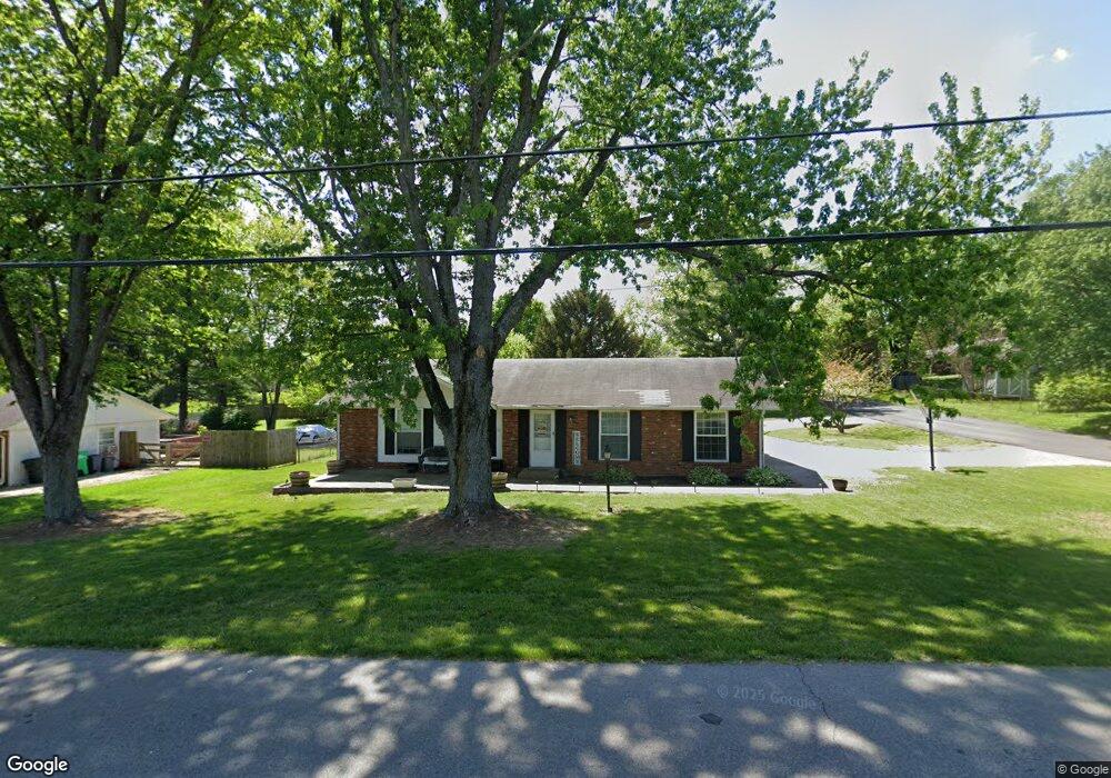
1626 Canal Ln Georgetown, IN 47122
Estimated Value: $196,984 - $267,000
3
Beds
1
Bath
1,200
Sq Ft
$186/Sq Ft
Est. Value
About This Home
This home is located at 1626 Canal Ln, Georgetown, IN 47122 and is currently estimated at $223,746, approximately $186 per square foot. 1626 Canal Ln is a home with nearby schools including Georgetown Elementary School, Highland Hills Middle School, and Floyd Central High School.
Ownership History
Date
Name
Owned For
Owner Type
Purchase Details
Closed on
Jun 21, 2022
Sold by
Wheeler Jeffery A
Bought by
Smith Marketa
Current Estimated Value
Purchase Details
Closed on
Nov 30, 2018
Sold by
Wooldridge Gerald and Wooldridge Victoria
Bought by
Wheeler Jeffery A
Home Financials for this Owner
Home Financials are based on the most recent Mortgage that was taken out on this home.
Original Mortgage
$137,373
Interest Rate
4.8%
Mortgage Type
New Conventional
Purchase Details
Closed on
Oct 27, 2016
Sold by
Douglas Sandra C
Bought by
Wooldridge Gerald and Wooldridge Victoria
Home Financials for this Owner
Home Financials are based on the most recent Mortgage that was taken out on this home.
Original Mortgage
$116,060
Interest Rate
3.5%
Mortgage Type
New Conventional
Purchase Details
Closed on
Oct 31, 2013
Sold by
Spicer Aaron
Bought by
Douglas Sandra C
Create a Home Valuation Report for This Property
The Home Valuation Report is an in-depth analysis detailing your home's value as well as a comparison with similar homes in the area
Home Values in the Area
Average Home Value in this Area
Purchase History
| Date | Buyer | Sale Price | Title Company |
|---|---|---|---|
| Smith Marketa | -- | Young Lind Endres & Kraft | |
| Wheeler Jeffery A | -- | None Available | |
| Wooldridge Gerald | -- | -- | |
| Wooldridge Gerald | -- | -- | |
| Douglas Sandra C | $96,900 | -- |
Source: Public Records
Mortgage History
| Date | Status | Borrower | Loan Amount |
|---|---|---|---|
| Previous Owner | Wheeler Jeffery A | $137,373 | |
| Previous Owner | Wooldridge Gerald | $116,060 | |
| Closed | Smith Marketa | $0 |
Source: Public Records
Tax History Compared to Growth
Tax History
| Year | Tax Paid | Tax Assessment Tax Assessment Total Assessment is a certain percentage of the fair market value that is determined by local assessors to be the total taxable value of land and additions on the property. | Land | Improvement |
|---|---|---|---|---|
| 2024 | $529 | $95,300 | $26,800 | $68,500 |
| 2023 | $580 | $97,400 | $26,800 | $70,600 |
| 2022 | $694 | $105,100 | $26,800 | $78,300 |
| 2021 | $679 | $99,000 | $26,800 | $72,200 |
| 2020 | $646 | $97,700 | $26,800 | $70,900 |
| 2019 | $509 | $89,800 | $26,800 | $63,000 |
| 2018 | $241 | $89,200 | $26,800 | $62,400 |
| 2017 | $307 | $93,500 | $26,800 | $66,700 |
| 2016 | $432 | $87,200 | $26,800 | $60,400 |
| 2014 | $502 | $87,400 | $26,800 | $60,600 |
| 2013 | -- | $85,500 | $26,800 | $58,700 |
Source: Public Records
Map
Nearby Homes
- 1115 Marci Ln
- 8890 High St
- 8048 Hudson Ln
- 8058 Hudson Ln
- 1236 Walts Rd
- 8031 Hudson Ln
- 1232 Walts Rd
- 1036 Brookstone Ct
- 1034 Brookstone Ct
- 1027 Brookstone Ct
- 1026 Brookstone Ct
- 7014 Dylan Cir
- 7003- LOT 970 Mitsch Ln
- 6614 State Road 64 Vacant Land
- 7005- LOT 969 Mitsch Ln
- 7006- LOT 920 Mitsch Ln
- 6015 Addison Springs Ct
- 9180 Robin Rd
- 3006 Zachary Trail
- 4038 Oakstone Dr