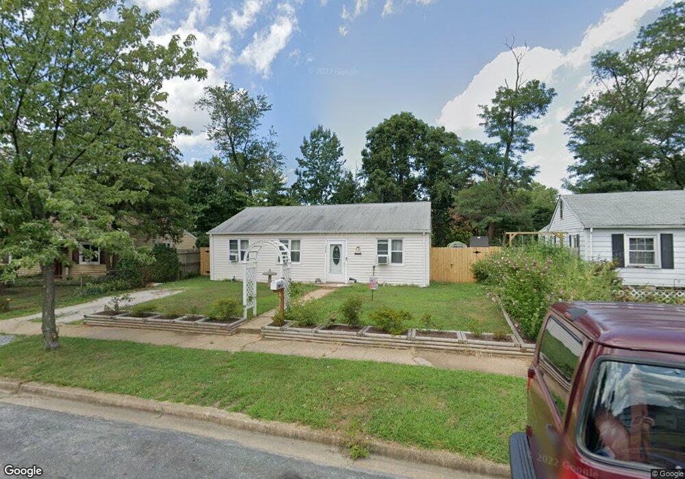
1626 Lorimer Rd Glen Burnie, MD 21061
Estimated Value: $270,000 - $367,000
--
Bed
1
Bath
1,444
Sq Ft
$219/Sq Ft
Est. Value
About This Home
This home is located at 1626 Lorimer Rd, Glen Burnie, MD 21061 and is currently estimated at $316,634, approximately $219 per square foot. 1626 Lorimer Rd is a home located in Anne Arundel County with nearby schools including Woodside Elementary School, Corkran Middle School, and Glen Burnie High School.
Ownership History
Date
Name
Owned For
Owner Type
Purchase Details
Closed on
Sep 12, 2024
Sold by
Crum Daniel T and Crum Sharon R
Bought by
Crum Daniel T and Engers Megan Nicole
Current Estimated Value
Purchase Details
Closed on
May 20, 2013
Sold by
Weinzwelg Lane Grosman and Weinzwelg Eugene Morris
Bought by
Crum Daniel T and Crum Sharon R
Purchase Details
Closed on
Jul 28, 1983
Bought by
Crum Daniel T and Crum Sharon R
Home Financials for this Owner
Home Financials are based on the most recent Mortgage that was taken out on this home.
Original Mortgage
$40,000
Interest Rate
13.58%
Create a Home Valuation Report for This Property
The Home Valuation Report is an in-depth analysis detailing your home's value as well as a comparison with similar homes in the area
Home Values in the Area
Average Home Value in this Area
Purchase History
| Date | Buyer | Sale Price | Title Company |
|---|---|---|---|
| Crum Daniel T | -- | None Listed On Document | |
| Crum Daniel T | -- | None Listed On Document | |
| Crum Daniel T | $2,000 | None Available | |
| Crum Daniel T | $41,500 | -- |
Source: Public Records
Mortgage History
| Date | Status | Borrower | Loan Amount |
|---|---|---|---|
| Previous Owner | Crum Daniel T | $40,000 |
Source: Public Records
Tax History Compared to Growth
Tax History
| Year | Tax Paid | Tax Assessment Tax Assessment Total Assessment is a certain percentage of the fair market value that is determined by local assessors to be the total taxable value of land and additions on the property. | Land | Improvement |
|---|---|---|---|---|
| 2025 | $1,983 | $244,500 | $142,000 | $102,500 |
| 2024 | $1,983 | $222,400 | $0 | $0 |
| 2023 | $1,904 | $200,300 | $0 | $0 |
| 2022 | $1,760 | $178,200 | $112,000 | $66,200 |
| 2021 | $3,467 | $174,233 | $0 | $0 |
| 2020 | $1,665 | $170,267 | $0 | $0 |
| 2019 | $1,641 | $166,300 | $102,000 | $64,300 |
| 2018 | $1,650 | $162,733 | $0 | $0 |
| 2017 | $1,556 | $159,167 | $0 | $0 |
| 2016 | -- | $155,600 | $0 | $0 |
| 2015 | -- | $147,133 | $0 | $0 |
| 2014 | -- | $138,667 | $0 | $0 |
Source: Public Records
Map
Nearby Homes
- 1612 Lorimer Rd
- 1702 Manning Rd
- 1613 Kimber Rd
- 1003 Lee Rd
- 1731 Saunders Way
- 1701 Norfolk Rd
- 8918 Twin Ridge Dr
- 0 Irene Dr
- 8903 Jeff Mar Dr
- 405 Morningside Dr
- 8906 Jeff Mar Dr
- 1318 Tarrant Rd
- 1921 Norwich Rd
- 1909 Pagham Rd
- 912 Oakwood Rd
- 301 Whitman Ct
- 1017 Thomas Rd
- 713 Cotter Rd
- 307 Oxford Dr
- 338 White Oak Way
- 1624 Lorimer Rd
- 1628 Lorimer Rd
- 1622 Lorimer Rd
- 1630 Lorimer Rd
- 1623 Lorimer Rd
- 1621 Lorimer Rd
- 1625 Lorimer Rd
- 1620 Lorimer Rd
- 1525 Ingalls Rd
- 1619 Lorimer Rd
- 1527 Ingalls Rd
- 1523 Ingalls Rd
- 1529 Ingalls Rd
- 1627 Lorimer Rd
- 1521 Ingalls Rd
- 1617 Lorimer Rd
- 1618 Lorimer Rd
- 1714 Manning Rd
- 1531 Ingalls Rd
- 1712 Manning Rd