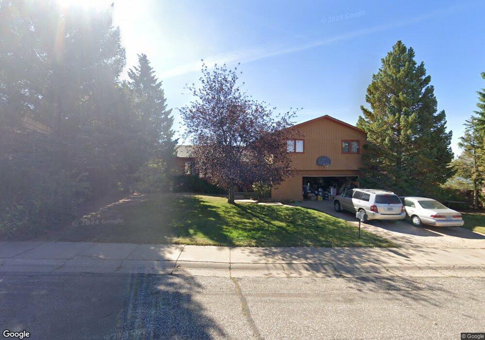
1626 W Hill Rd Laramie, WY 82072
Estimated Value: $436,000 - $492,000
4
Beds
3
Baths
2,084
Sq Ft
$220/Sq Ft
Est. Value
About This Home
This home is located at 1626 W Hill Rd, Laramie, WY 82072 and is currently estimated at $459,078, approximately $220 per square foot. 1626 W Hill Rd is a home located in Albany County with nearby schools including Slade Elementary School, Laramie Middle School, and Laramie High School.
Ownership History
Date
Name
Owned For
Owner Type
Purchase Details
Closed on
Feb 10, 2009
Sold by
Jacobs James J and Jacobs Carol A
Bought by
Atkinson Dell C and Atkinson Paula R
Current Estimated Value
Home Financials for this Owner
Home Financials are based on the most recent Mortgage that was taken out on this home.
Original Mortgage
$243,386
Outstanding Balance
$154,425
Interest Rate
5.17%
Mortgage Type
FHA
Estimated Equity
$304,653
Create a Home Valuation Report for This Property
The Home Valuation Report is an in-depth analysis detailing your home's value as well as a comparison with similar homes in the area
Home Values in the Area
Average Home Value in this Area
Purchase History
| Date | Buyer | Sale Price | Title Company |
|---|---|---|---|
| Atkinson Dell C | -- | -- |
Source: Public Records
Mortgage History
| Date | Status | Borrower | Loan Amount |
|---|---|---|---|
| Open | Atkinson Dell C | $243,386 |
Source: Public Records
Tax History Compared to Growth
Tax History
| Year | Tax Paid | Tax Assessment Tax Assessment Total Assessment is a certain percentage of the fair market value that is determined by local assessors to be the total taxable value of land and additions on the property. | Land | Improvement |
|---|---|---|---|---|
| 2025 | $2,999 | $32,049 | $5,363 | $26,686 |
| 2024 | $2,999 | $41,087 | $6,875 | $34,212 |
| 2023 | $2,987 | $40,915 | $6,875 | $34,040 |
| 2022 | $2,759 | $37,799 | $7,314 | $30,485 |
| 2021 | $2,334 | $31,978 | $6,517 | $25,461 |
| 2020 | $2,161 | $29,601 | $5,659 | $23,942 |
| 2019 | $2,039 | $27,929 | $5,659 | $22,270 |
| 2018 | $2,112 | $28,929 | $5,659 | $23,270 |
| 2017 | $2,136 | $29,265 | $5,659 | $23,606 |
| 2016 | $2,206 | $30,214 | $5,659 | $24,555 |
| 2015 | $2,034 | $27,860 | $6,345 | $21,515 |
| 2014 | $1,932 | $26,472 | $0 | $0 |
Source: Public Records
Map
Nearby Homes
- 1520 W Hill Rd
- 1402 Mitchell St
- 1554 Henry Dr
- 2122 E Curtis St
- 2167 N 16th St
- 2130 Edward Dr
- 1257 N 15th St Unit H
- 1259 N 15th St Unit G
- 1251 N 15th St Unit J
- 1150 N 18th St
- 1515 Beaufort St
- 1766 N 23rd St
- 1320 Beaufort St
- 1215 E Baker St
- 1725 E Beaufort St
- 2611 Reynolds St Unit A
- 1068 N 11th St
- 2719 Nighthawk Dr
- 716 Mitchell St
- 1103 E Canby St
- 1620 W Hill Rd
- 1702 W Hill Rd
- 1701 Mitchell St
- 1707 Mitchell St
- 1614 W Hill Rd
- 1613 Mitchell St
- 1708 W Hill Rd
- 1613 W Hill Rd
- 1713 Mitchell St
- 1608 W Hill Rd
- 1707 W Hill Rd
- 1607 Mitchell St
- 1607 W Hill Rd
- 1721 Mitchell St
- 1714 W Hill Rd
- 1720 W Hill Rd
- 1602 W Hill Rd
- 1601 W Hill Rd
- 1866 N 17th St
- 1708 Mitchell St