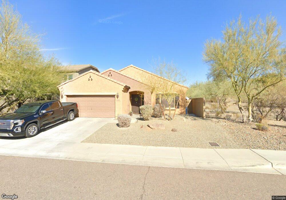
1626 W Red Bird Rd Phoenix, AZ 85085
North Gateway NeighborhoodEstimated Value: $594,799 - $751,000
Studio
--
Bath
1,915
Sq Ft
$346/Sq Ft
Est. Value
About This Home
This home is located at 1626 W Red Bird Rd, Phoenix, AZ 85085 and is currently estimated at $663,450, approximately $346 per square foot. 1626 W Red Bird Rd is a home located in Maricopa County with nearby schools including Union Park School, Barry Goldwater High School, and Adams Traditional Academy.
Ownership History
Date
Name
Owned For
Owner Type
Purchase Details
Closed on
Dec 6, 2010
Sold by
Pulte Home Corporation
Bought by
Fontes Joie L and Fontes Kenneth A
Current Estimated Value
Home Financials for this Owner
Home Financials are based on the most recent Mortgage that was taken out on this home.
Original Mortgage
$236,151
Outstanding Balance
$160,174
Interest Rate
4.75%
Mortgage Type
FHA
Estimated Equity
$503,276
Create a Home Valuation Report for This Property
The Home Valuation Report is an in-depth analysis detailing your home's value as well as a comparison with similar homes in the area
Home Values in the Area
Average Home Value in this Area
Purchase History
| Date | Buyer | Sale Price | Title Company |
|---|---|---|---|
| Fontes Joie L | $239,332 | Sun Title Agency Co |
Source: Public Records
Mortgage History
| Date | Status | Borrower | Loan Amount |
|---|---|---|---|
| Open | Fontes Joie L | $236,151 |
Source: Public Records
Tax History
| Year | Tax Paid | Tax Assessment Tax Assessment Total Assessment is a certain percentage of the fair market value that is determined by local assessors to be the total taxable value of land and additions on the property. | Land | Improvement |
|---|---|---|---|---|
| 2025 | $2,475 | $28,460 | -- | -- |
| 2024 | $2,408 | $27,105 | -- | -- |
| 2023 | $2,408 | $47,060 | $9,410 | $37,650 |
| 2022 | $2,319 | $36,120 | $7,220 | $28,900 |
| 2021 | $2,422 | $33,460 | $6,690 | $26,770 |
| 2020 | $2,378 | $31,630 | $6,320 | $25,310 |
| 2019 | $2,305 | $31,170 | $6,230 | $24,940 |
| 2018 | $2,224 | $30,250 | $6,050 | $24,200 |
| 2017 | $2,148 | $35,830 | $7,160 | $28,670 |
| 2016 | $2,027 | $29,830 | $5,960 | $23,870 |
| 2015 | $1,809 | $27,430 | $5,480 | $21,950 |
Source: Public Records
Map
Nearby Homes
- 1630 W Blaylock Dr
- 1656 W Cavedale Dr
- 1535 W Molly Ln
- 27011 N 14th Ln
- 27319 N 16th Ln
- 1819 W Bonanza Dr
- 1747 W Straight Arrow Ln
- 1918 W Bonanza Ln
- 1860 W Buckhorn Trail
- 1864 W Buckhorn Trail
- 26722 N 11th Dr
- 1919 W Bonanza Ln
- 1631 W Gambit Trail
- 27103 N Gidiyup Trail
- 26716 N 10th Ln
- 27507 N 19th Dr
- 2007 W Blaylock Dr
- 1732 W Gambit Trail
- 26346 N 19th Dr
- 2011 W Spur Dr
- 1634 W Red Bird Rd
- 1638 W Red Bird Rd
- 1625 W Red Bird Rd
- 1629 W Red Bird Rd
- 1633 W Red Bird Rd
- 1621 W Red Bird Rd
- 1610 W Red Bird Rd
- 1603 W Tombstone Trail
- 1642 W Red Bird Rd
- 1637 W Red Bird Rd
- 1607 W Tombstone Trail
- 1547 W Tombstone Trail
- 1611 W Tombstone Trail
- 1641 W Red Bird Rd
- 1646 W Red Bird Rd
- 1606 W Red Bird Rd
- 1611 W Red Bird Rd
- 1645 W Red Bird Rd
- 1543 W Tombstone Trail
- 1615 W Tombstone Trail
Your Personal Tour Guide
Ask me questions while you tour the home.