16261 Leo Cir Leavenworth, KS 66048
Estimated Value: $598,000 - $736,000
6
Beds
5
Baths
2,922
Sq Ft
$237/Sq Ft
Est. Value
About This Home
This home is located at 16261 Leo Cir, Leavenworth, KS 66048 and is currently estimated at $692,295, approximately $236 per square foot. 16261 Leo Cir is a home located in Leavenworth County with nearby schools including Lansing Elementary School, Lansing Middle 6-8, and Lansing High 9-12.
Ownership History
Date
Name
Owned For
Owner Type
Purchase Details
Closed on
Jul 17, 2018
Sold by
Clark Chadwick W and Clark Karen C
Bought by
Moreno James C and Moreno Christina P
Current Estimated Value
Home Financials for this Owner
Home Financials are based on the most recent Mortgage that was taken out on this home.
Original Mortgage
$452,000
Outstanding Balance
$391,726
Interest Rate
4.5%
Mortgage Type
VA
Estimated Equity
$300,570
Purchase Details
Closed on
Sep 11, 2009
Sold by
Ehi Llc
Bought by
Clark Chadwick W and Clark Karen C
Create a Home Valuation Report for This Property
The Home Valuation Report is an in-depth analysis detailing your home's value as well as a comparison with similar homes in the area
Home Values in the Area
Average Home Value in this Area
Purchase History
| Date | Buyer | Sale Price | Title Company |
|---|---|---|---|
| Moreno James C | $442,960 | New Title Company Name | |
| Clark Chadwick W | $390,270 | United Title |
Source: Public Records
Mortgage History
| Date | Status | Borrower | Loan Amount |
|---|---|---|---|
| Open | Moreno James C | $452,000 |
Source: Public Records
Tax History Compared to Growth
Tax History
| Year | Tax Paid | Tax Assessment Tax Assessment Total Assessment is a certain percentage of the fair market value that is determined by local assessors to be the total taxable value of land and additions on the property. | Land | Improvement |
|---|---|---|---|---|
| 2025 | $9,168 | $82,991 | $8,221 | $74,770 |
| 2024 | $8,402 | $79,798 | $10,092 | $69,706 |
| 2023 | $8,402 | $76,923 | $10,092 | $66,831 |
| 2022 | $8,441 | $74,428 | $7,585 | $66,843 |
| 2021 | $7,919 | $69,207 | $7,585 | $61,622 |
| 2020 | $6,435 | $55,361 | $7,585 | $47,776 |
| 2019 | $6,226 | $53,475 | $7,585 | $45,890 |
| 2018 | $6,223 | $53,475 | $7,585 | $45,890 |
| 2017 | $6,190 | $53,475 | $7,585 | $45,890 |
| 2016 | $5,896 | $51,023 | $7,585 | $43,438 |
| 2015 | $5,629 | $48,920 | $7,591 | $41,329 |
| 2014 | $5,367 | $47,495 | $7,591 | $39,904 |
Source: Public Records
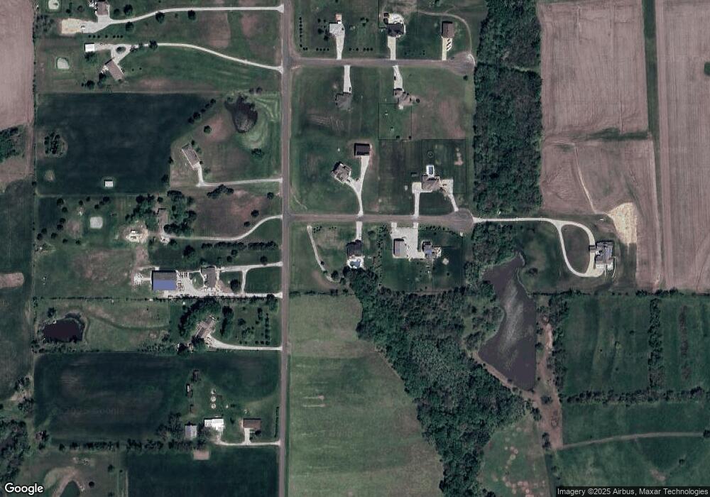
Map
Nearby Homes
- 16430 Dana Ln
- 00000 Gilman Rd
- 24450 171st St
- Lot 6 163rd St
- 25770 Tonganoxie Dr
- 15280 Roger Rd
- 25030 177th Terrace
- 1221 S Desoto Rd
- 17860 Clearview Dr
- 25055 Woodridge Cir
- 833 Rock Creek Dr
- 875 Clearview Dr
- 705 Rock Creek Dr
- 000 4-H Rd
- 15331 Price Rd
- 811 4-H Rd
- 22617 155th St
- 922 Southfork St
- 115 W Gilman Rd
- 15038 Fairmount Rd
- 16221 Leo Cir
- 16260 Leo Cir
- 16220 Leo Cir
- 16261 Hollie Cir
- 16221 Hollie Cir
- 24575 163rd St
- 24673 163rd St
- 24619 163rd St
- 24649 163rd St
- 16220 Hollie Cir
- 24503 163rd St
- 16260 Hollie Cir
- 24802 163rd St
- 24747 163rd St
- 24785 163rd St
- 00000 Hollie Cir
- 24830 163rd St
- 16374 Mcintyre Rd
- 24902 163rd St
- 16420 Mcintyre Rd