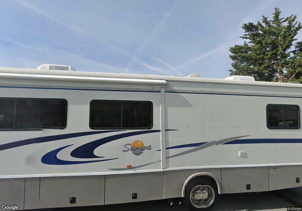
1627 Golddust Dr Sparks, NV 89436
Los Altos Parkway NeighborhoodEstimated Value: $587,000 - $618,000
3
Beds
2
Baths
2,026
Sq Ft
$296/Sq Ft
Est. Value
About This Home
This home is located at 1627 Golddust Dr, Sparks, NV 89436 and is currently estimated at $598,750, approximately $295 per square foot. 1627 Golddust Dr is a home located in Washoe County with nearby schools including Jerry Whitehead Elementary School, Lou Mendive Middle School, and Edward C Reed High School.
Ownership History
Date
Name
Owned For
Owner Type
Purchase Details
Closed on
Sep 9, 2013
Sold by
Ratto Mitch M and Ratto Hillary G
Bought by
Ratto Mitch M and Ratto Hillary G
Current Estimated Value
Purchase Details
Closed on
Feb 13, 2001
Sold by
Ratto Mitch M and Ratto Hillary G
Bought by
Ratto Mitch M and Ratto Hillary G
Home Financials for this Owner
Home Financials are based on the most recent Mortgage that was taken out on this home.
Original Mortgage
$147,000
Outstanding Balance
$53,098
Interest Rate
7.08%
Estimated Equity
$545,652
Purchase Details
Closed on
May 25, 1994
Sold by
Howells John G and Howells Janice P
Bought by
Ratto Mitch M and Hays Hillary F
Home Financials for this Owner
Home Financials are based on the most recent Mortgage that was taken out on this home.
Original Mortgage
$140,000
Interest Rate
8.3%
Create a Home Valuation Report for This Property
The Home Valuation Report is an in-depth analysis detailing your home's value as well as a comparison with similar homes in the area
Home Values in the Area
Average Home Value in this Area
Purchase History
| Date | Buyer | Sale Price | Title Company |
|---|---|---|---|
| Ratto Mitch M | -- | None Available | |
| Ratto Mitch M | -- | First American Title | |
| Ratto Mitch M | $175,000 | Founders Title Company |
Source: Public Records
Mortgage History
| Date | Status | Borrower | Loan Amount |
|---|---|---|---|
| Open | Ratto Mitch M | $147,000 | |
| Closed | Ratto Mitch M | $140,000 |
Source: Public Records
Tax History Compared to Growth
Tax History
| Year | Tax Paid | Tax Assessment Tax Assessment Total Assessment is a certain percentage of the fair market value that is determined by local assessors to be the total taxable value of land and additions on the property. | Land | Improvement |
|---|---|---|---|---|
| 2025 | $2,762 | $104,406 | $38,304 | $66,102 |
| 2024 | $2,762 | $103,343 | $36,068 | $67,276 |
| 2023 | $2,684 | $99,035 | $34,839 | $64,196 |
| 2022 | $2,606 | $83,449 | $29,547 | $53,902 |
| 2021 | $2,530 | $75,477 | $21,452 | $54,025 |
| 2020 | $2,455 | $75,931 | $21,420 | $54,511 |
| 2019 | $2,383 | $74,175 | $21,924 | $52,251 |
| 2018 | $2,313 | $67,477 | $16,002 | $51,475 |
| 2017 | $2,246 | $66,642 | $14,805 | $51,837 |
| 2016 | $2,189 | $66,184 | $13,073 | $53,111 |
| 2015 | $2,186 | $65,035 | $11,592 | $53,443 |
| 2014 | $2,123 | $61,703 | $9,797 | $51,906 |
| 2013 | -- | $56,437 | $8,033 | $48,404 |
Source: Public Records
Map
Nearby Homes
- 1557 Satellite Dr
- 1475 Golddust Dr
- 1484 Serendipity Ct
- 4393 Acobat Ct
- 3345 Groom Way
- 3253 Clan Alpine Dr
- 1357 Silver View Cir
- 1575 Olinghouse St
- 3238 Candelaria Dr
- 4675 Firtree Ln
- 1850 Almonte Ct
- 3324 Danville Dr
- 3127 Montezuma Way
- 3221 Myles Dr
- 3156 Waterfield Dr
- 3988 Ella Jayne Ct Unit Lot 6
- 1550 Istrice Rd
- 4515 Whitney Cir
- 3602 Oakridge Dr
- 4383 Setting Sun Ct Unit 1
- 1635 Golddust Dr
- 1643 Golddust Dr
- 1611 Golddust Dr
- 1632 Golddust Dr
- 1624 Golddust Dr
- 1616 Golddust Dr
- 1638 Golddust Dr
- 1651 Golddust Dr
- 1603 Golddust Dr
- 1646 Golddust Dr
- 1608 Golddust Dr
- 1659 Golddust Dr
- 1502 Satellite Dr Unit 2B
- 1654 Golddust Dr
- 1512 Satellite Dr
- 1522 Satellite Dr
- 1602 Golddust Dr
- 1448 Heaven Dr
- 1663 Golddust Dr
- 1662 Golddust Dr
