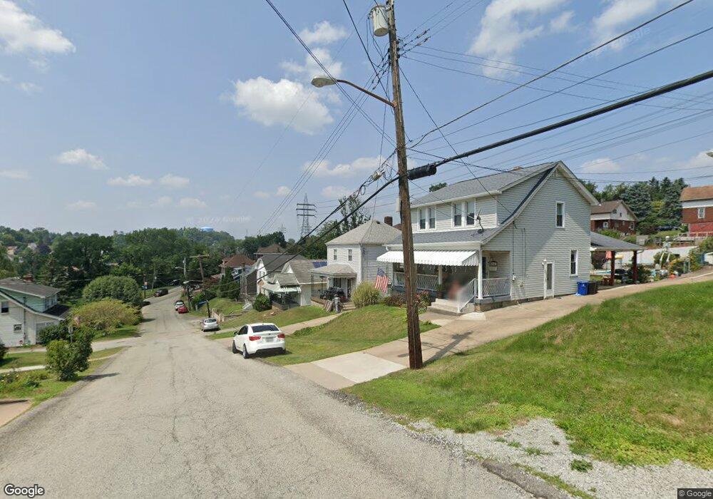
1627 Mcbride St Pittsburgh, PA 15207
Lincoln Place NeighborhoodEstimated Value: $126,000 - $154,000
2
Beds
1
Bath
1,100
Sq Ft
$128/Sq Ft
Est. Value
About This Home
This home is located at 1627 Mcbride St, Pittsburgh, PA 15207 and is currently estimated at $140,354, approximately $127 per square foot. 1627 Mcbride St is a home located in Allegheny County with nearby schools including Pittsburgh Mifflin K-8, Pittsburgh Allderdice High School, and Walnut Grove Christian School.
Ownership History
Date
Name
Owned For
Owner Type
Purchase Details
Closed on
Nov 10, 2005
Sold by
Burns Kenneth W
Bought by
Dornin Sean
Current Estimated Value
Home Financials for this Owner
Home Financials are based on the most recent Mortgage that was taken out on this home.
Original Mortgage
$58,500
Interest Rate
6.27%
Mortgage Type
New Conventional
Purchase Details
Closed on
Oct 22, 1999
Sold by
Estate Of Louise L Deardorff
Bought by
Burns Kenneth W and Burns Susan C
Create a Home Valuation Report for This Property
The Home Valuation Report is an in-depth analysis detailing your home's value as well as a comparison with similar homes in the area
Home Values in the Area
Average Home Value in this Area
Purchase History
| Date | Buyer | Sale Price | Title Company |
|---|---|---|---|
| Dornin Sean | $61,000 | -- | |
| Burns Kenneth W | $35,000 | -- |
Source: Public Records
Mortgage History
| Date | Status | Borrower | Loan Amount |
|---|---|---|---|
| Previous Owner | Dornin Sean | $58,500 |
Source: Public Records
Tax History Compared to Growth
Tax History
| Year | Tax Paid | Tax Assessment Tax Assessment Total Assessment is a certain percentage of the fair market value that is determined by local assessors to be the total taxable value of land and additions on the property. | Land | Improvement |
|---|---|---|---|---|
| 2025 | $991 | $43,000 | $12,200 | $30,800 |
| 2024 | $991 | $43,000 | $12,200 | $30,800 |
| 2023 | $991 | $43,000 | $12,200 | $30,800 |
| 2022 | $978 | $43,000 | $12,200 | $30,800 |
| 2021 | $978 | $43,000 | $12,200 | $30,800 |
| 2020 | $973 | $43,000 | $12,200 | $30,800 |
| 2019 | $973 | $43,000 | $12,200 | $30,800 |
| 2018 | $688 | $43,000 | $12,200 | $30,800 |
| 2017 | $973 | $43,000 | $12,200 | $30,800 |
| 2016 | $203 | $43,000 | $12,200 | $30,800 |
| 2015 | $203 | $61,000 | $12,200 | $48,800 |
| 2014 | $1,350 | $61,000 | $12,200 | $48,800 |
Source: Public Records
Map
Nearby Homes
- 1323 Leaside Dr
- 5606 Century Ave
- 5719 Keefe St
- 1222 Rodgers St
- 1161 Cox Place
- 1204 Mifflin Rd
- 4803 Aspen St
- 1141 Stock St
- 5838 Rodgers St
- 4829 Lougean Ave
- 5920 Rodgers St
- 1105 Stock St
- 5354 Cox Ave
- 1835 Orchid Place
- 5937 Apdale St
- LOT 2 Muldowney Ave
- LOT 1 Muldowney Ave
- 4800 Brierly Dr W
- 4647 W Run Rd
- 437 Green St
- 1633 Mcbride St
- 1623 Mcbride St
- 1637 Mcbride St
- 1617 Mcbride St
- 1399 Leaside Dr
- 1643 Mcbride St
- 1613 Mcbride St
- 1411 Leaside Dr
- 1393 Leaside Dr
- 1647 Mcbride St
- 1421 Leaside Dr
- 1616 Mcbride St
- 1607 Mcbride St
- 1415 Leaside Dr
- 1606 Mcbride St
- 1630 Mcbride St
- 1701 Mcbride St
- 1601 Mcbride St
- 1622 Mcbride St
- 5303 Mifflin Rd