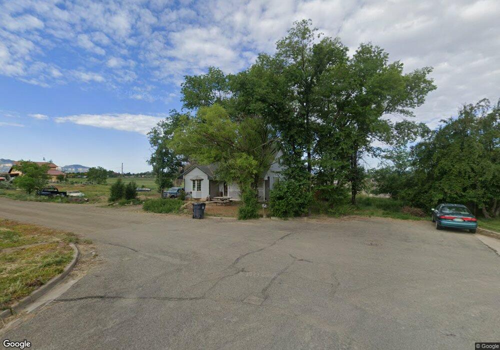
1627 Rolling Rd Cortez, CO 81321
Estimated Value: $352,000 - $472,000
2
Beds
2
Baths
1,492
Sq Ft
$262/Sq Ft
Est. Value
About This Home
This home is located at 1627 Rolling Rd, Cortez, CO 81321 and is currently estimated at $391,377, approximately $262 per square foot. 1627 Rolling Rd is a home located in Montezuma County with nearby schools including Montezuma-Cortez High School, Children's Kiva Montessori School, and Southwest Open Charter School.
Ownership History
Date
Name
Owned For
Owner Type
Purchase Details
Closed on
Jun 8, 2023
Sold by
Wahtcott Christopher Allen and Faucher-Whatcott Michelle
Bought by
Wahtcott Christopher Allen and Faucher-Whatcott Michelle
Current Estimated Value
Purchase Details
Closed on
Dec 17, 2003
Sold by
Burroughs Barbara L Estate
Bought by
Chester Kenneth
Purchase Details
Closed on
Dec 16, 2003
Sold by
Burroughs Barbara L Estate
Bought by
Chester Kenneth
Purchase Details
Closed on
Oct 18, 2002
Sold by
Burroughs Barbara Lee
Bought by
Chester Kenneth
Purchase Details
Closed on
Oct 3, 2002
Sold by
Burroughs E. Harold
Bought by
Burroughs Barbara L Estate
Create a Home Valuation Report for This Property
The Home Valuation Report is an in-depth analysis detailing your home's value as well as a comparison with similar homes in the area
Purchase History
| Date | Buyer | Sale Price | Title Company |
|---|---|---|---|
| Wahtcott Christopher Allen | -- | None Listed On Document | |
| Chester Kenneth | -- | -- | |
| Chester Kenneth | -- | -- | |
| Chester Kenneth | -- | -- | |
| Burroughs Barbara L Estate | -- | -- |
Source: Public Records
Tax History
| Year | Tax Paid | Tax Assessment Tax Assessment Total Assessment is a certain percentage of the fair market value that is determined by local assessors to be the total taxable value of land and additions on the property. | Land | Improvement |
|---|---|---|---|---|
| 2025 | $1,774 | $29,155 | $9,330 | $19,825 |
| 2024 | $1,774 | $29,585 | $13,691 | $15,894 |
| 2023 | $1,520 | $33,963 | $15,717 | $18,246 |
| 2022 | $1,012 | $20,934 | $7,177 | $13,757 |
| 2021 | $1,030 | $20,934 | $7,177 | $13,757 |
| 2020 | $897 | $18,951 | $7,894 | $11,057 |
| 2019 | $900 | $18,951 | $7,894 | $11,057 |
| 2018 | $968 | $15,180 | $7,140 | $8,040 |
| 2017 | $963 | $15,180 | $7,140 | $8,040 |
| 2016 | $959 | $16,690 | $7,890 | $8,800 |
| 2015 | $460 | $243,070 | $0 | $0 |
| 2014 | $536 | $8,730 | $0 | $0 |
Source: Public Records
Map
Nearby Homes
- 1710 Center St
- 2109 Tucker Ln
- TBD 61 Kaleigh Cir
- 1403 Balsam St
- 1630 Gateway Dr Unit 3
- 1400 N Dolores Rd
- TBD Road L Rd
- TBD 144 Lots Gateway Dr
- TBD N Dolores Rd
- 2304 La Plata St
- 2271 S Par Dr
- TBD Aldridge Rd
- 918 Brookside Dr
- 11290 Colorado 145
- 10880 Road 26
- 938 Livesay Dr
- 1328 Jackson St
- 1517 Golf Course Ln
- 613 Colorado St
- 840 Brookside Dr
- 0 Rolling Rd Unit 604721
- 0 Rolling Rd Unit 626384
- 0 Rolling Rd Unit 628831
- 0 Rolling Rd Unit 633733
- 0 Rolling Rd Unit 639453
- 0 Rolling Rd Unit 654731
- 0 Rolling Rd Unit 658027
- 0 Rolling Rd Unit 661252
- 0 Rolling Rd Unit TBD Tucker Lane
- 0 Rolling Rd
- 1703 Rolling Rd
- 1741 Brooke St
- 1749 Brooke St
- 1626 Rolling Rd
- 1711 Rolling Rd
- 1710 Rolling Rd
- 1705 Brooke St
- TBD Brooke St
- 0 Brooke St Unit 756744
- 0 Brooke St Unit 744913
Your Personal Tour Guide
Ask me questions while you tour the home.