1628 180th St Sioux City, IA 51106
Estimated Value: $197,000 - $338,000
2
Beds
1
Bath
1,008
Sq Ft
$288/Sq Ft
Est. Value
About This Home
This home is located at 1628 180th St, Sioux City, IA 51106 and is currently estimated at $290,673, approximately $288 per square foot. 1628 180th St is a home located in Woodbury County with nearby schools including Sergeant Bluff-Luton Primary School, Sergeant Bluff-Luton Elementary School, and Sergeant Bluff-Luton Middle School.
Ownership History
Date
Name
Owned For
Owner Type
Purchase Details
Closed on
May 17, 2022
Sold by
Green Stephen M and Green Janice A
Bought by
Green Janice Ann
Current Estimated Value
Purchase Details
Closed on
Jun 5, 2007
Sold by
Girard Timothy and Girard Tera
Bought by
Green Stephen M and Green Janice A
Create a Home Valuation Report for This Property
The Home Valuation Report is an in-depth analysis detailing your home's value as well as a comparison with similar homes in the area
Home Values in the Area
Average Home Value in this Area
Purchase History
| Date | Buyer | Sale Price | Title Company |
|---|---|---|---|
| Green Janice Ann | -- | Lessmann Colby M | |
| Green Stephen M | $85,000 | -- |
Source: Public Records
Tax History Compared to Growth
Tax History
| Year | Tax Paid | Tax Assessment Tax Assessment Total Assessment is a certain percentage of the fair market value that is determined by local assessors to be the total taxable value of land and additions on the property. | Land | Improvement |
|---|---|---|---|---|
| 2025 | $2,398 | $263,000 | $69,600 | $193,400 |
| 2024 | $2,398 | $245,620 | $46,000 | $199,620 |
| 2023 | $2,062 | $245,620 | $46,000 | $199,620 |
| 2022 | $2,044 | $180,090 | $46,000 | $134,090 |
| 2021 | $2,044 | $180,090 | $46,000 | $134,090 |
| 2020 | $1,992 | $169,310 | $49,220 | $120,090 |
| 2019 | $1,768 | $169,310 | $49,220 | $120,090 |
| 2018 | $1,754 | $150,050 | $29,960 | $120,090 |
| 2017 | $1,754 | $150,050 | $29,960 | $120,090 |
| 2016 | $2,052 | $150,050 | $0 | $0 |
| 2015 | $2,075 | $140,230 | $28,000 | $112,230 |
| 2014 | $1,970 | $138,140 | $28,000 | $110,140 |
Source: Public Records
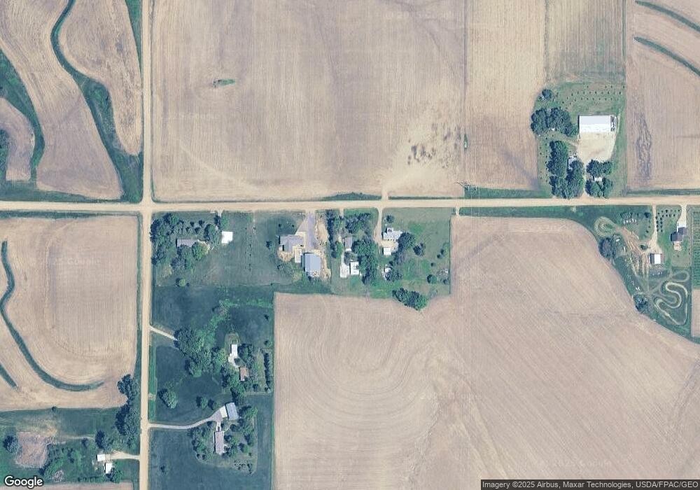
Map
Nearby Homes
- 6810 Brookside Dr
- 6700 Windsong Ct
- 6701 Windsong Ct
- 3441 Glen Ellen Rd
- 17 Heritage Place
- 6413 Mickelson St
- 2564 Nicklaus Blvd
- 1713 Old Highway 141
- 2640 Nicklaus Blvd
- 2600 Nicklaus Blvd
- 5225 Lynx Ct
- 5201 Lynx Ct
- TBD Old Highway 141
- 6290 Tiger Dr
- 1441 170th St
- 6104 Pine View Dr
- 5510 Christy Rd
- 1903 Elk Creek Rd
- 6119 Morningside Ave
- 5260 Overlook Ln
- 1624 180th St
- 1642 180th St
- 1832 Buchanan Ave
- 1616 180th St
- 1616 180th St
- 1844 Buchanan Ave
- 1827 Buchanan Ave
- 1846 Buchanan Ave
- 1652 180th St
- 1658 180th St
- 1581 180th St
- 1861 Buchanan Ave
- 1541 Old Highway 141
- 0 Old Hwy 141 Unit 602463
- 0 Old Hwy 141 Unit 602563
- 1746 Buchanan Ave
- 1550 180th St
- 1538 Old Highway 141
- 1515 Old Highway 141
- 3800 Glen Ellen Rd