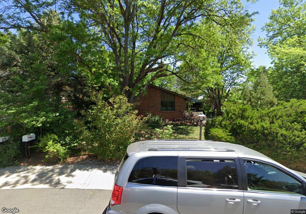
1628 Albion Ln Longmont, CO 80503
Longmont Estates NeighborhoodEstimated Value: $599,000 - $663,000
4
Beds
3
Baths
1,275
Sq Ft
$488/Sq Ft
Est. Value
About This Home
This home is located at 1628 Albion Ln, Longmont, CO 80503 and is currently estimated at $622,615, approximately $488 per square foot. 1628 Albion Ln is a home located in Boulder County with nearby schools including Longmont Estates Elementary School, Westview Middle School, and Silver Creek High School.
Ownership History
Date
Name
Owned For
Owner Type
Purchase Details
Closed on
Apr 1, 2010
Sold by
Paul & Esther Johnsjoy Loving Trust
Bought by
Spurgeon Scott Ross
Current Estimated Value
Home Financials for this Owner
Home Financials are based on the most recent Mortgage that was taken out on this home.
Original Mortgage
$260,629
Outstanding Balance
$172,466
Interest Rate
4.87%
Mortgage Type
FHA
Estimated Equity
$450,149
Create a Home Valuation Report for This Property
The Home Valuation Report is an in-depth analysis detailing your home's value as well as a comparison with similar homes in the area
Home Values in the Area
Average Home Value in this Area
Purchase History
| Date | Buyer | Sale Price | Title Company |
|---|---|---|---|
| Spurgeon Scott Ross | $265,438 | Utc Colorado |
Source: Public Records
Mortgage History
| Date | Status | Borrower | Loan Amount |
|---|---|---|---|
| Open | Spurgeon Scott Ross | $260,629 |
Source: Public Records
Tax History Compared to Growth
Tax History
| Year | Tax Paid | Tax Assessment Tax Assessment Total Assessment is a certain percentage of the fair market value that is determined by local assessors to be the total taxable value of land and additions on the property. | Land | Improvement |
|---|---|---|---|---|
| 2025 | $3,827 | $40,125 | $11,769 | $28,356 |
| 2024 | $3,827 | $40,125 | $11,769 | $28,356 |
| 2023 | $3,775 | $40,006 | $13,132 | $30,559 |
| 2022 | $3,299 | $33,339 | $10,119 | $23,220 |
| 2021 | $3,342 | $34,298 | $10,410 | $23,888 |
| 2020 | $2,900 | $29,851 | $8,437 | $21,414 |
| 2019 | $2,854 | $29,851 | $8,437 | $21,414 |
| 2018 | $2,580 | $27,158 | $8,496 | $18,662 |
| 2017 | $2,545 | $30,025 | $9,393 | $20,632 |
| 2016 | $2,332 | $24,398 | $11,383 | $13,015 |
| 2015 | $2,222 | $20,513 | $5,731 | $14,782 |
| 2014 | $1,916 | $20,513 | $5,731 | $14,782 |
Source: Public Records
Map
Nearby Homes
- 3331 Lakeview Cir
- 1545 Drake St
- 3806 Findlay Ln
- 3721 Columbia Dr
- 28 University Dr
- 3514 Mountain View Ave
- 161 Baylor Dr
- 1440 Northwestern Rd
- 8523 Hygiene Rd
- 1429 Auburn Ct
- 2959 Lakeshore Dr
- 3316 Camden Dr
- 2888 Humboldt Cir
- 1345 Northwestern Rd
- 2871 Humboldt Cir
- 2810 Humboldt Cir
- 1506 Fisk Ct
- 1229 Twin Peaks Cir
- 1448 Elmhurst Ct
- 2623 Elmhurst Cir
- 1634 Albion Ln
- 1622 Albion Ln
- 41 Dartmouth Cir
- 39 Dartmouth Cir
- 3605 Kenyon Ln
- 43 Dartmouth Cir
- 3601 Kenyon Ln
- 37 Dartmouth Cir
- 1616 Albion Ln
- 1629 Albion Ln
- 45 Dartmouth Cir
- 1639 Albion Ln
- 1617 Albion Ln
- 1648 Albion Ln
- 3611 Kenyon Ln
- 3600 Kenyon Ln
- 1608 Albion Ln
- 40 Dartmouth Cir
- 42 Dartmouth Cir
- 38 Dartmouth Cir