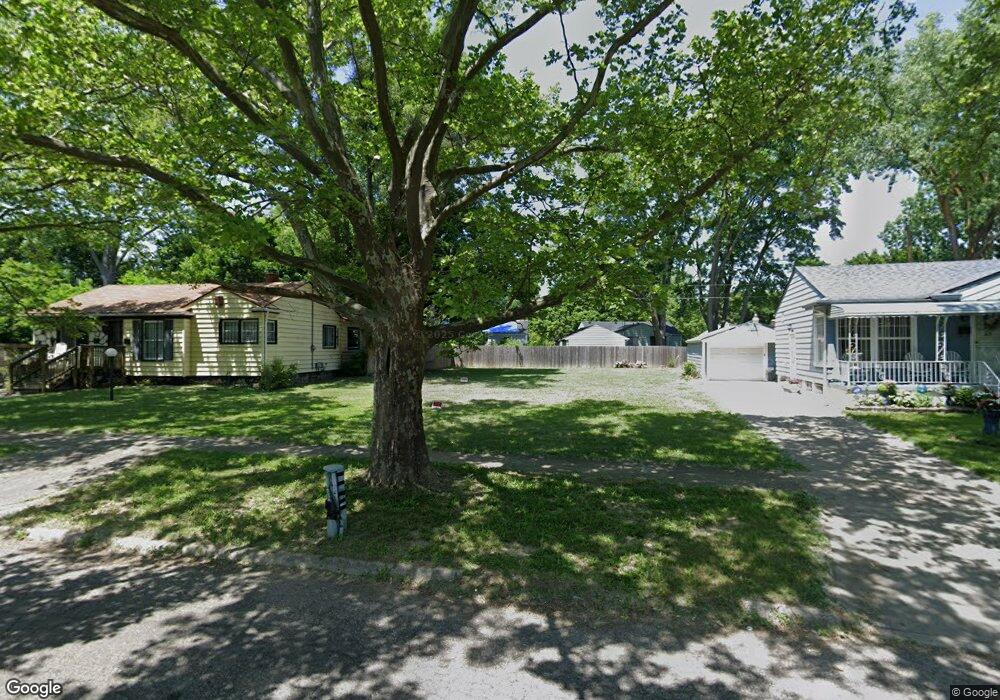
1628 Canniff St Flint, MI 48504
Bel-Aire Woods NeighborhoodEstimated Value: $21,000 - $81,000
3
Beds
1
Bath
878
Sq Ft
$51/Sq Ft
Est. Value
About This Home
This home is located at 1628 Canniff St, Flint, MI 48504 and is currently estimated at $45,000, approximately $51 per square foot. 1628 Canniff St is a home located in Genesee County with nearby schools including Brownell STEM Academy, The New Standard Academy, and Eagle's Nest Academy.
Ownership History
Date
Name
Owned For
Owner Type
Purchase Details
Closed on
Mar 15, 2019
Sold by
Genessee County Land Bank Authority
Bought by
Taylor Shirley Jean
Current Estimated Value
Purchase Details
Closed on
Dec 20, 2016
Sold by
Cherry Deborah L
Bought by
Genesee County Land Bank
Purchase Details
Closed on
Jun 15, 2009
Sold by
Gamble Willie M and Estate Of Anthony S Gamble
Bought by
Gamble Willie M and Gamble Ronnie
Create a Home Valuation Report for This Property
The Home Valuation Report is an in-depth analysis detailing your home's value as well as a comparison with similar homes in the area
Home Values in the Area
Average Home Value in this Area
Purchase History
| Date | Buyer | Sale Price | Title Company |
|---|---|---|---|
| Taylor Shirley Jean | -- | None Available | |
| Genesee County Land Bank | -- | None Available | |
| Gamble Willie M | -- | None Available |
Source: Public Records
Tax History
| Year | Tax Paid | Tax Assessment Tax Assessment Total Assessment is a certain percentage of the fair market value that is determined by local assessors to be the total taxable value of land and additions on the property. | Land | Improvement |
|---|---|---|---|---|
| 2025 | $148 | $2,500 | $0 | $0 |
| 2024 | $137 | $2,500 | $0 | $0 |
| 2023 | $144 | $2,700 | $0 | $0 |
| 2022 | $0 | $1,600 | $0 | $0 |
| 2021 | $178 | $1,500 | $0 | $0 |
| 2020 | $166 | $1,400 | $0 | $0 |
| 2019 | $674 | $0 | $0 | $0 |
| 2018 | $221 | $0 | $0 | $0 |
| 2017 | $221 | $0 | $0 | $0 |
| 2016 | $674 | $0 | $0 | $0 |
| 2015 | $0 | $0 | $0 | $0 |
| 2014 | -- | $0 | $0 | $0 |
| 2012 | -- | $11,600 | $0 | $0 |
Source: Public Records
Map
Nearby Homes
- 4539 Trumbull Dr
- 1710 Shamrock Ln
- 1909 Cherrylawn Dr
- 5106 Cloverlawn Dr
- 2210 Canniff St
- 5413 Fleming Rd
- 1720 Marlowe Dr
- 4816 Glenn Ave
- 4110 Leerda St
- 5502 Susan St
- 5620 Marlowe Dr
- 1518 Randy Ct
- 4808 Edwards Ave
- 4013 Sterling St
- 4008 Winona St
- 5905 Cloverlawn Dr
- 3808 Comstock Ave
- 1709 W Home Ave
- 5610 Baldwin Blvd
- 5416 Dupont St
- 1702 Canniff St
- 1624 Canniff St
- 4816 Greenlawn Dr
- 1706 Canniff St
- 1620 Canniff St
- 4820 Greenlawn Dr
- 4812 Greenlawn Dr
- 4808 Greenlawn Dr
- 4824 Greenlawn Dr
- 1710 Canniff St
- 4801 Miami Ln
- 4809 Miami Ln
- 4712 Warrington Dr
- 4828 Greenlawn Dr
- 4813 Miami Ln
- 4716 Warrington Dr
- 4813 Greenlawn Dr
- 4809 Greenlawn Dr
- 4817 Greenlawn Dr
- 4817 Miami Ln
Your Personal Tour Guide
Ask me questions while you tour the home.