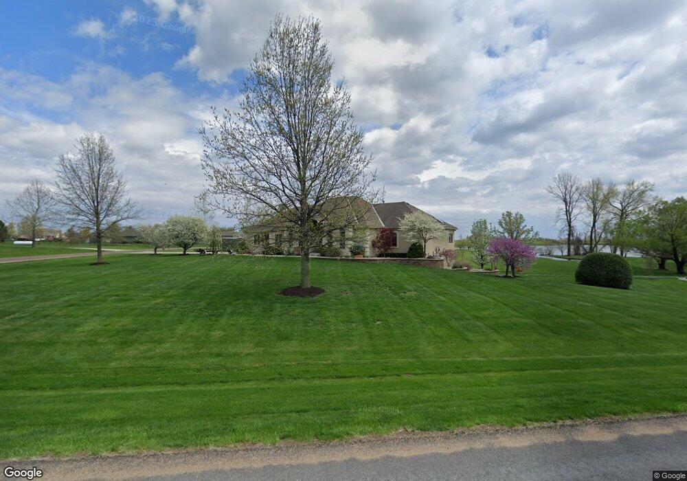
16287 Nicole Ln Leavenworth, KS 66048
Estimated Value: $533,000 - $685,278
5
Beds
5
Baths
2,372
Sq Ft
$258/Sq Ft
Est. Value
About This Home
This home is located at 16287 Nicole Ln, Leavenworth, KS 66048 and is currently estimated at $612,570, approximately $258 per square foot. 16287 Nicole Ln is a home located in Leavenworth County with nearby schools including Lansing Elementary School, Lansing Middle 6-8, and Lansing High 9-12.
Ownership History
Date
Name
Owned For
Owner Type
Purchase Details
Closed on
May 28, 2025
Sold by
Ritchhart William and Ritchhart Stacy
Bought by
Ritchhart Trust and Ritchhart
Current Estimated Value
Purchase Details
Closed on
Jul 15, 2011
Sold by
Bohannon Dale R
Bought by
Ritchhart William R and Ritchhart Stacy J
Create a Home Valuation Report for This Property
The Home Valuation Report is an in-depth analysis detailing your home's value as well as a comparison with similar homes in the area
Home Values in the Area
Average Home Value in this Area
Purchase History
| Date | Buyer | Sale Price | Title Company |
|---|---|---|---|
| Ritchhart Trust | -- | None Listed On Document | |
| Ritchhart William R | $391,020 | -- |
Source: Public Records
Mortgage History
| Date | Status | Borrower | Loan Amount |
|---|---|---|---|
| Closed | Ritchhart William R | $399,000 |
Source: Public Records
Tax History Compared to Growth
Tax History
| Year | Tax Paid | Tax Assessment Tax Assessment Total Assessment is a certain percentage of the fair market value that is determined by local assessors to be the total taxable value of land and additions on the property. | Land | Improvement |
|---|---|---|---|---|
| 2025 | $11,149 | $90,288 | $11,831 | $78,457 |
| 2024 | $10,202 | $90,664 | $14,516 | $76,148 |
| 2023 | $10,202 | $86,795 | $14,516 | $72,279 |
| 2022 | $9,388 | $76,505 | $11,042 | $65,463 |
| 2021 | $8,144 | $64,997 | $9,621 | $55,376 |
| 2020 | $7,721 | $60,289 | $9,227 | $51,062 |
| 2019 | $7,459 | $57,946 | $8,650 | $49,296 |
| 2018 | $7,232 | $56,041 | $7,108 | $48,933 |
| 2017 | $6,875 | $53,262 | $6,822 | $46,440 |
| 2016 | $6,386 | $50,725 | $6,722 | $44,003 |
| 2015 | $6,121 | $49,497 | $6,722 | $42,775 |
| 2014 | $6,061 | $49,855 | $6,722 | $43,133 |
Source: Public Records
Map
Nearby Homes
- 16430 Dana Ln
- 00000 Gilman Rd
- Lot 6 163rd St
- 24450 171st St
- 25770 Tonganoxie Dr
- 25030 177th Terrace
- 17860 Clearview Dr
- 25055 Woodridge Cir
- 1221 S Desoto Rd
- 833 Rock Creek Dr
- 000 4-H Rd
- 875 Clearview Dr
- 15280 Roger Rd
- 811 4-H Rd
- 705 Rock Creek Dr
- 922 Southfork St
- 115 W Gilman Rd
- 722 Bittersweet Rd
- 624 S Bittersweet Ln
- 77 Continental Dr
- 16270 Nicole Ln
- 16291 Nicole Ln
- 16261 Nicole Ln
- 16264 Nicole Ln
- 25074 163rd St
- 25075 163rd St
- 16211 Nicole Ln
- 16214 Nicole Ln
- 24902 163rd St
- 25092 163rd St
- 16303 Dana Ln
- 16223 Dana Ln
- 24830 163rd St
- 16323 Dana Ln
- 16240 Dana Ln
- 16186 Nicole Ln
- 16209 Dana Ln
- 25101 163rd St
- 25010 164th St
- 16167 Dana Ln