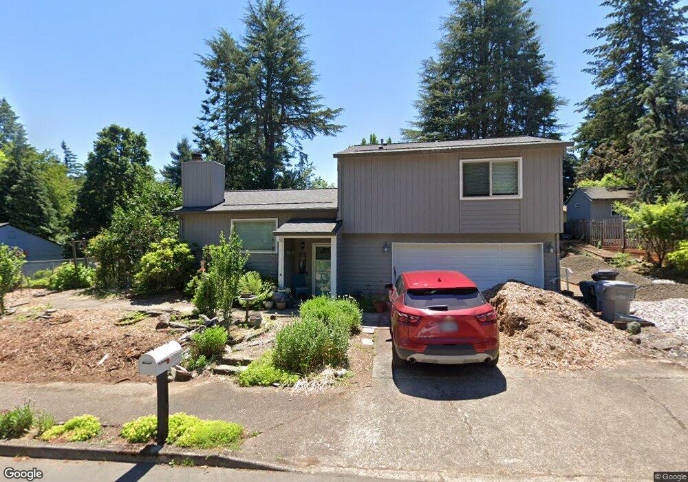
1629 Jamie Cir West Linn, OR 97068
Willamette NeighborhoodEstimated Value: $570,000 - $694,000
3
Beds
3
Baths
1,718
Sq Ft
$353/Sq Ft
Est. Value
About This Home
This home is located at 1629 Jamie Cir, West Linn, OR 97068 and is currently estimated at $606,476, approximately $353 per square foot. 1629 Jamie Cir is a home located in Clackamas County with nearby schools including Willamette Primary School, Athey Creek Middle School, and West Linn High School.
Ownership History
Date
Name
Owned For
Owner Type
Purchase Details
Closed on
Aug 16, 2023
Sold by
Mcintyre Laurance Joseph and Mcintyre Ruth Verniell
Bought by
Mcintyre Jeffrey Carl and Mcintyre Celeste Marie
Current Estimated Value
Create a Home Valuation Report for This Property
The Home Valuation Report is an in-depth analysis detailing your home's value as well as a comparison with similar homes in the area
Home Values in the Area
Average Home Value in this Area
Purchase History
| Date | Buyer | Sale Price | Title Company |
|---|---|---|---|
| Mcintyre Jeffrey Carl | -- | None Listed On Document |
Source: Public Records
Tax History Compared to Growth
Tax History
| Year | Tax Paid | Tax Assessment Tax Assessment Total Assessment is a certain percentage of the fair market value that is determined by local assessors to be the total taxable value of land and additions on the property. | Land | Improvement |
|---|---|---|---|---|
| 2025 | $5,073 | $263,240 | -- | -- |
| 2024 | $4,883 | $255,573 | -- | -- |
| 2023 | $4,883 | $248,130 | $0 | $0 |
| 2022 | $4,609 | $240,903 | $0 | $0 |
| 2021 | $4,375 | $233,887 | $0 | $0 |
| 2020 | $4,405 | $227,075 | $0 | $0 |
| 2019 | $4,201 | $220,462 | $0 | $0 |
| 2018 | $4,013 | $214,041 | $0 | $0 |
| 2017 | $3,857 | $207,807 | $0 | $0 |
| 2016 | $3,758 | $201,754 | $0 | $0 |
| 2015 | $3,510 | $195,878 | $0 | $0 |
| 2014 | $3,352 | $190,173 | $0 | $0 |
Source: Public Records
Map
Nearby Homes
- 1733 Jamie Cir
- 1931 13th St
- 1925 Hillhouse Dr
- 1721 Dollar St Unit 1721
- 2026 Virginia Ln
- 1791 Blankenship Rd
- 1694 16th St
- 1690 16th St
- 975 Springtree Ln
- 850 Springtree Ln Unit 850
- 880 Springtree Ln Unit 880
- 800 Springtree Ln
- 25540 Cheryl Dr
- 640 Springtree Ln
- 2077 5th Ave
- 4630 Summerlinn Way
- 4650 Summerlinn Way
- 1296 13th St
- 3850 Summerlinn Dr Unit 58
- 1315 11th St
- 1680 Timothy Ln
- 1621 Jamie Cir
- 1635 Jamie Cir
- 1710 Timothy Ln
- 1644 Jamie Cir
- 1615 Jamie Cir
- 1649 Jamie Cir
- 1753 Jamie Cir
- 1679 Timothy Ln
- 1716 Jamie Cir
- 1720 Timothy Ln
- 1675 Timothy Ln
- 1933 16th St
- 1711 Timothy Ln
- 1785 Jamie Cir
- 1785 Jamie Cr
- 1736 Jamie Cir
- 1665 Jamie Cir
- 1721 Timothy Ln
- 1699 April Ct