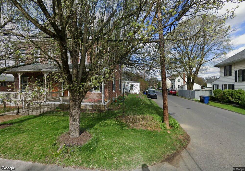
1629 N 21st St Allentown, PA 18104
South Whitehall Township NeighborhoodEstimated Value: $261,684 - $344,000
3
Beds
2
Baths
1,440
Sq Ft
$208/Sq Ft
Est. Value
About This Home
This home is located at 1629 N 21st St, Allentown, PA 18104 and is currently estimated at $299,421, approximately $207 per square foot. 1629 N 21st St is a home located in Lehigh County with nearby schools including Tussing Elementary School, Kratzer Elementary School, and Cavelero Mid High School.
Ownership History
Date
Name
Owned For
Owner Type
Purchase Details
Closed on
Aug 22, 1983
Sold by
Schantz Robert T and Schantz Cheryl
Bought by
Shelley Michael M and Shelley Kathleen
Current Estimated Value
Purchase Details
Closed on
May 5, 1980
Bought by
Schantz Robert T and Schantz Cheryl
Create a Home Valuation Report for This Property
The Home Valuation Report is an in-depth analysis detailing your home's value as well as a comparison with similar homes in the area
Home Values in the Area
Average Home Value in this Area
Purchase History
| Date | Buyer | Sale Price | Title Company |
|---|---|---|---|
| Shelley Michael M | $50,000 | -- | |
| Schantz Robert T | $33,500 | -- |
Source: Public Records
Tax History Compared to Growth
Tax History
| Year | Tax Paid | Tax Assessment Tax Assessment Total Assessment is a certain percentage of the fair market value that is determined by local assessors to be the total taxable value of land and additions on the property. | Land | Improvement |
|---|---|---|---|---|
| 2025 | $3,011 | $123,800 | $13,000 | $110,800 |
| 2024 | $2,909 | $123,800 | $13,000 | $110,800 |
| 2023 | $2,847 | $123,800 | $13,000 | $110,800 |
| 2022 | $2,836 | $123,800 | $110,800 | $13,000 |
| 2021 | $2,836 | $123,800 | $13,000 | $110,800 |
| 2020 | $2,836 | $123,800 | $13,000 | $110,800 |
| 2019 | $2,783 | $123,800 | $13,000 | $110,800 |
| 2018 | $2,691 | $123,800 | $13,000 | $110,800 |
| 2017 | $2,599 | $123,800 | $13,000 | $110,800 |
| 2016 | -- | $123,800 | $13,000 | $110,800 |
| 2015 | -- | $123,800 | $13,000 | $110,800 |
| 2014 | -- | $123,800 | $13,000 | $110,800 |
Source: Public Records
Map
Nearby Homes
- 1739 N 21st St
- 1818 W Jane St
- 2210 Grove St
- 1718 W Stanley St Unit 1722
- 1246 N 22nd St
- 1243 N 19th St
- 2020 Whitehall Ave
- 1590 Abigail Ln Unit LOT 59
- 1573 Abigail Ln
- 1135 N 23rd St
- 2014 W Highland St
- 1221 N 25th St Unit 1225
- 2328 W Congress St
- 1523 N 27th St
- 1017 N 21st St
- 1613 W Congress St Unit 1619
- 2101 Van Buren Dr
- 2150 W Livingston St
- 2403 W Tremont St
- 1244 N Ott St
- 1631 N 21st St
- 1625 N 21st St
- 1637 N 21st St
- 2037 Custer St Unit Rear Apartment
- 2037 Custer St Unit Rear Apt
- 2037 Custer St
- 2037 Custer St Unit Rear
- 2038 Custer St
- 2045 Huckleberry Rd
- 1645 N 21st St
- 2033 Custer St
- 2034 Custer St
- 2039 Huckleberry Rd
- 2145 Huckleberry Rd
- 1647 N 21st St
- 2027 Custer St
- 2040 Ruth St
- 2036 Harold Ave
- 2033 Huckleberry Rd
- 2138 Huckleberry Rd