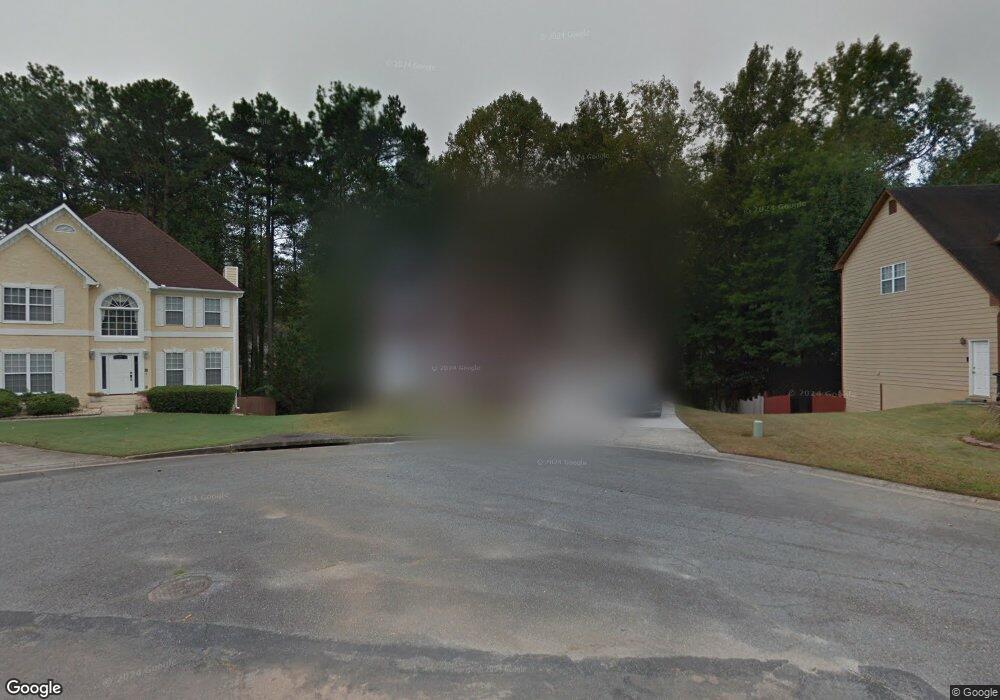
1629 Samantha Place SW Unit 2 Marietta, GA 30008
Southwestern Marietta NeighborhoodEstimated Value: $376,000 - $408,000
4
Beds
3
Baths
2,460
Sq Ft
$159/Sq Ft
Est. Value
About This Home
This home is located at 1629 Samantha Place SW Unit 2, Marietta, GA 30008 and is currently estimated at $390,084, approximately $158 per square foot. 1629 Samantha Place SW Unit 2 is a home located in Cobb County with nearby schools including Dowell Elementary School, Smitha Middle School, and Osborne High School.
Ownership History
Date
Name
Owned For
Owner Type
Purchase Details
Closed on
Aug 30, 1996
Sold by
W Mark Ellis Co Inc
Bought by
Barnwell Darryl Dawn C
Current Estimated Value
Create a Home Valuation Report for This Property
The Home Valuation Report is an in-depth analysis detailing your home's value as well as a comparison with similar homes in the area
Home Values in the Area
Average Home Value in this Area
Purchase History
| Date | Buyer | Sale Price | Title Company |
|---|---|---|---|
| Barnwell Darryl Dawn C | $147,900 | -- |
Source: Public Records
Mortgage History
| Date | Status | Borrower | Loan Amount |
|---|---|---|---|
| Closed | Barnwell Darryl Dawn C | $0 |
Source: Public Records
Tax History Compared to Growth
Tax History
| Year | Tax Paid | Tax Assessment Tax Assessment Total Assessment is a certain percentage of the fair market value that is determined by local assessors to be the total taxable value of land and additions on the property. | Land | Improvement |
|---|---|---|---|---|
| 2025 | $5,341 | $177,260 | $32,000 | $145,260 |
| 2024 | $5,344 | $177,260 | $32,000 | $145,260 |
| 2023 | $3,945 | $130,844 | $16,000 | $114,844 |
| 2022 | $3,113 | $102,576 | $9,600 | $92,976 |
| 2021 | $3,113 | $102,576 | $9,600 | $92,976 |
| 2020 | $3,087 | $101,724 | $9,600 | $92,124 |
| 2019 | $3,087 | $101,724 | $9,600 | $92,124 |
| 2018 | $2,647 | $87,220 | $9,600 | $77,620 |
| 2017 | $2,508 | $87,220 | $9,600 | $77,620 |
| 2016 | $2,168 | $75,404 | $9,600 | $65,804 |
| 2015 | $1,984 | $67,332 | $12,300 | $55,032 |
| 2014 | $2,000 | $67,332 | $0 | $0 |
Source: Public Records
Map
Nearby Homes
- 1697 Dyeson Rd SW
- 1467 Glynn Oaks Cir SW
- 2389 Jack Creek Rd SW
- 2268 Grove Valley Way Unit 9
- 2001 MacLand Square Dr Unit 11
- 2002 MacLand Square Dr Unit 1
- 2121 Cumberland Creek Trail SW
- 1951 Bergerac Ct SW
- 2379 Moseley Place SW
- 1946 MacLand Rd SW
- 1952 Freestone Way
- 1830 Kolb Farm Cir SW Unit 7
- Monteluce Plan at Freestone Station
- Hillside Plan at Freestone Station
- Oakshire Plan at Freestone Station
- Hendricks Plan at Freestone Station
- Hedgerow Plan at Freestone Station
- Antioch Plan at Freestone Station
- 1627 Samantha Place SW Unit 2
- 1631 Samantha Place SW
- 2129 Samantha Way SW
- 1625 Samantha Place SW
- 1633 Samantha Place SW
- 2127 Samantha Way SW Unit 2
- 0 Samantha Place SW Unit 7286614
- 0 Samantha Place SW Unit 8724583
- 0 Samantha Place SW Unit 7594106
- 0 Samantha Place SW Unit 7426877
- 0 Samantha Place SW Unit 7309775
- 0 Samantha Place SW
- 2131 Samantha Way SW
- 2125 Samantha Way SW
- 1624 Samantha Place SW
- 2123 Samantha Way SW
- 1626 Samantha Place SW
- 1635 Samantha Place SW Unit 2
- 0 Samantha Way South W
- 1628 Samantha Place SW