163 280th St West Branch, IA 52358
Estimated Value: $230,000 - $267,000
2
Beds
1
Bath
1,120
Sq Ft
$227/Sq Ft
Est. Value
About This Home
This home is located at 163 280th St, West Branch, IA 52358 and is currently estimated at $253,687, approximately $226 per square foot. 163 280th St is a home located in Cedar County with nearby schools including Hoover Elementary School, West Branch Middle School, and West Branch High School.
Ownership History
Date
Name
Owned For
Owner Type
Purchase Details
Closed on
Jan 30, 2025
Sold by
Craig L Jeffries Revocable Trust and Jeffries Bruce K
Bought by
Brand Christopher M
Current Estimated Value
Home Financials for this Owner
Home Financials are based on the most recent Mortgage that was taken out on this home.
Original Mortgage
$180,000
Outstanding Balance
$178,164
Interest Rate
5.99%
Mortgage Type
New Conventional
Estimated Equity
$75,523
Purchase Details
Closed on
Jul 30, 2010
Sold by
Jeffries Craig
Bought by
Jeffries Craig L and Craig L Jeffries Revocable Trust
Create a Home Valuation Report for This Property
The Home Valuation Report is an in-depth analysis detailing your home's value as well as a comparison with similar homes in the area
Home Values in the Area
Average Home Value in this Area
Purchase History
| Date | Buyer | Sale Price | Title Company |
|---|---|---|---|
| Brand Christopher M | $240,000 | None Listed On Document | |
| Jeffries Craig L | -- | None Available |
Source: Public Records
Mortgage History
| Date | Status | Borrower | Loan Amount |
|---|---|---|---|
| Open | Brand Christopher M | $180,000 |
Source: Public Records
Tax History Compared to Growth
Tax History
| Year | Tax Paid | Tax Assessment Tax Assessment Total Assessment is a certain percentage of the fair market value that is determined by local assessors to be the total taxable value of land and additions on the property. | Land | Improvement |
|---|---|---|---|---|
| 2025 | $2,872 | $262,270 | $124,600 | $137,670 |
| 2024 | $2,872 | $239,600 | $99,900 | $139,700 |
| 2023 | $2,720 | $232,080 | $99,900 | $132,180 |
| 2022 | $2,446 | $185,020 | $70,310 | $114,710 |
| 2021 | $2,332 | $185,020 | $70,310 | $114,710 |
| 2020 | $2,266 | $164,460 | $62,500 | $101,960 |
| 2019 | $1,936 | $157,150 | $62,500 | $101,960 |
| 2018 | $1,894 | $157,150 | $0 | $0 |
| 2017 | $1,894 | $136,750 | $0 | $0 |
| 2016 | $1,804 | $136,750 | $0 | $0 |
| 2015 | $1,822 | $136,750 | $0 | $0 |
| 2014 | $1,778 | $137,630 | $0 | $0 |
Source: Public Records
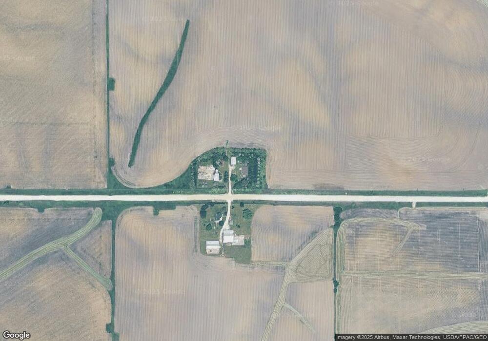
Map
Nearby Homes
- T.B.D. 275th St
- 12 Bradley Ln Unit AB12
- 63 Eisenhower St Unit GB63
- 27 Bradley Ln Unit AC27
- 33 Lou Henry Ln Unit AM33
- 35 Lou Henry Ln Unit AM35
- 3 Grant St Unit GR3
- 521 N 4th St Unit Louise Court Condos
- 557 N 4th St
- 121 Northridge Dr Unit 121-139
- 426 N 1st St
- 110 Northside Dr
- 168 290th St
- 127 N Downey St
- 1908 Charles Ave Lot 2
- 120 N Downey St
- 1912 Charles Ave Lot 3
- 316 S Maple St
- 1924 Charles Ave Lot 6
- 360 Cookson Dr
- 127 280th St
- Parcel D Northside First Addition Downey Rd
- 4 Lou Henry Ln Unit AM4
- Lot 3 - 8 Parkside Hills
- 22 Bradley Ln Unit AC22
- 95 Patton Dr Unit BC95
- 23 Bradley Ln Unit AC23
- 94 Marshall Ave Unit DB94
- 125 Pheasant Run
- 62 Eisenhower St Unit GB62
- 10 Bradley Ln Unit AB10
- 8 Bradley Ln Unit AA8
- 215 Pheasant Run
- 211 Pheasant Run
- 28 Bradley Ln Unit AC28
- 104 Marshall Ave Unit DC104
- 813 N 4th St
- 88 Marshall Ave Unit DA88
- Lot 1 Parkside Hills
- 57 Eisenhower St Unit GA57