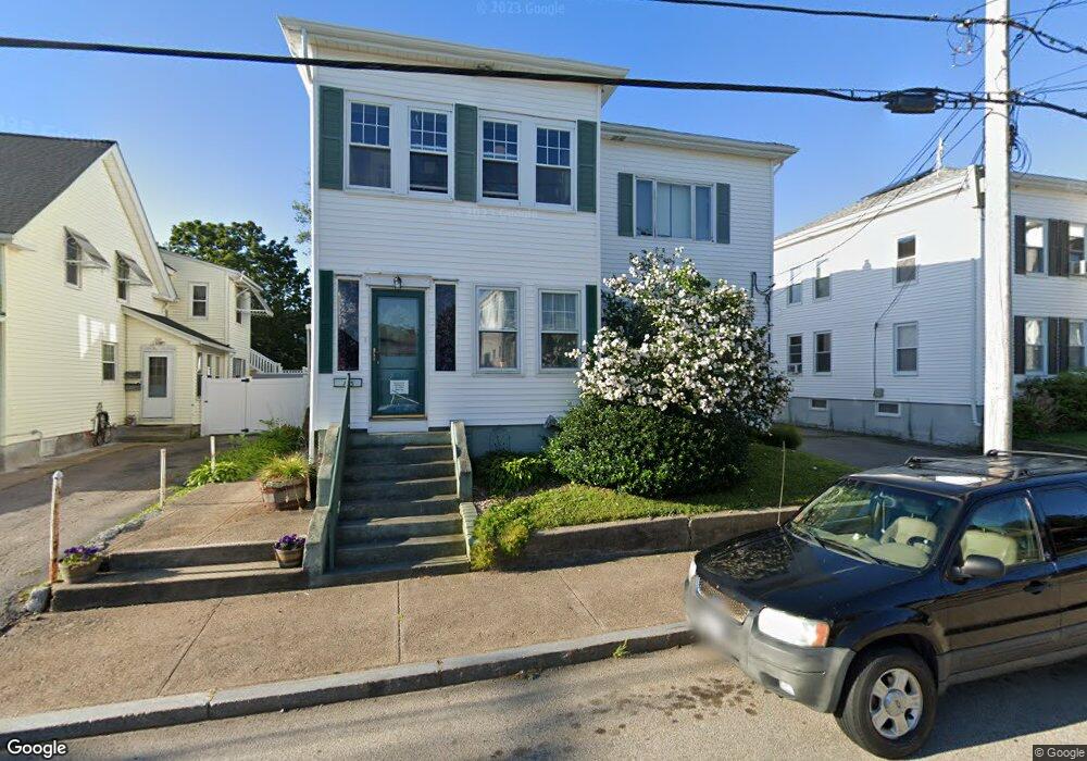
163 Carnation St Woonsocket, RI 02895
Bernon District NeighborhoodEstimated Value: $456,156 - $559,000
4
Beds
2
Baths
2,432
Sq Ft
$214/Sq Ft
Est. Value
About This Home
This home is located at 163 Carnation St, Woonsocket, RI 02895 and is currently estimated at $519,289, approximately $213 per square foot. 163 Carnation St is a home located in Providence County with nearby schools including Woonsocket High School, Founders Academy, and Beacon Charter School.
Ownership History
Date
Name
Owned For
Owner Type
Purchase Details
Closed on
Nov 6, 2008
Sold by
Hand Marilyn
Bought by
Gales Kathleen
Current Estimated Value
Purchase Details
Closed on
Jul 9, 2002
Sold by
Magnan-Dagnilo Barbara
Bought by
Hand Marilyn
Create a Home Valuation Report for This Property
The Home Valuation Report is an in-depth analysis detailing your home's value as well as a comparison with similar homes in the area
Home Values in the Area
Average Home Value in this Area
Purchase History
| Date | Buyer | Sale Price | Title Company |
|---|---|---|---|
| Gales Kathleen | $179,000 | -- | |
| Gales Kathleen | $179,000 | -- | |
| Hand Marilyn | $74,000 | -- | |
| Hand Marilyn | $148,000 | -- | |
| Hand Marilyn | $74,000 | -- |
Source: Public Records
Mortgage History
| Date | Status | Borrower | Loan Amount |
|---|---|---|---|
| Open | Hand Marilyn | $171,573 | |
| Closed | Hand Marilyn | $175,950 |
Source: Public Records
Tax History
| Year | Tax Paid | Tax Assessment Tax Assessment Total Assessment is a certain percentage of the fair market value that is determined by local assessors to be the total taxable value of land and additions on the property. | Land | Improvement |
|---|---|---|---|---|
| 2025 | $5,231 | $465,800 | $104,900 | $360,900 |
| 2024 | $4,577 | $314,800 | $93,100 | $221,700 |
| 2023 | $4,401 | $314,800 | $93,100 | $221,700 |
| 2022 | $4,401 | $314,800 | $93,100 | $221,700 |
| 2021 | $3,992 | $168,100 | $57,100 | $111,000 |
| 2020 | $4,034 | $168,100 | $57,100 | $111,000 |
| 2018 | $4,048 | $168,100 | $57,100 | $111,000 |
| 2017 | $4,383 | $145,600 | $45,700 | $99,900 |
| 2016 | $4,636 | $145,600 | $45,700 | $99,900 |
| 2015 | $5,326 | $145,600 | $45,700 | $99,900 |
| 2014 | $4,680 | $143,100 | $50,300 | $92,800 |
Source: Public Records
Map
Nearby Homes
- 87 Kermit St
- 136 Hemond Ave
- 109 Hemond Ave
- 0 Cranston St
- 103 Elmore Ave
- 1 Admiral St
- 59 Cooper Ave
- 0 Laflamme Ave
- 277 Ward St
- 0 Irving Lot 192 Ave Unit 1383138
- 0 Irving Lot 206 Ave Unit 1397321
- 122 Grand St
- 15 Knight St
- 0 Chester St
- 42 Transit St
- 479 Logee St
- 41 Summit Ave
- 36 Old Louisquisset Pike Unit 210
- 36 Old Louisquisset Pike Unit 310
- 36 Old Louisquisset Pike Unit 308
- 147 Carnation St
- 149 Carnation St
- 171 Carnation St
- 146 Carnation St
- 170 Carnation St
- 34 Cranston St
- 156 Carnation St
- 150 Carnation St
- 189 Carnation St
- 133 Carnation St
- 134 Carnation St
- 144 Newport St
- 191 Carnation St
- 141 Oakton St
- 159 Oakton St
- 134 Newport St
- 202 Carnation St
- 126 Carnation St
- 115 Carnation St
- 119 Oakton St
Your Personal Tour Guide
Ask me questions while you tour the home.