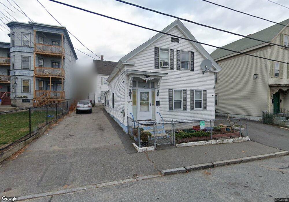
163 Cross St Unit R Lowell, MA 01854
Acre NeighborhoodEstimated Value: $430,000 - $515,000
4
Beds
3
Baths
1,983
Sq Ft
$240/Sq Ft
Est. Value
About This Home
This home is located at 163 Cross St Unit R, Lowell, MA 01854 and is currently estimated at $475,049, approximately $239 per square foot. 163 Cross St Unit R is a home located in Middlesex County with nearby schools including Charlotte M. Murkland Elementary School, Joseph McAvinnue Elementary School, and Charles W. Morey Elementary School.
Ownership History
Date
Name
Owned For
Owner Type
Purchase Details
Closed on
Mar 1, 1996
Sold by
Makrez John
Bought by
Phanvongsa Michael and Phanvongsa Syvanh
Current Estimated Value
Home Financials for this Owner
Home Financials are based on the most recent Mortgage that was taken out on this home.
Original Mortgage
$40,000
Outstanding Balance
$1,568
Interest Rate
7.02%
Mortgage Type
Purchase Money Mortgage
Estimated Equity
$473,481
Create a Home Valuation Report for This Property
The Home Valuation Report is an in-depth analysis detailing your home's value as well as a comparison with similar homes in the area
Home Values in the Area
Average Home Value in this Area
Purchase History
| Date | Buyer | Sale Price | Title Company |
|---|---|---|---|
| Phanvongsa Michael | $60,000 | -- | |
| Phanvongsa Michael | $60,000 | -- |
Source: Public Records
Mortgage History
| Date | Status | Borrower | Loan Amount |
|---|---|---|---|
| Open | Phanvongsa Michael | $40,000 | |
| Closed | Phanvongsa Michael | $40,000 |
Source: Public Records
Tax History Compared to Growth
Tax History
| Year | Tax Paid | Tax Assessment Tax Assessment Total Assessment is a certain percentage of the fair market value that is determined by local assessors to be the total taxable value of land and additions on the property. | Land | Improvement |
|---|---|---|---|---|
| 2025 | $4,708 | $410,100 | $96,600 | $313,500 |
| 2024 | $4,591 | $385,500 | $90,200 | $295,300 |
| 2023 | $4,348 | $350,100 | $78,500 | $271,600 |
| 2022 | $3,832 | $323,700 | $71,400 | $252,300 |
| 2021 | $3,832 | $284,700 | $62,000 | $222,700 |
| 2020 | $3,532 | $264,400 | $52,900 | $211,500 |
| 2019 | $3,309 | $235,700 | $46,700 | $189,000 |
| 2018 | $3,145 | $224,800 | $44,500 | $180,300 |
| 2017 | $3,102 | $207,900 | $40,500 | $167,400 |
| 2016 | $2,933 | $193,500 | $40,400 | $153,100 |
| 2015 | $2,836 | $183,200 | $41,700 | $141,500 |
| 2013 | $2,414 | $160,800 | $55,400 | $105,400 |
Source: Public Records
Map
Nearby Homes
- 41 Butterfield St
- 32 Sargent St
- 75 Bowers St
- 113 School St Unit 12
- 491 Dutton St Unit 502
- 491 Dutton St Unit 409
- 491 Dutton St Unit 403
- 491 Dutton St Unit 415
- 79 School St Unit 3
- 79 School St Unit 2
- 79 School St Unit 1
- 70 Austin St Unit 15
- 70 Austin St Unit 16
- 267 Pawtucket St
- 987 Middlesex St
- 997 Middlesex St Unit 2
- 984 Middlesex St
- 19 Lawton St
- 42 Branch St
- 440 Pawtucket St
- 163 Cross St
- 157 Cross St
- 155 Cross St
- 167 Cross St
- 162 Cross St
- 162 - 164 Cross St
- 153 Cross St
- 4 Cross Street Ave
- 5 Cross Street Ave
- 164 Cross St
- 156 Cross St
- 175 Cross St
- 147 Cross St
- 149 Cross St
- 56 Butterfield St
- 3 Cross Street Ave
- 52 Butterfield St
- 154 Cross St
- 6 Cross Street Ave
- 184 Mount Vernon St