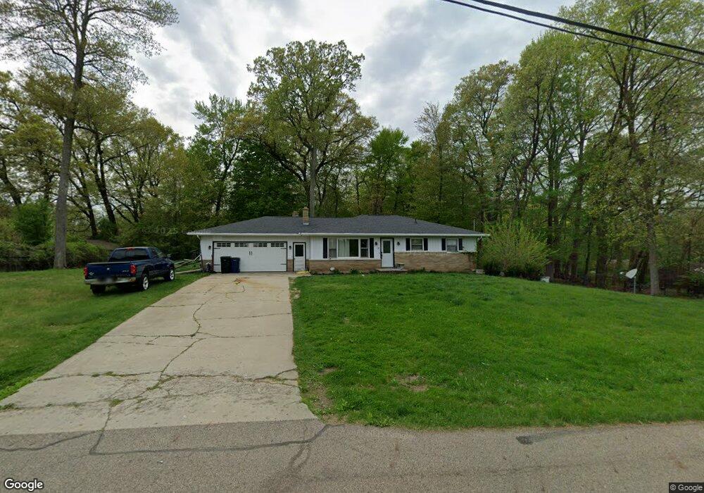
163 Hanson Dr Battle Creek, MI 49017
Estimated Value: $248,000 - $312,000
3
Beds
3
Baths
1,226
Sq Ft
$222/Sq Ft
Est. Value
About This Home
This home is located at 163 Hanson Dr, Battle Creek, MI 49017 and is currently estimated at $271,776, approximately $221 per square foot. 163 Hanson Dr is a home located in Calhoun County with nearby schools including Thomas M. Ryan Intermediate School, Gull Lake Middle School, and Gull Lake High School.
Ownership History
Date
Name
Owned For
Owner Type
Purchase Details
Closed on
May 8, 2019
Sold by
Miller David and Miller Denna
Bought by
Moore Kody and Miller Ann Marie
Current Estimated Value
Home Financials for this Owner
Home Financials are based on the most recent Mortgage that was taken out on this home.
Original Mortgage
$135,800
Outstanding Balance
$119,153
Interest Rate
4.1%
Mortgage Type
New Conventional
Estimated Equity
$152,623
Purchase Details
Closed on
Oct 1, 2012
Sold by
Miller Joseph and Miller Phyllis
Bought by
Miller David and Miller Denna
Create a Home Valuation Report for This Property
The Home Valuation Report is an in-depth analysis detailing your home's value as well as a comparison with similar homes in the area
Home Values in the Area
Average Home Value in this Area
Purchase History
| Date | Buyer | Sale Price | Title Company |
|---|---|---|---|
| Moore Kody | $140,000 | None Available | |
| Miller David | $30,000 | None Available | |
| Miller David | -- | None Available |
Source: Public Records
Mortgage History
| Date | Status | Borrower | Loan Amount |
|---|---|---|---|
| Open | Miller David | $135,800 |
Source: Public Records
Tax History Compared to Growth
Tax History
| Year | Tax Paid | Tax Assessment Tax Assessment Total Assessment is a certain percentage of the fair market value that is determined by local assessors to be the total taxable value of land and additions on the property. | Land | Improvement |
|---|---|---|---|---|
| 2025 | $2,332 | $123,100 | $0 | $0 |
| 2024 | $713 | $107,800 | $0 | $0 |
| 2023 | $2,083 | $94,800 | $0 | $0 |
| 2022 | $647 | $78,400 | $0 | $0 |
| 2021 | $2,026 | $73,400 | $0 | $0 |
| 2020 | $2,014 | $70,400 | $0 | $0 |
| 2019 | $1,213 | $65,700 | $0 | $0 |
| 2018 | $0 | $66,100 | $7,700 | $58,400 |
| 2017 | $2,707 | $69,200 | $0 | $0 |
| 2016 | $2,707 | $58,900 | $0 | $0 |
| 2015 | -- | $49,900 | $11,626 | $38,274 |
| 2014 | -- | $56,350 | $11,626 | $44,724 |
Source: Public Records
Map
Nearby Homes
- 120 Roxbury Ln
- 230 Roxbury Ln
- 113 Blueberry Ln
- 139 Duane Ave
- 275 N Uldriks Dr
- 235 Oak St
- 3192 Michigan Ave W
- 3600 Michigan Ave W
- 2901 Michigan Ave W
- 132 Oriole Dr
- 111 Virginia Ave
- 193 S Finlay Ave
- 21763 Collier Ave
- 21026 Dana Dr
- 338 Cross St
- 144 Maxine Place
- 117 Robin Ave S
- 128 Quail St
- 420 Presidential Dr
- 112 Feld Ave