163 Hartshorn Rd Barnstead, NH 03218
Estimated Value: $565,000 - $662,000
1
Bed
--
Bath
2,938
Sq Ft
$213/Sq Ft
Est. Value
About This Home
This home is located at 163 Hartshorn Rd, Barnstead, NH 03218 and is currently estimated at $625,818, approximately $213 per square foot. 163 Hartshorn Rd is a home with nearby schools including Barnstead Elementary School and Prospect Mountain High School.
Ownership History
Date
Name
Owned For
Owner Type
Purchase Details
Closed on
Oct 24, 2022
Sold by
Santos Elizabeth G
Bought by
E G Santos Ret
Current Estimated Value
Purchase Details
Closed on
Mar 17, 2008
Sold by
Demers Charles and Demers Tracy
Bought by
Santos Wayne W and Garramone Elizabeth M
Home Financials for this Owner
Home Financials are based on the most recent Mortgage that was taken out on this home.
Original Mortgage
$190,000
Interest Rate
5.72%
Mortgage Type
Purchase Money Mortgage
Purchase Details
Closed on
Oct 5, 2000
Sold by
Beairsto Joyce H
Bought by
Demers Charles and Demers Tracy
Home Financials for this Owner
Home Financials are based on the most recent Mortgage that was taken out on this home.
Original Mortgage
$10,000
Interest Rate
7.96%
Create a Home Valuation Report for This Property
The Home Valuation Report is an in-depth analysis detailing your home's value as well as a comparison with similar homes in the area
Home Values in the Area
Average Home Value in this Area
Purchase History
| Date | Buyer | Sale Price | Title Company |
|---|---|---|---|
| E G Santos Ret | -- | None Available | |
| Santos Wayne W | $290,000 | -- | |
| Demers Charles | $12,000 | -- |
Source: Public Records
Mortgage History
| Date | Status | Borrower | Loan Amount |
|---|---|---|---|
| Previous Owner | Demers Charles | $181,175 | |
| Previous Owner | Demers Charles | $190,000 | |
| Previous Owner | Demers Charles | $10,000 |
Source: Public Records
Tax History Compared to Growth
Tax History
| Year | Tax Paid | Tax Assessment Tax Assessment Total Assessment is a certain percentage of the fair market value that is determined by local assessors to be the total taxable value of land and additions on the property. | Land | Improvement |
|---|---|---|---|---|
| 2024 | $9,445 | $579,100 | $130,500 | $448,600 |
| 2023 | $8,310 | $579,100 | $130,500 | $448,600 |
| 2022 | $7,549 | $349,500 | $63,200 | $286,300 |
| 2021 | $7,675 | $349,500 | $63,200 | $286,300 |
| 2020 | $7,573 | $349,500 | $63,200 | $286,300 |
| 2019 | $7,979 | $349,500 | $63,200 | $286,300 |
| 2018 | $6,570 | $349,500 | $63,200 | $286,300 |
| 2017 | $6,361 | $251,400 | $49,000 | $202,400 |
| 2016 | $6,351 | $251,400 | $49,000 | $202,400 |
| 2015 | $6,826 | $251,400 | $49,000 | $202,400 |
| 2014 | $6,232 | $260,100 | $49,000 | $211,100 |
| 2013 | $6,112 | $260,100 | $49,000 | $211,100 |
Source: Public Records
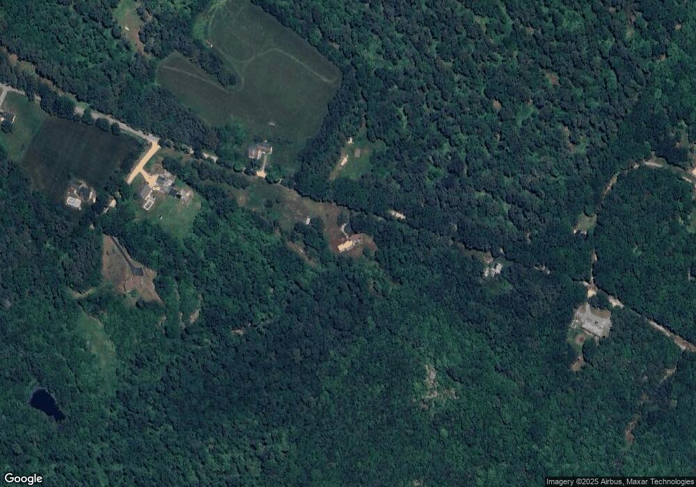
Map
Nearby Homes
- M2-l29-2 Province Rd
- L33 Province Rd
- 4 Parade Cir
- 4 Sandy Point Rd
- 11 Gray Rd
- 22-54 Red Oak Rd
- 449 Tilton Hill Rd
- 41 Pinepark Dr
- 85 Province Rd
- 109 Shackford Corner Rd
- 93 E Huntress Pond Rd
- 260 Garland Rd
- 0 Shaw Rd Unit 36-1
- 371 Province Rd
- 81 Winant Rd
- 572 S Barnstead Rd
- 277 Shackford Corner Rd
- M10 L26-3 Valley Dam Rd
- 4 Berry Ave
- L68-1 Vail Rd
- 146 Hartshorn Rd
- 189 Hartshorn Rd
- 22 Bunker Rd
- 202 Hartshorn Rd
- 17 Bunker Rd
- 101 Hartshorn Rd
- 26 Hartshorn Rd
- 85 Hartshorn Rd
- 74 Hartshorn Rd
- 71 Hartshorn Rd
- 828 Province Rd
- 886 Province Rd
- 881 Province Rd
- 288 Hartshorn Rd
- 802 Province Rd
- 796 Province Rd
- 819 Province Rd
- 920 Province Rd
- 8 Bunker Rd
- 774 Province Rd