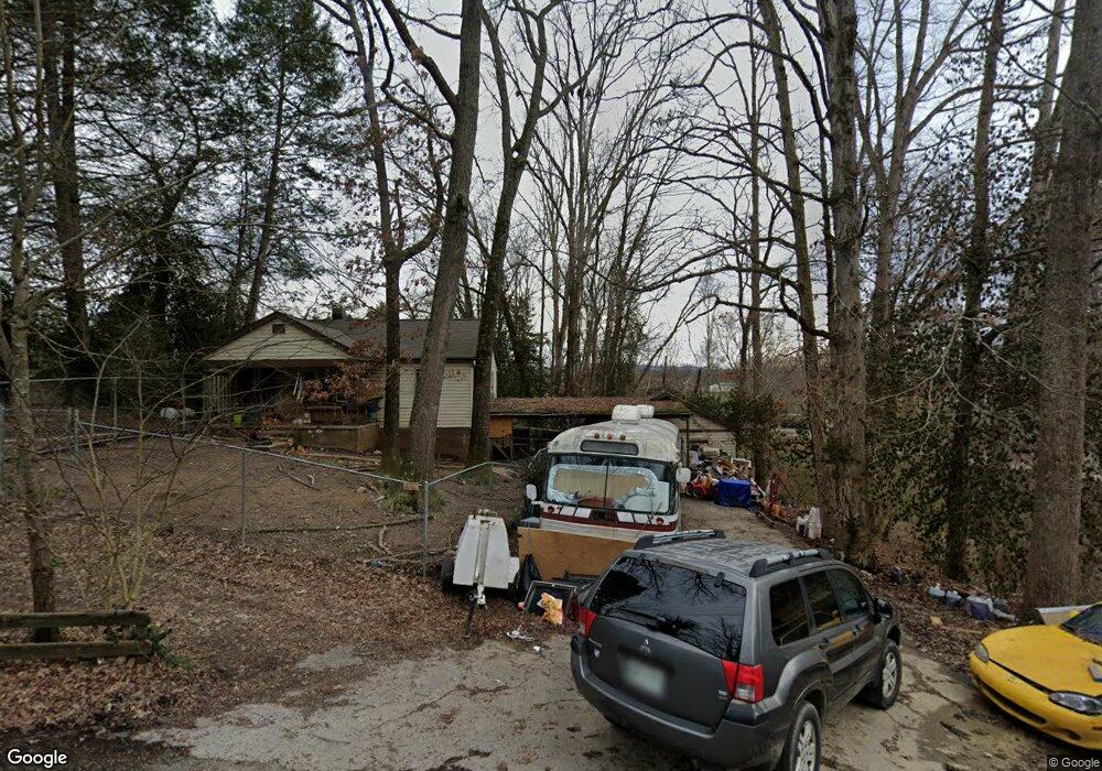
163 Maples Rd Knoxville, TN 37920
Estimated Value: $151,000 - $318,000
--
Bed
1
Bath
888
Sq Ft
$249/Sq Ft
Est. Value
About This Home
This home is located at 163 Maples Rd, Knoxville, TN 37920 and is currently estimated at $221,446, approximately $249 per square foot. 163 Maples Rd is a home located in Blount County with nearby schools including Prospect Elementary School, Heritage Middle School, and Heritage High School.
Ownership History
Date
Name
Owned For
Owner Type
Purchase Details
Closed on
Apr 25, 2002
Sold by
Mccormick Scottie
Bought by
Boice Ellen
Current Estimated Value
Home Financials for this Owner
Home Financials are based on the most recent Mortgage that was taken out on this home.
Original Mortgage
$71,631
Outstanding Balance
$30,245
Interest Rate
7.07%
Estimated Equity
$191,201
Purchase Details
Closed on
Nov 4, 1998
Sold by
Mccormick Scottie and Mccormick Angel
Bought by
Mccormick Scottie
Purchase Details
Closed on
Feb 5, 1948
Bought by
Trentham Lonnie E and Trentham Mary J
Create a Home Valuation Report for This Property
The Home Valuation Report is an in-depth analysis detailing your home's value as well as a comparison with similar homes in the area
Home Values in the Area
Average Home Value in this Area
Purchase History
| Date | Buyer | Sale Price | Title Company |
|---|---|---|---|
| Boice Ellen | $72,200 | -- | |
| Mccormick Scottie | $59,900 | -- | |
| Trentham Lonnie E | -- | -- |
Source: Public Records
Mortgage History
| Date | Status | Borrower | Loan Amount |
|---|---|---|---|
| Open | Trentham Lonnie E | $71,631 |
Source: Public Records
Tax History Compared to Growth
Tax History
| Year | Tax Paid | Tax Assessment Tax Assessment Total Assessment is a certain percentage of the fair market value that is determined by local assessors to be the total taxable value of land and additions on the property. | Land | Improvement |
|---|---|---|---|---|
| 2025 | $595 | $37,425 | $0 | $0 |
| 2024 | $595 | $37,425 | $4,575 | $32,850 |
| 2023 | $595 | $37,425 | $4,575 | $32,850 |
| 2022 | $514 | $20,825 | $3,625 | $17,200 |
| 2021 | $514 | $20,825 | $3,625 | $17,200 |
| 2020 | $514 | $20,825 | $3,625 | $17,200 |
| 2019 | $514 | $20,825 | $3,625 | $17,200 |
| 2018 | $458 | $18,550 | $3,225 | $15,325 |
| 2017 | $458 | $18,550 | $3,225 | $15,325 |
| 2016 | $458 | $18,550 | $3,225 | $15,325 |
| 2015 | $399 | $18,550 | $3,225 | $15,325 |
| 2014 | $406 | $18,550 | $3,225 | $15,325 |
| 2013 | $406 | $18,875 | $0 | $0 |
Source: Public Records
Map
Nearby Homes
- 10023 Chapman Hwy
- The Marigold Plan at Chapman Trace
- The Lily Plan at Chapman Trace
- 8851 Chapman Trace Way
- 8852 Chapman Trace Way
- 8849 Chapman Trace Way
- 8847 Chapman Trace Way
- 8848 Chapman Trace Way
- 8845 Chapman Trace Way
- 8846 Chapman Trace Way
- 8840 Chapman Trace Way
- 8838 Chapman Trace Way
- 9115 Chapman Hwy Unit A
- 8827 Chapman Trace Way
- 8825 Chapman Trace Way
- 204 Joy St
- 8823 Chapman Trace Way
- 8710 Chapman Trace Way
- 8708 Chapman Trace Way
- 8706 Chapman Trace Way