163 S 920 E American Fork, UT 84003
Estimated Value: $405,000 - $433,000
2
Beds
2
Baths
1,395
Sq Ft
$302/Sq Ft
Est. Value
About This Home
This home is located at 163 S 920 E, American Fork, UT 84003 and is currently estimated at $420,687, approximately $301 per square foot. 163 S 920 E is a home located in Utah County with nearby schools including Barratt Elementary School, American Fork Junior High School, and American Fork High School.
Ownership History
Date
Name
Owned For
Owner Type
Purchase Details
Closed on
Jan 25, 2024
Sold by
Hansen Gordon J and Hansen Karen A
Bought by
Gordon And Karen Hansen Family Trust and Hansen
Current Estimated Value
Purchase Details
Closed on
May 2, 2007
Sold by
Haymaker Retreat Llc
Bought by
Hansen Gordon J and Hansen Karen A
Home Financials for this Owner
Home Financials are based on the most recent Mortgage that was taken out on this home.
Original Mortgage
$214,700
Interest Rate
6.15%
Mortgage Type
Purchase Money Mortgage
Create a Home Valuation Report for This Property
The Home Valuation Report is an in-depth analysis detailing your home's value as well as a comparison with similar homes in the area
Home Values in the Area
Average Home Value in this Area
Purchase History
| Date | Buyer | Sale Price | Title Company |
|---|---|---|---|
| Gordon And Karen Hansen Family Trust | -- | None Listed On Document | |
| Hansen Gordon J | -- | Utah First Title Insurance |
Source: Public Records
Mortgage History
| Date | Status | Borrower | Loan Amount |
|---|---|---|---|
| Previous Owner | Hansen Gordon J | $214,700 |
Source: Public Records
Tax History
| Year | Tax Paid | Tax Assessment Tax Assessment Total Assessment is a certain percentage of the fair market value that is determined by local assessors to be the total taxable value of land and additions on the property. | Land | Improvement |
|---|---|---|---|---|
| 2025 | $2,156 | $222,255 | -- | -- |
| 2024 | $2,156 | $239,525 | $0 | $0 |
| 2023 | $1,812 | $213,455 | $0 | $0 |
| 2022 | $1,861 | $216,370 | $0 | $0 |
| 2021 | $1,791 | $325,200 | $39,000 | $286,200 |
| 2020 | $1,644 | $289,600 | $34,800 | $254,800 |
| 2019 | $1,514 | $275,800 | $32,800 | $243,000 |
| 2018 | $1,258 | $219,000 | $26,300 | $192,700 |
| 2017 | $1,211 | $113,850 | $0 | $0 |
| 2016 | $1,190 | $103,950 | $0 | $0 |
| 2015 | $1,195 | $99,000 | $0 | $0 |
| 2014 | $1,029 | $84,150 | $0 | $0 |
Source: Public Records
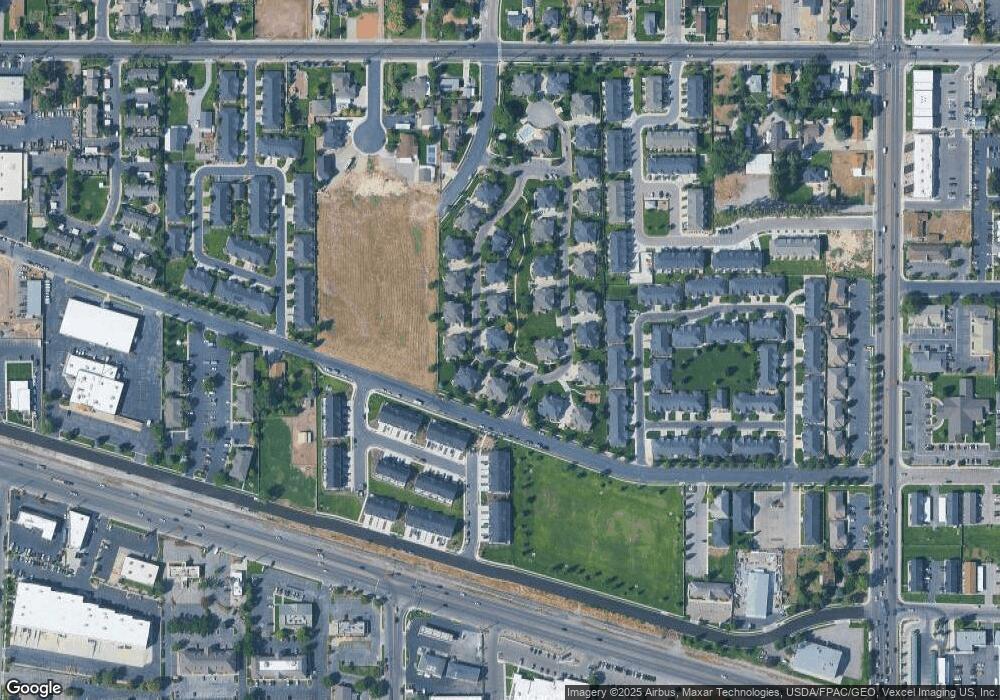
Map
Nearby Homes
- 159 S 920 E
- 159 S 920 E Unit 307
- 161 S 920 E Unit 308
- 145 S 920 E
- 143 S 920 E
- 147 S 920 E
- 143 S 920 E Unit 306
- 147 S 920 E Unit 304
- 152 S 920 E
- 152 S 920 E Unit 319
- 176 S 920 E
- 176 S 920 E Unit 317
- 174 S 920 E
- 174 S 920 E Unit 316
- 154 S 920 E Unit 320
- 320 E 920 N
- 178 S 920 E
- 178 S 920 E Unit 318
- 186 S 920 E
- 182 S 920 E
Your Personal Tour Guide
Ask me questions while you tour the home.