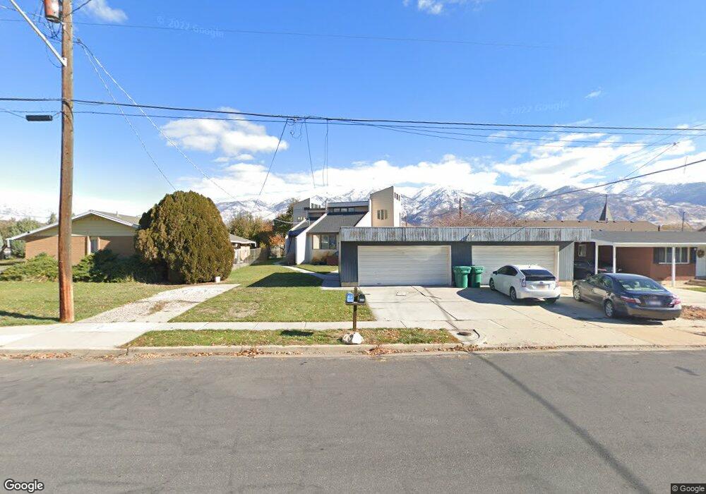
163 S Whitesides St Layton, UT 84041
Estimated Value: $620,000 - $791,000
5
Beds
4
Baths
3,400
Sq Ft
$206/Sq Ft
Est. Value
About This Home
This home is located at 163 S Whitesides St, Layton, UT 84041 and is currently estimated at $699,763, approximately $205 per square foot. 163 S Whitesides St is a home located in Davis County with nearby schools including Whitesides Elementary School, Fairfield Junior High School, and Layton High School.
Ownership History
Date
Name
Owned For
Owner Type
Purchase Details
Closed on
Sep 15, 2017
Sold by
Stathis Boston John
Bought by
Stathis Boston John and Graf Adrienne
Current Estimated Value
Purchase Details
Closed on
Mar 14, 2016
Sold by
Monie Douglas
Bought by
Stathis Boston J
Purchase Details
Closed on
Oct 16, 2006
Sold by
Nokes Troy and Nokes Sandra
Bought by
Monie Douglas
Home Financials for this Owner
Home Financials are based on the most recent Mortgage that was taken out on this home.
Original Mortgage
$22,990
Interest Rate
6.39%
Mortgage Type
Unknown
Create a Home Valuation Report for This Property
The Home Valuation Report is an in-depth analysis detailing your home's value as well as a comparison with similar homes in the area
Home Values in the Area
Average Home Value in this Area
Purchase History
| Date | Buyer | Sale Price | Title Company |
|---|---|---|---|
| Stathis Boston John | -- | -- | |
| Stathis Boston J | -- | Backman Title Services | |
| Monie Douglas | -- | First American Title |
Source: Public Records
Mortgage History
| Date | Status | Borrower | Loan Amount |
|---|---|---|---|
| Previous Owner | Monie Douglas | $22,990 | |
| Previous Owner | Monie Douglas | $206,910 |
Source: Public Records
Tax History Compared to Growth
Tax History
| Year | Tax Paid | Tax Assessment Tax Assessment Total Assessment is a certain percentage of the fair market value that is determined by local assessors to be the total taxable value of land and additions on the property. | Land | Improvement |
|---|---|---|---|---|
| 2025 | $3,636 | $381,700 | $127,580 | $254,120 |
| 2024 | $3,537 | $374,000 | $146,953 | $227,047 |
| 2023 | $3,396 | $633,000 | $159,682 | $473,318 |
| 2022 | $3,565 | $360,801 | $88,820 | $271,981 |
| 2021 | $3,498 | $528,000 | $137,098 | $390,902 |
| 2020 | $3,225 | $467,000 | $109,970 | $357,030 |
| 2019 | $3,236 | $459,000 | $99,762 | $359,238 |
| 2018 | $2,767 | $394,000 | $99,762 | $294,238 |
| 2016 | $2,119 | $155,650 | $26,645 | $129,005 |
| 2015 | $2,192 | $152,845 | $26,645 | $126,200 |
| 2014 | $1,935 | $137,982 | $26,645 | $111,337 |
| 2013 | -- | $136,019 | $24,682 | $111,337 |
Source: Public Records
Map
Nearby Homes
- 110 Mill Rd
- 86 Mill Rd
- 617 E 405 S
- 942 E Gentile St
- 389 Morgan St
- 818 Creekside Dr
- 493 E Alice Way
- 457 E Alice Way Unit 102
- 1168 Holmes Creek Ln
- 696 S Clearwater Falls Dr
- 282 E 925 S
- 685 S Pheasant View Dr
- 268 E 900 S
- 772 N Crimson Ln
- 142 Green Dr
- 1336 E Maple Way
- 431 N 1050 E
- 1247 E 300 N
- 877 S Main St Unit B
- 508 N Adamswood Rd