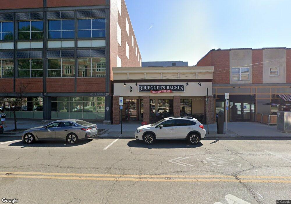
1630 Neil Ave Columbus, OH 43201
--
Bed
--
Bath
2,550
Sq Ft
5,227
Sq Ft Lot
About This Home
This home is located at 1630 Neil Ave, Columbus, OH 43201. 1630 Neil Ave is a home located in Franklin County with nearby schools including Hubbard Elementary School, Dominion Middle School, and Whetstone High School.
Ownership History
Date
Name
Owned For
Owner Type
Purchase Details
Closed on
Oct 17, 2014
Sold by
Ohio State Of Univercity
Bought by
Redstone Reality Company Llc
Purchase Details
Closed on
Aug 25, 2010
Sold by
Nurtur Property 1630 Llc
Bought by
The State Of Ohio and The Ohio State University
Purchase Details
Closed on
Jan 5, 2007
Sold by
Gardiner John B and Gardiner Louise
Bought by
Nurtur Property 1630 Llc
Purchase Details
Closed on
Sep 26, 1968
Bought by
Gardiner John B
Create a Home Valuation Report for This Property
The Home Valuation Report is an in-depth analysis detailing your home's value as well as a comparison with similar homes in the area
Home Values in the Area
Average Home Value in this Area
Purchase History
| Date | Buyer | Sale Price | Title Company |
|---|---|---|---|
| Redstone Reality Company Llc | -- | Stewart Title Box | |
| The State Of Ohio | -- | Independent | |
| Nurtur Property 1630 Llc | $375,000 | Warranty Ti | |
| Gardiner John B | -- | -- |
Source: Public Records
Tax History Compared to Growth
Tax History
| Year | Tax Paid | Tax Assessment Tax Assessment Total Assessment is a certain percentage of the fair market value that is determined by local assessors to be the total taxable value of land and additions on the property. | Land | Improvement |
|---|---|---|---|---|
| 2024 | $12,727 | $171,470 | $36,750 | $134,720 |
| 2023 | $12,526 | $171,465 | $36,750 | $134,715 |
| 2022 | $12,009 | $160,130 | $31,710 | $128,420 |
| 2021 | $12,060 | $160,130 | $31,710 | $128,420 |
| 2020 | $11,977 | $160,130 | $31,710 | $128,420 |
| 2019 | $11,467 | $139,230 | $27,580 | $111,650 |
| 2018 | $5,998 | $139,230 | $27,580 | $111,650 |
| 2017 | $11,454 | $139,230 | $27,580 | $111,650 |
| 2016 | $12,184 | $140,000 | $27,580 | $112,420 |
| 2015 | $5,939 | $140,000 | $27,580 | $112,420 |
| 2014 | $11,307 | $140,000 | $27,580 | $112,420 |
| 2013 | $5,602 | $140,000 | $27,580 | $112,420 |
Source: Public Records
Map
Nearby Homes
- 343 King Ave Unit 345
- 1438-1440 Hunter Ave
- 396 W 7th Ave
- 93 King Ave Unit 95
- 154-156 W 6th Ave
- 42 King Ave
- 398 W 5th Ave
- 1298 Hunter Ave
- 49 Euclid Ave
- 6 1/2 Clark Place
- 1245 Pennsylvania Ave
- 63 Smith Place
- 170 Chittenden Ave Unit 168
- 512 Riverfront Ln
- 1276 N High St Unit 206
- 1276 N High St Unit 402
- 1410 Indianola Ave
- 1404 Indianola Ave
- 516 Riverfront Ln
- 1325 Indianola Ave Unit 325
- 250 W 10th Ave Unit 252
- 0 Neil Ave
- 253 W 10th Ave
- 235 E 11th Ave
- 1568 Neil Ave
- 242 W 9th Ave
- 0 W 9th Ave
- 1555 Neil Ave
- 1550 Neil Ave Unit A
- 1540 Neil Ave
- 178 W 11th Ave
- 0 W 12th Ave Unit 213029931
- 0 W 12th Ave
- 1530 Neil Ave
- 1531-1535 Neil Ave
- 190 W 9th Ave
- 1520 Neil Ave
- 195 W 9th Ave
- 240 W 8th Ave
- 252 W 8th Ave
