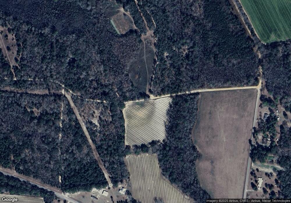
1630 Ronnie Oliver Rd Collins, GA 30421
Estimated Value: $194,000 - $355,271
--
Bed
2
Baths
1,430
Sq Ft
$211/Sq Ft
Est. Value
About This Home
This home is located at 1630 Ronnie Oliver Rd, Collins, GA 30421 and is currently estimated at $301,090, approximately $210 per square foot. 1630 Ronnie Oliver Rd is a home located in Tattnall County with nearby schools including Tattnall County High School.
Ownership History
Date
Name
Owned For
Owner Type
Purchase Details
Closed on
Mar 5, 2019
Sold by
Oliver Ronnie
Bought by
Bank Of Soperton
Current Estimated Value
Purchase Details
Closed on
Jun 30, 2000
Sold by
Anderson Phil R
Bought by
Oliver Ronnie and Oliver Stacy
Purchase Details
Closed on
Apr 19, 1994
Bought by
Oliver Ronnie L and Oliver Stacy
Create a Home Valuation Report for This Property
The Home Valuation Report is an in-depth analysis detailing your home's value as well as a comparison with similar homes in the area
Home Values in the Area
Average Home Value in this Area
Purchase History
| Date | Buyer | Sale Price | Title Company |
|---|---|---|---|
| Bank Of Soperton | $174,400 | -- | |
| Oliver Ronnie | $35,000 | -- | |
| Oliver Ronnie L | $20,500 | -- |
Source: Public Records
Tax History Compared to Growth
Tax History
| Year | Tax Paid | Tax Assessment Tax Assessment Total Assessment is a certain percentage of the fair market value that is determined by local assessors to be the total taxable value of land and additions on the property. | Land | Improvement |
|---|---|---|---|---|
| 2024 | $1,674 | $109,836 | $67,040 | $42,796 |
| 2023 | $1,376 | $109,836 | $67,040 | $42,796 |
| 2022 | $1,839 | $103,676 | $67,040 | $36,636 |
| 2021 | $1,447 | $96,528 | $64,520 | $32,008 |
| 2020 | $1,436 | $96,528 | $64,520 | $32,008 |
| 2019 | $1,369 | $83,708 | $54,160 | $29,548 |
| 2018 | $1,461 | $83,708 | $54,160 | $29,548 |
| 2017 | $1,116 | $83,708 | $54,160 | $29,548 |
| 2016 | $1,305 | $81,596 | $54,160 | $27,436 |
| 2015 | -- | $81,676 | $54,160 | $27,516 |
| 2014 | -- | $27,728 | $2,760 | $24,968 |
| 2013 | -- | $82,288 | $54,160 | $28,128 |
Source: Public Records
Map
Nearby Homes
- 27746 Ga Highway 23
- 563 Sawmill Rd
- 628 Pearl St
- 125 Rudolph Rd
- 75 Rudolph Rd
- 1060 Georgia 292
- 513 N Main St
- 611 NE Pearl St
- 528 N Main Hwy 23
- 114 Victory Dr
- 110 Glenview Dr
- 108 Mccall Ave
- 186 E Brumby Ave
- 104 Azalea Ln
- 0 U S Highway 280
- 120 James St
- 154 James St
- 177 W Brazell St
- 144 Tattnall St
- 182 Tattnall St
- 0 Tbd Alexander Rd Unit 9040638
- TBD Alexander Rd
- 0 Alexander Rd Unit 9075575
- 149 Hillcrest Dr
- 1041 Hammer Sikes Rd
- 0 SW Live Oak Rd Unit 8055451
- 0 Live Oak St Unit 8061785
- 0 Live Oak St Unit 15023
- 27418 Ga Highway 23
- 1056 Hammer Sikes Rd
- 27388 Ga Highway 23
- 27409 Ga Highway 23
- 28349 Ga Highway 23
- 27306 Ga Highway 23
- 779 Hammer Sikes Rd
- 21 Billy Alexander Rd
- 30 Smith Ln
- 243 Ansley Ander Ave
- 243 Ansley Ander Ave
- 26902 Ga Highway 23
