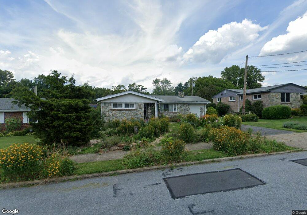
1630 Stanford Rd Bethlehem, PA 18018
West Bethlehem NeighborhoodEstimated Value: $333,221 - $361,000
3
Beds
2
Baths
1,174
Sq Ft
$293/Sq Ft
Est. Value
About This Home
This home is located at 1630 Stanford Rd, Bethlehem, PA 18018 and is currently estimated at $344,055, approximately $293 per square foot. 1630 Stanford Rd is a home located in Lehigh County with nearby schools including James Buchanan Elementary School, Nitschmann Middle School, and Liberty High School.
Ownership History
Date
Name
Owned For
Owner Type
Purchase Details
Closed on
Nov 10, 2004
Sold by
Depaola Michael A
Bought by
Danko Andrew G
Current Estimated Value
Home Financials for this Owner
Home Financials are based on the most recent Mortgage that was taken out on this home.
Original Mortgage
$120,000
Interest Rate
5.8%
Mortgage Type
Purchase Money Mortgage
Purchase Details
Closed on
Sep 3, 1998
Sold by
Depaola Michael A and Depaola Georgene H
Bought by
Depaola Michael A
Purchase Details
Closed on
Nov 21, 1990
Sold by
Miller Edwin J and Miller Clara K
Bought by
Depaola Michael A and Depaola Georgene H
Create a Home Valuation Report for This Property
The Home Valuation Report is an in-depth analysis detailing your home's value as well as a comparison with similar homes in the area
Home Values in the Area
Average Home Value in this Area
Purchase History
| Date | Buyer | Sale Price | Title Company |
|---|---|---|---|
| Danko Andrew G | $178,000 | -- | |
| Depaola Michael A | -- | -- | |
| Depaola Michael A | $115,000 | -- |
Source: Public Records
Mortgage History
| Date | Status | Borrower | Loan Amount |
|---|---|---|---|
| Closed | Danko Andrew G | $120,000 |
Source: Public Records
Tax History Compared to Growth
Tax History
| Year | Tax Paid | Tax Assessment Tax Assessment Total Assessment is a certain percentage of the fair market value that is determined by local assessors to be the total taxable value of land and additions on the property. | Land | Improvement |
|---|---|---|---|---|
| 2025 | $4,694 | $163,400 | $27,300 | $136,100 |
| 2024 | $4,641 | $163,400 | $27,300 | $136,100 |
| 2023 | $4,600 | $163,400 | $27,300 | $136,100 |
| 2022 | $4,675 | $163,400 | $136,100 | $27,300 |
| 2021 | $4,654 | $163,400 | $27,300 | $136,100 |
| 2020 | $4,505 | $163,400 | $27,300 | $136,100 |
| 2019 | $4,538 | $163,400 | $27,300 | $136,100 |
| 2018 | $4,449 | $163,400 | $27,300 | $136,100 |
| 2017 | $4,252 | $163,400 | $27,300 | $136,100 |
| 2016 | -- | $163,400 | $27,300 | $136,100 |
| 2015 | -- | $163,400 | $27,300 | $136,100 |
| 2014 | -- | $163,400 | $27,300 | $136,100 |
Source: Public Records
Map
Nearby Homes
- 1541 Stanford Rd
- 1011 Highland Ave
- 922 Beverly Ave
- 1559 Kelchner Rd
- 1768 W Union Blvd
- 1209 Manchester Rd
- 1918 Pinehurst Rd
- 1440 Greenview Dr
- 1198 Pennsylvania Ave
- 650 Highland Ave
- 1334 W Union Blvd
- 1309 Greenview Dr
- 1556 Bayberry Ln
- 1853 Richmond Ave
- 1336 Greenview Dr
- 2180 Pinehurst Rd
- 1247 Birchwood Dr
- 1512 W Broad St
- 635 11th Ave
- 2035 W Broad St