1630 W Clay St Mount Pleasant, IA 52641
Estimated Value: $293,000 - $328,000
5
Beds
6
Baths
1,816
Sq Ft
$171/Sq Ft
Est. Value
About This Home
This home is located at 1630 W Clay St, Mount Pleasant, IA 52641 and is currently estimated at $310,973, approximately $171 per square foot. 1630 W Clay St is a home with nearby schools including Mount Pleasant High School and Mount Pleasant Christian School.
Ownership History
Date
Name
Owned For
Owner Type
Purchase Details
Closed on
Apr 16, 2014
Sold by
King Rita Russell
Bought by
Bjork Curtis L and Bjork Laura A Miller
Current Estimated Value
Home Financials for this Owner
Home Financials are based on the most recent Mortgage that was taken out on this home.
Original Mortgage
$140,000
Outstanding Balance
$106,706
Interest Rate
4.41%
Mortgage Type
Future Advance Clause Open End Mortgage
Estimated Equity
$204,267
Create a Home Valuation Report for This Property
The Home Valuation Report is an in-depth analysis detailing your home's value as well as a comparison with similar homes in the area
Home Values in the Area
Average Home Value in this Area
Purchase History
| Date | Buyer | Sale Price | Title Company |
|---|---|---|---|
| Bjork Curtis L | $175,000 | None Available |
Source: Public Records
Mortgage History
| Date | Status | Borrower | Loan Amount |
|---|---|---|---|
| Open | Bjork Curtis L | $140,000 |
Source: Public Records
Tax History Compared to Growth
Tax History
| Year | Tax Paid | Tax Assessment Tax Assessment Total Assessment is a certain percentage of the fair market value that is determined by local assessors to be the total taxable value of land and additions on the property. | Land | Improvement |
|---|---|---|---|---|
| 2025 | $5,178 | $316,050 | $39,160 | $276,890 |
| 2024 | $4,906 | $291,830 | $39,160 | $252,670 |
| 2023 | $5,334 | $291,830 | $39,160 | $252,670 |
| 2022 | $5,200 | $257,650 | $39,160 | $218,490 |
| 2021 | $5,200 | $257,650 | $39,160 | $218,490 |
| 2020 | $5,120 | $244,800 | $39,160 | $205,640 |
| 2019 | $4,634 | $224,090 | $0 | $0 |
| 2018 | $4,452 | $224,090 | $0 | $0 |
| 2017 | $4,452 | $199,480 | $0 | $0 |
| 2016 | $3,868 | $199,480 | $0 | $0 |
| 2015 | $3,868 | $167,170 | $0 | $0 |
| 2014 | $3,356 | $167,170 | $0 | $0 |
Source: Public Records
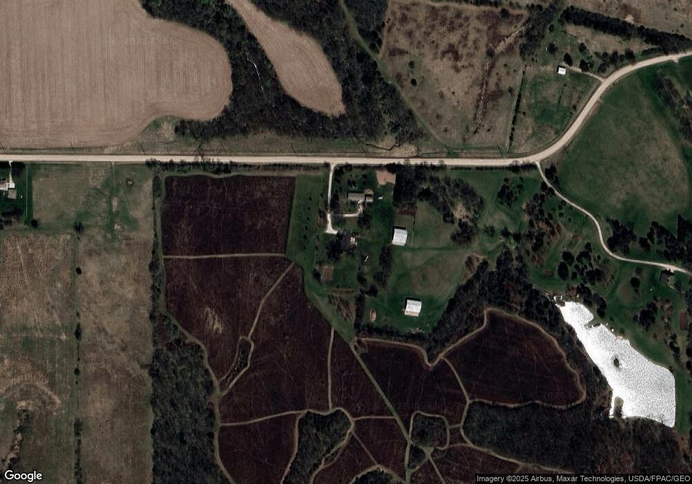
Map
Nearby Homes
- 0 W Clay St
- 0 Clay St W
- 2100 W Washington St
- Lot 4 S Hoaglin Dr
- Lot 3 S Hoaglin Dr
- Lot 1 S Hoaglin Dr
- 810 W Washington St
- 210 W Corry Ct
- 0 Oakland Mills Rd
- 1206 W Saunders St
- 1571 Oakland Mills Rd
- 300 W Yocum Ln
- 502 S White St
- 301 N Lafayette St
- 700 W Henry St
- 507 S Main St
- 310 S Jefferson St
- 205 S Jefferson St
- 903 S Adams St
- 605 S Adams Place
- 1620 W Clay St
- 1405 W Clay St
- 2020 W Clay St
- 909 S Briarwood Ln
- 905 S Briarwood Ln
- 901 S Briarwood Ln
- 1003 S Briarwood Ln
- 1210 W Clay St
- 0 S Briarwood Ln Unit 25013619
- 0 S Briarwood Ln Unit 25013618
- 0 S Briarwood Ln Unit 25013617
- 0 S Briarwood Ln Unit 5425546
- 0 S Briarwood Ln Unit 5425545
- 0 S Briarwood Ln Unit 5425544
- 1101 S Briarwood Ln
- 1002 S Briarwood Ln
- 1106 W Clay St
- 1103 S Briarwood Ln
- 1006 S Briarwood Ln
- 1104 S Briarwood Ln