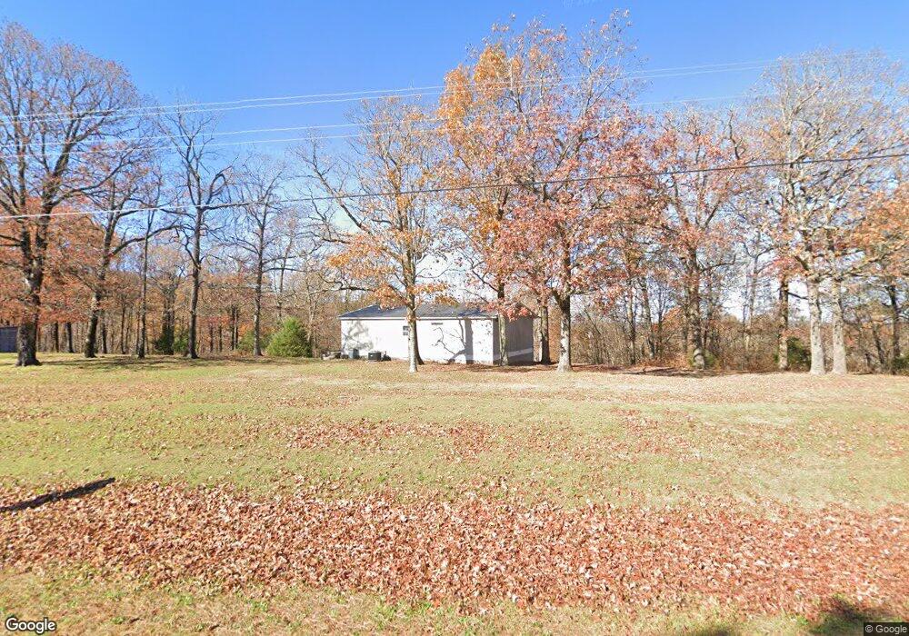
16301 S Highway 170 West Fork, AR 72774
Estimated Value: $199,584 - $351,000
--
Bed
1
Bath
1,064
Sq Ft
$281/Sq Ft
Est. Value
About This Home
This home is located at 16301 S Highway 170, West Fork, AR 72774 and is currently estimated at $298,861, approximately $280 per square foot. 16301 S Highway 170 is a home with nearby schools including West Fork Elementary School, West Fork Middle School, and West Fork High School.
Ownership History
Date
Name
Owned For
Owner Type
Purchase Details
Closed on
Dec 16, 2015
Bought by
Ramey Bruce A
Current Estimated Value
Purchase Details
Closed on
Dec 11, 1995
Bought by
Sagers Stanley Roy
Purchase Details
Closed on
Feb 15, 1994
Bought by
Mitchell Cheryl Lea
Purchase Details
Closed on
Jul 22, 1992
Bought by
Adams George J and Adams Sherri K
Purchase Details
Closed on
Jan 1, 1985
Bought by
Trapp E Philip
Create a Home Valuation Report for This Property
The Home Valuation Report is an in-depth analysis detailing your home's value as well as a comparison with similar homes in the area
Home Values in the Area
Average Home Value in this Area
Purchase History
| Date | Buyer | Sale Price | Title Company |
|---|---|---|---|
| Ramey Bruce A | -- | -- | |
| Sagers Stanley Roy | -- | -- | |
| Mitchell Cheryl Lea | $44,000 | -- | |
| Adams George J | $8,000 | -- | |
| Trapp E Philip | -- | -- |
Source: Public Records
Tax History Compared to Growth
Tax History
| Year | Tax Paid | Tax Assessment Tax Assessment Total Assessment is a certain percentage of the fair market value that is determined by local assessors to be the total taxable value of land and additions on the property. | Land | Improvement |
|---|---|---|---|---|
| 2025 | $694 | $22,340 | $9,120 | $13,220 |
| 2024 | $640 | $22,340 | $9,120 | $13,220 |
| 2023 | $589 | $22,340 | $9,120 | $13,220 |
| 2022 | $587 | $11,140 | $2,620 | $8,520 |
| 2021 | $547 | $11,140 | $2,620 | $8,520 |
| 2020 | $506 | $11,140 | $2,620 | $8,520 |
| 2019 | $464 | $8,590 | $2,140 | $6,450 |
| 2018 | $464 | $8,590 | $2,140 | $6,450 |
| 2017 | $400 | $8,590 | $2,140 | $6,450 |
| 2016 | $60 | $8,590 | $2,140 | $6,450 |
| 2015 | $10 | $8,590 | $2,140 | $6,450 |
| 2014 | $9 | $7,210 | $1,950 | $5,260 |
Source: Public Records
Map
Nearby Homes
- 16977 Holcombe School Rd
- 16891 Holcombe School Rd
- 14516 Friendship Church Rd
- 17952 S Highway 170
- 14931 Friendship Church Rd
- 30.47 Acres Onda Mountain (Wc 213)
- 17300 Bethlehem Rd
- 18403 S Highway 170
- 14815 Paulk Rd
- 14463 Friendship Church Rd
- 14648 Director Rd
- 16293 Arkansas 265
- 14673 Union Star Rd
- 16291 S Highway 265
- 00 Hubbard Rd
- 12063 W Highway 156
- 10768 Wooton Rd
- TBD Zinnamon Church Rd
- 17441 Winn Creek Rd
- 15337 Stagecoach Rd
- 16462 Trapp Wc 2073 Rd
- 0 Trapp Hill Rd
- 0 Trapp Hill
- 16395 Trapp Rd
- 16290 S Highway 170
- 16290 Arkansas 170
- 16311 Trapp Rd
- 16468 S Highway 170
- 16396 S Highway 170
- 16431 Trapp Rd
- 16275 S Highway 170
- 16494 Arkansas 170
- 16494 S Highway 170
- 16155 Trapp Rd
- 0 Carney Rd
- 16362 County Road 221
- 0 County Road 221
- O Carney Rd
- 16347 Carney Rd
- 16425 Trapp Rd